")
Coast to Coast
")
C2C 2024
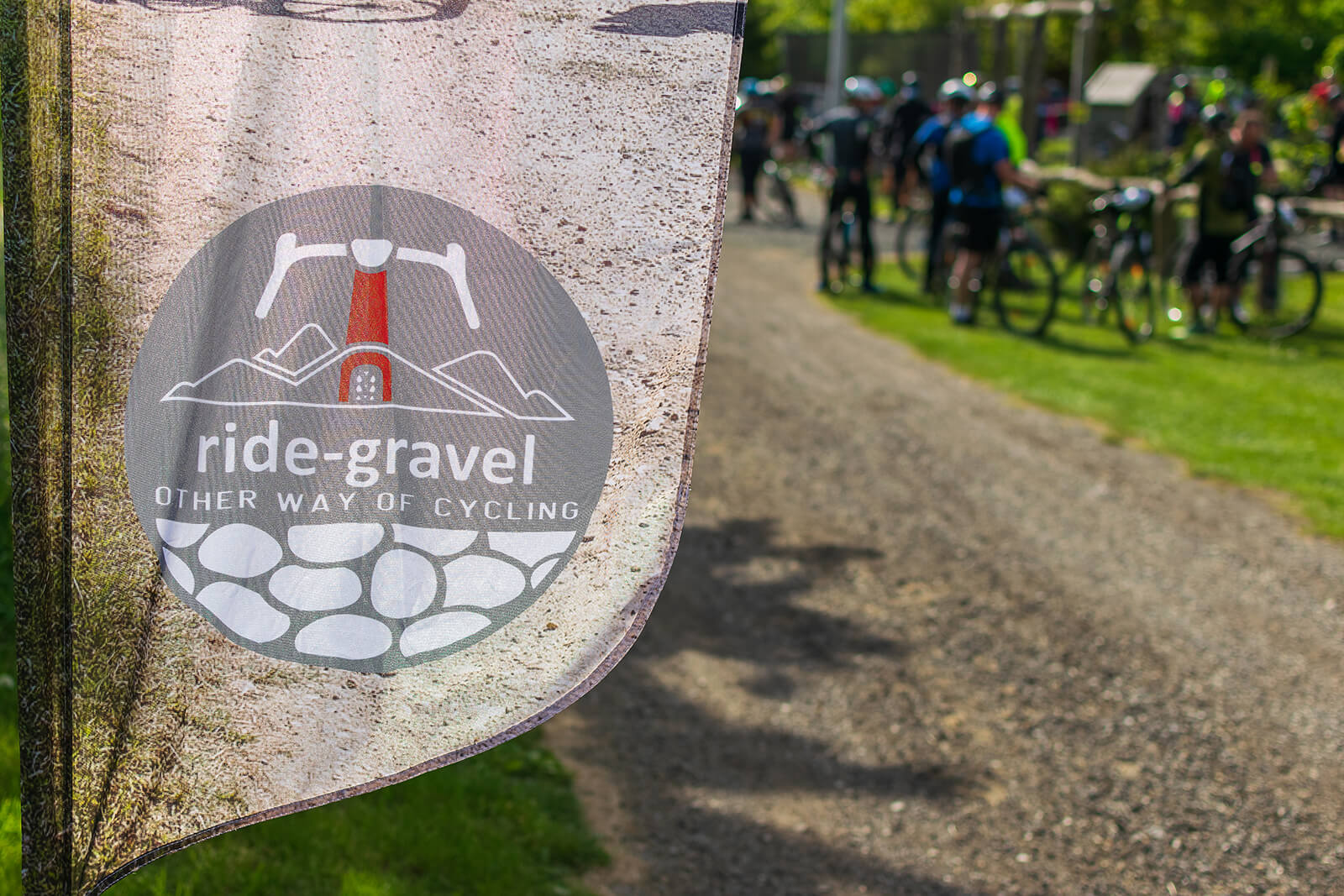
GRAVEL RIDE
April 20th 2024 (saturday)
Coast to Coast
C2C 2024
GRAVEL RIDE
April 20th 2024 (saturday)
Coast to Coast
C2C 2024
GRAVEL RIDE
April 20th 2024 (saturday)

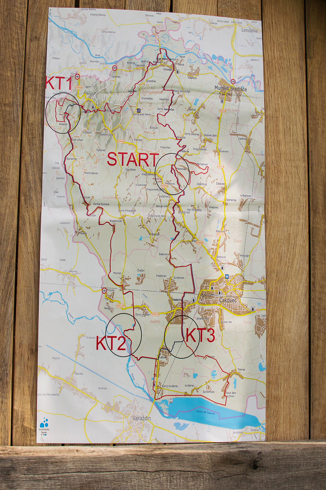
ROUTES
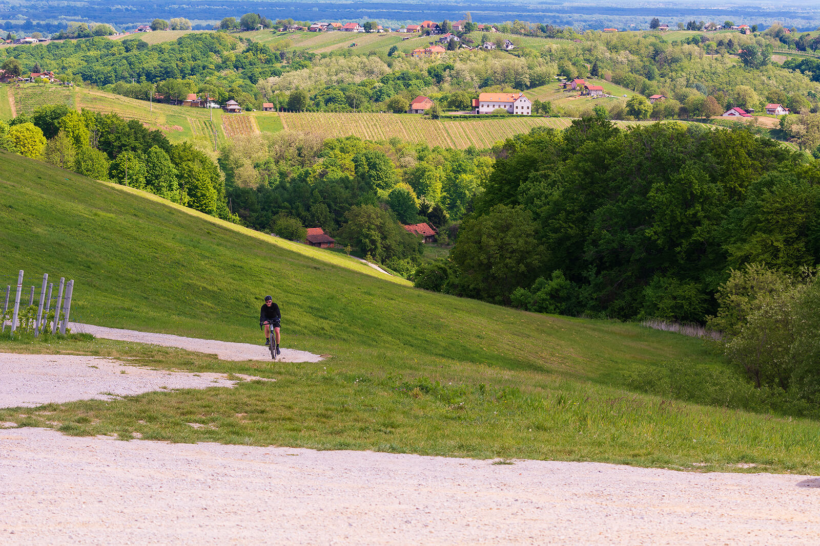
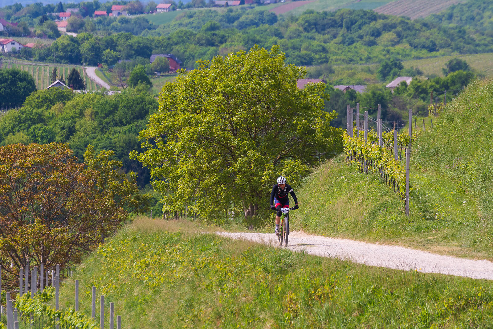
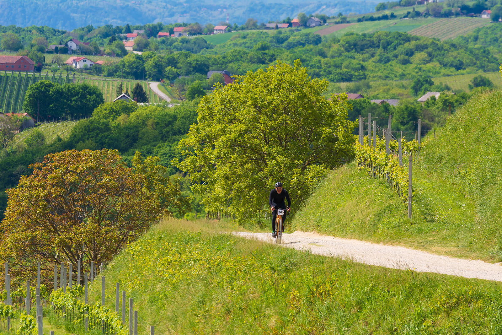
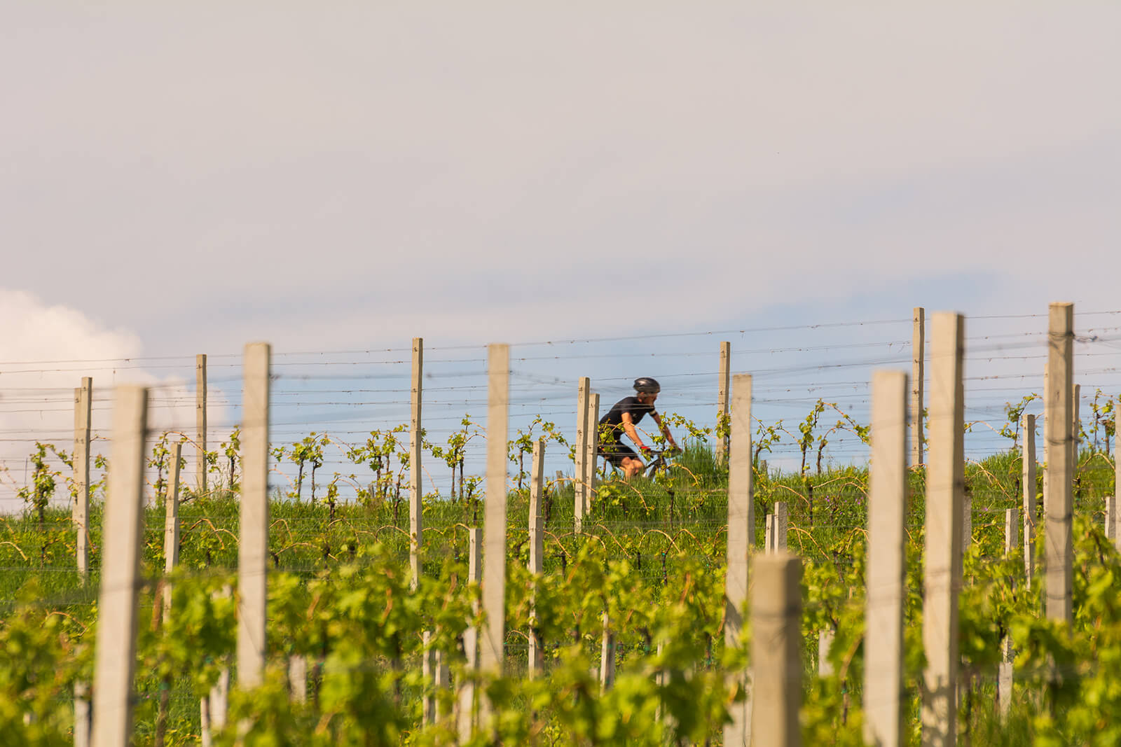
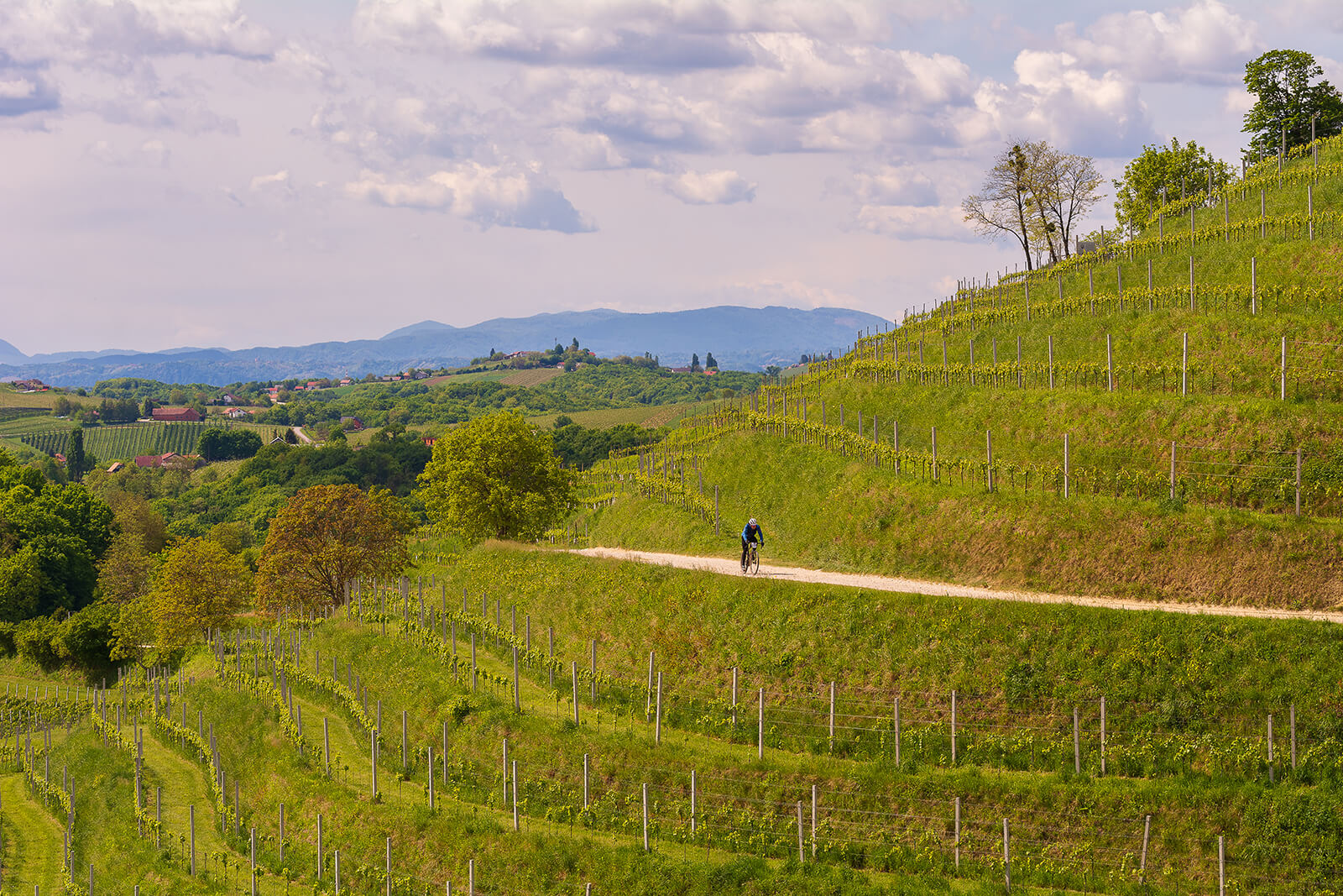
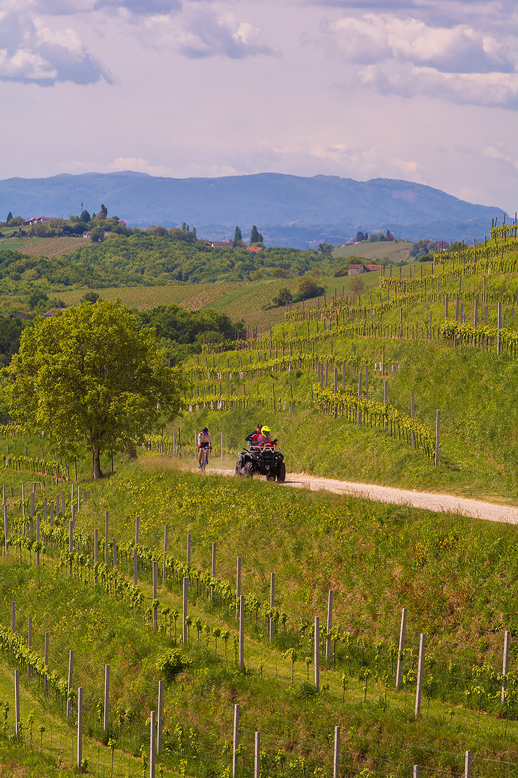
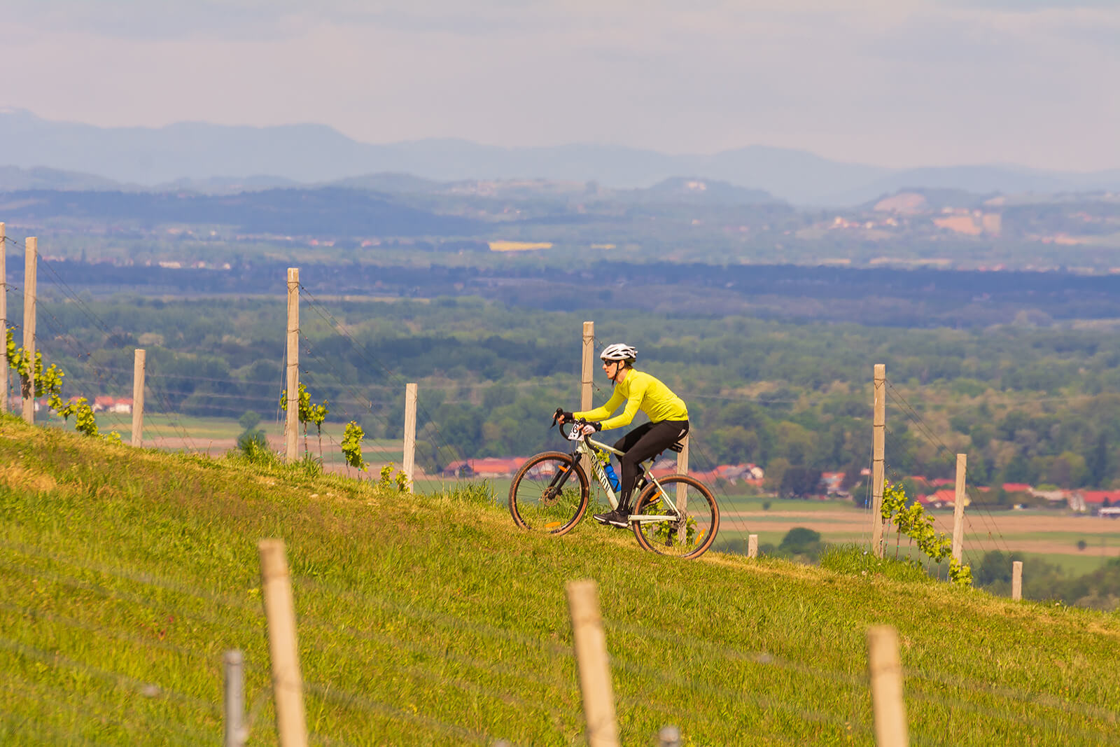
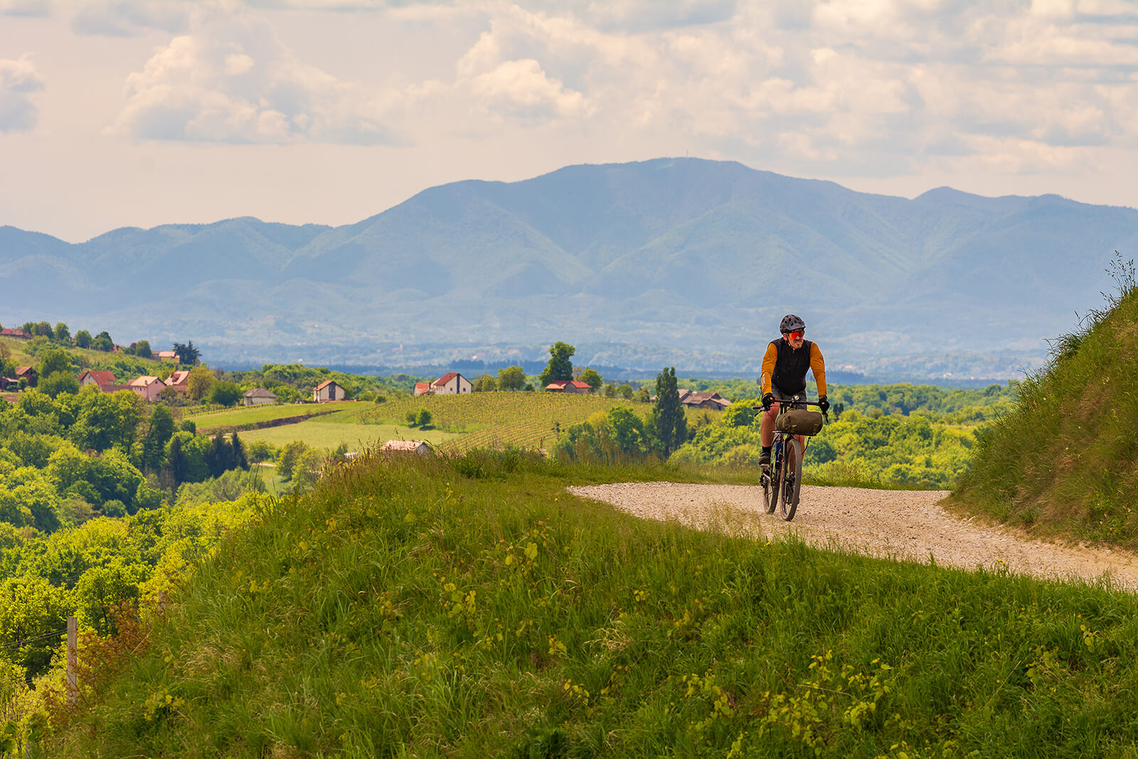
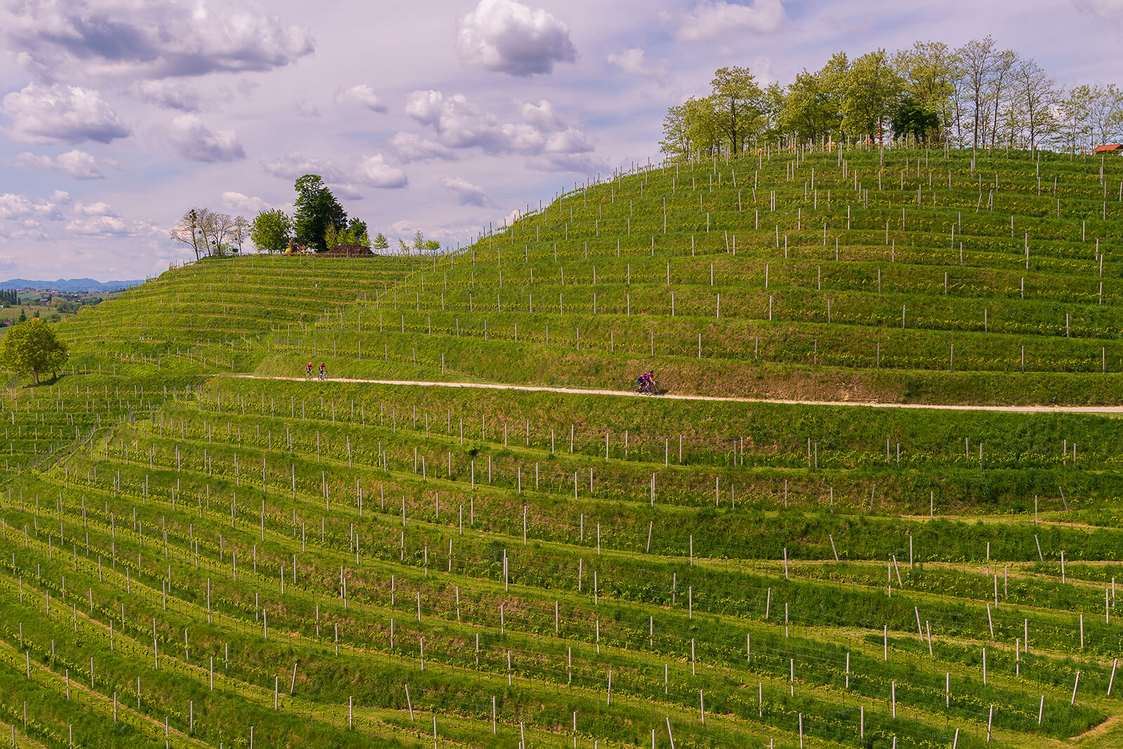
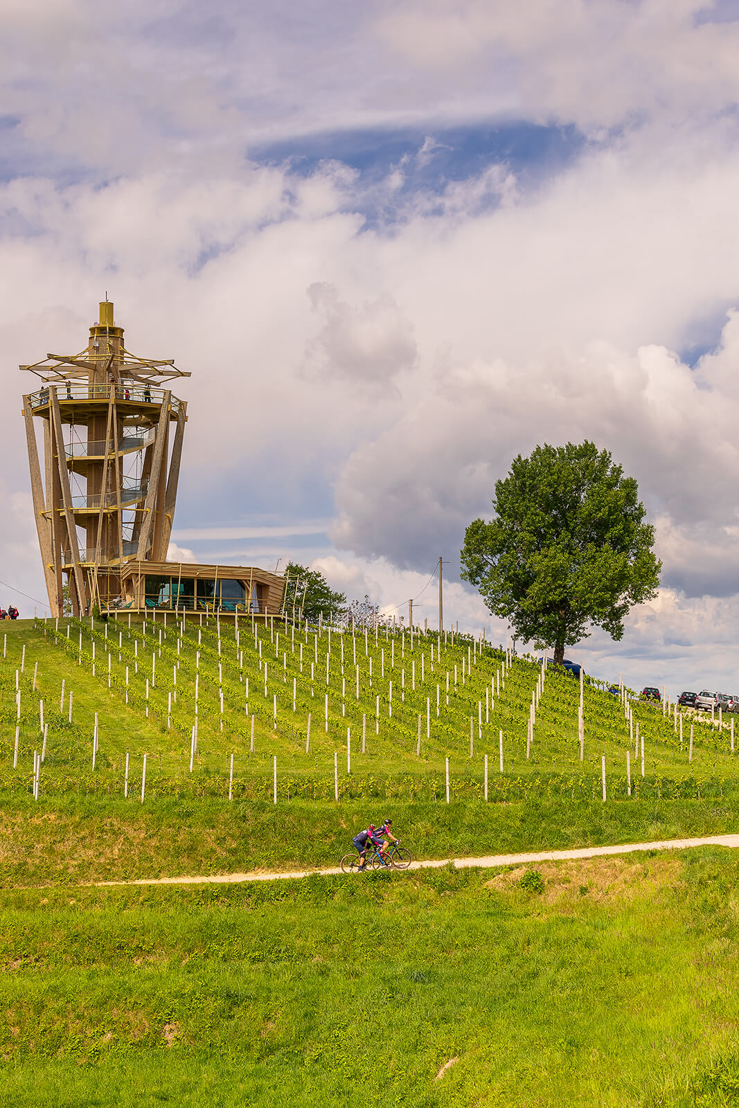
Ride harder. Statistics is a scientific discipline that studies how to collect, summarize, and present conclusions from data. The elevation profile of a trail attempts to partially illustrate the difficulty of the trail by the ratio of the distance traveled and the sum of the heights climbed. However, that is just one factor. This relentless statistics shows that the average elevation profile of the C2C trails is constantly increasing from year to year. Therefore, this year’s edition offers an even more attractive and challenging profile of both trails with more terrain oscillations. To achieve this, the trails were traced along the upper hilly, western part of Međimurje. However, to get the longer trail, it was necessary to stretch it out in the plain. Therefore, the shorter trail has a “stronger” average elevation profile than the longer one.
Coast to coast 2024 longer track
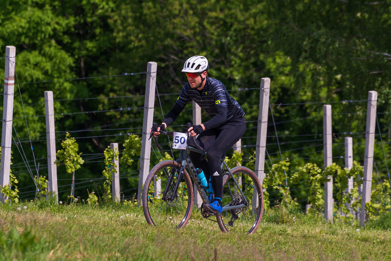
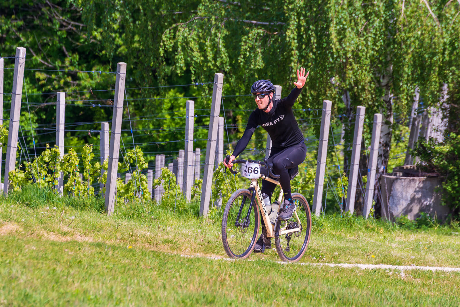
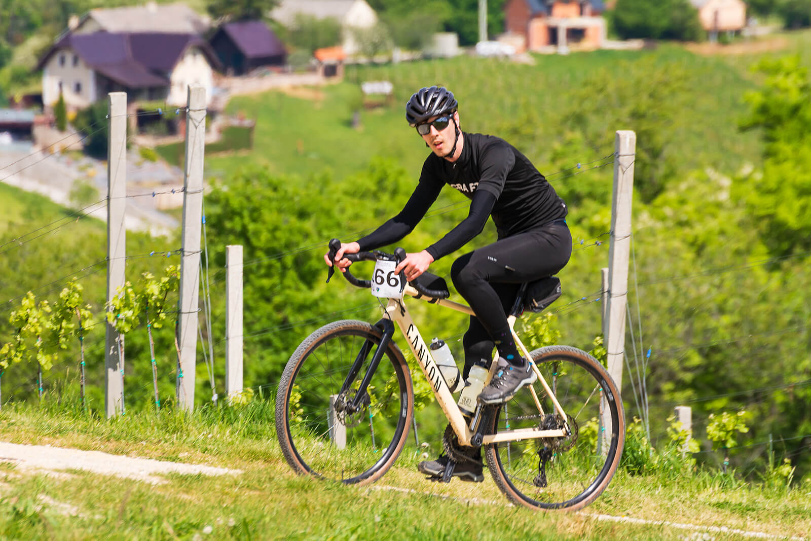
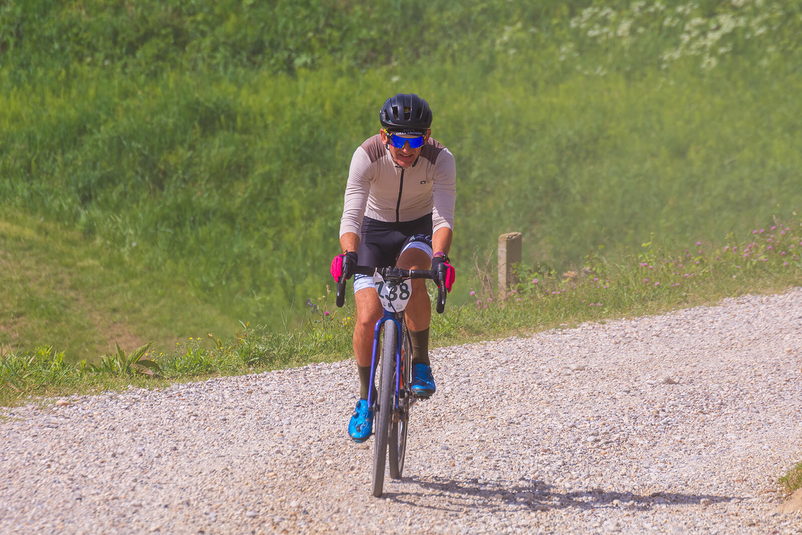
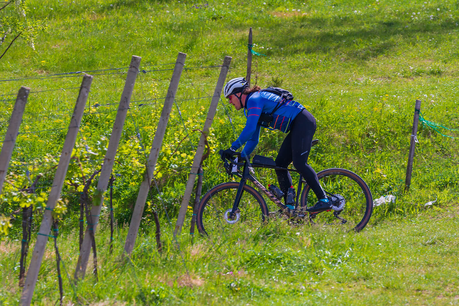
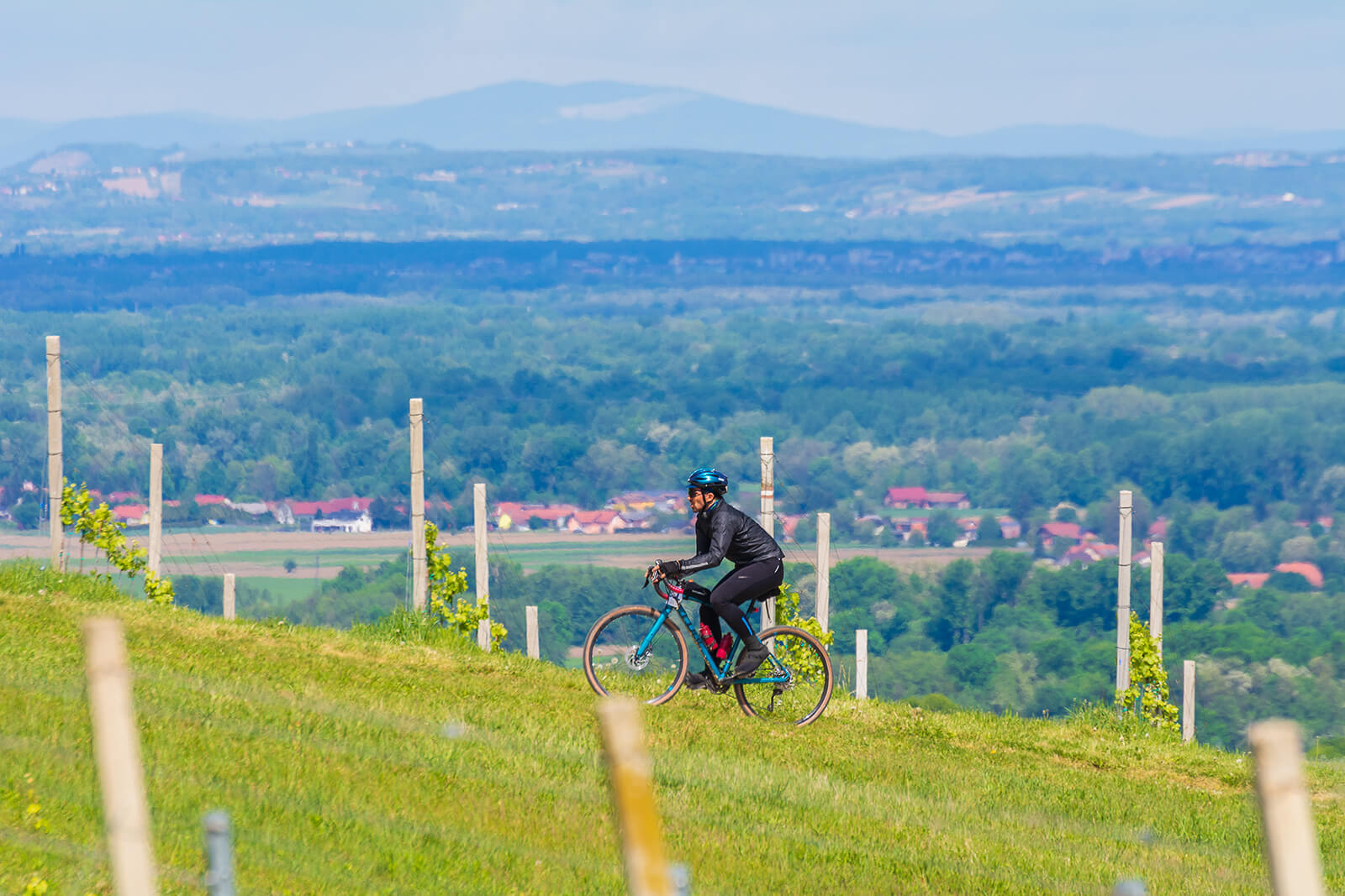
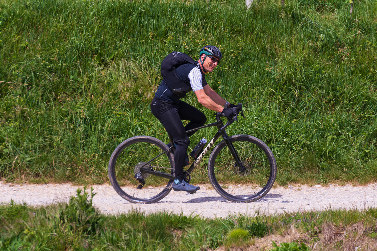
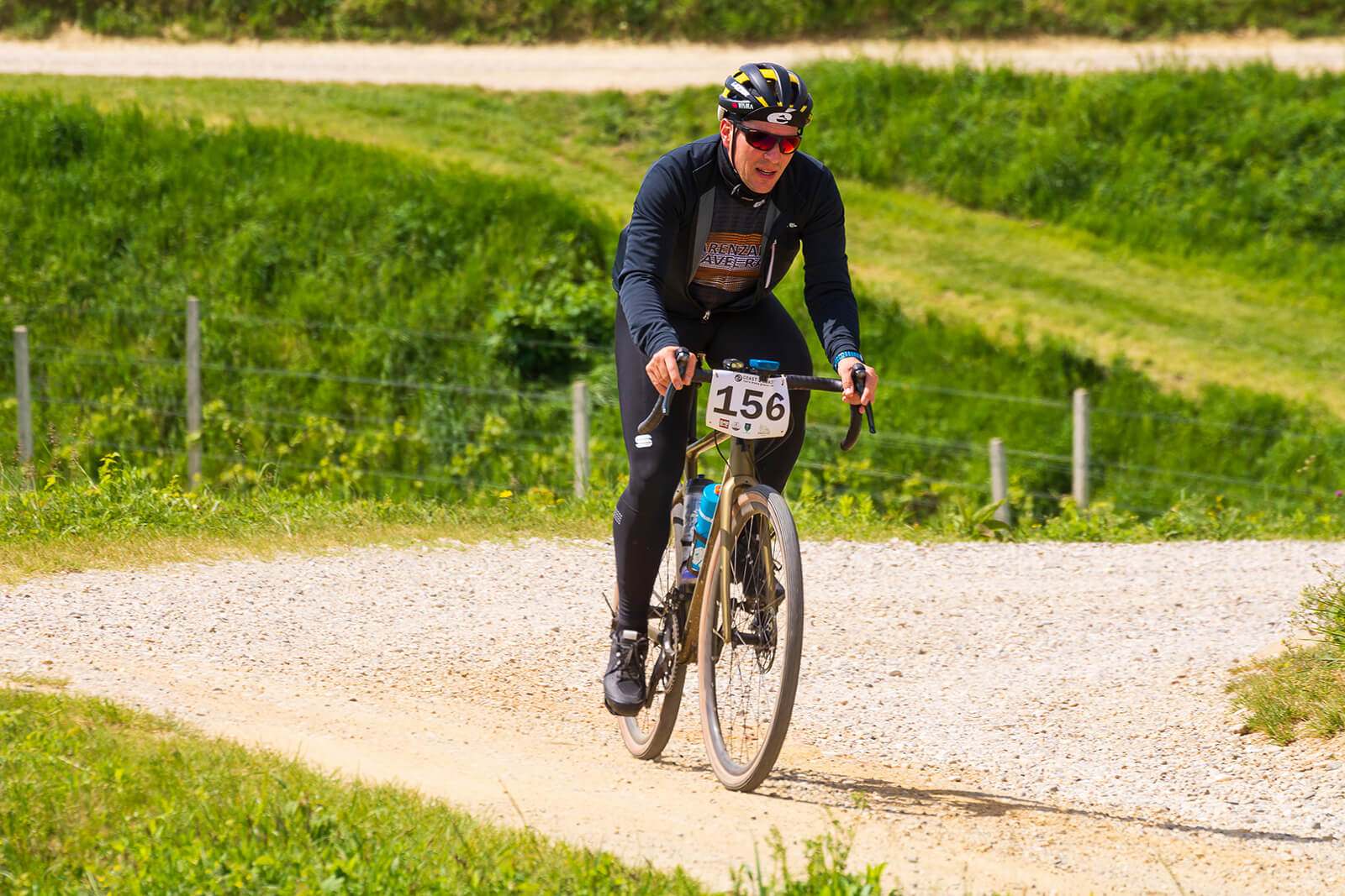
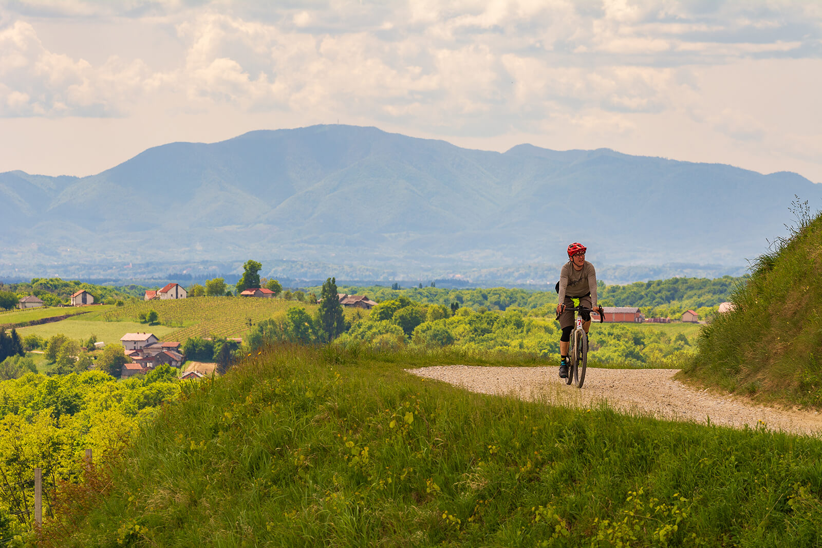
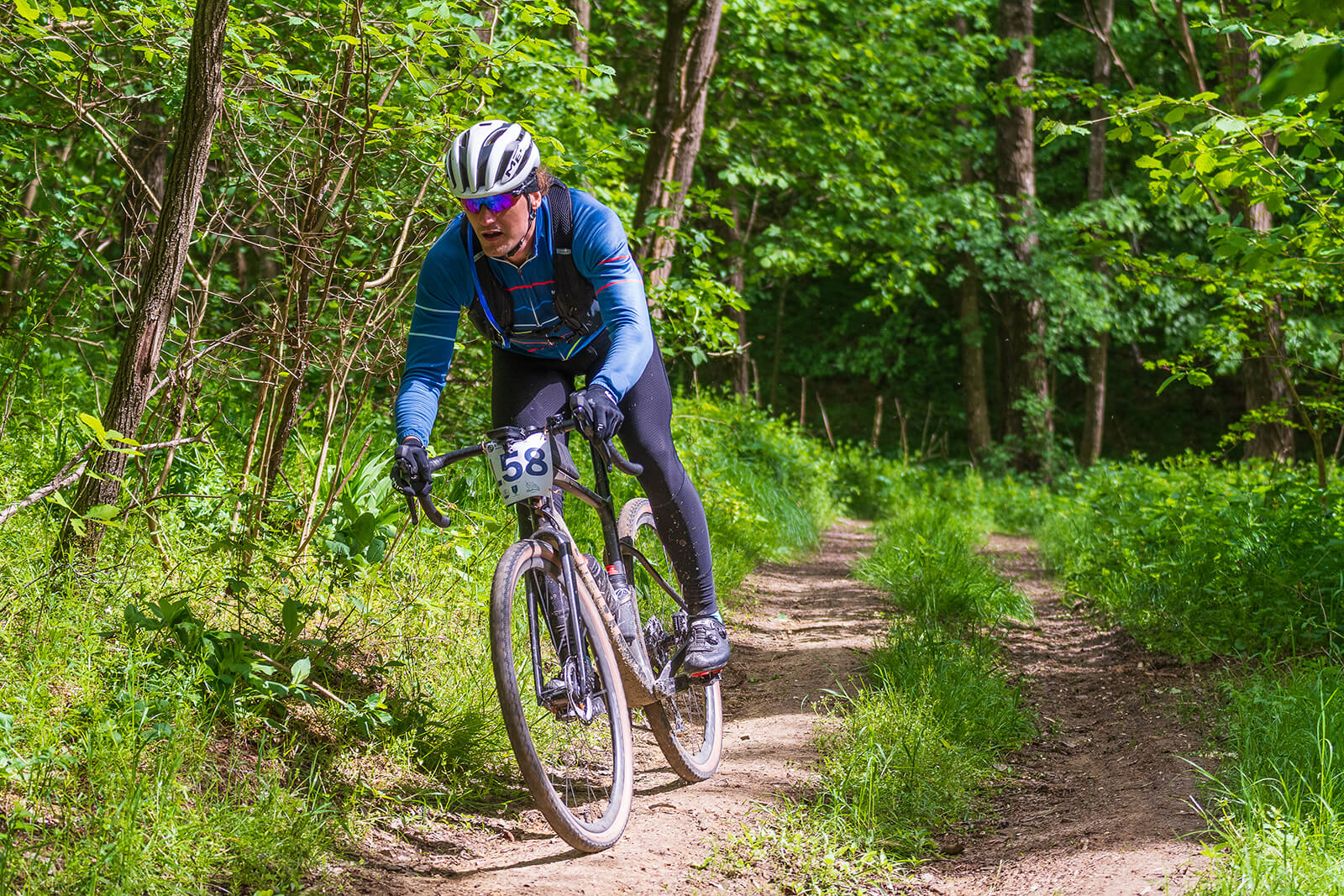
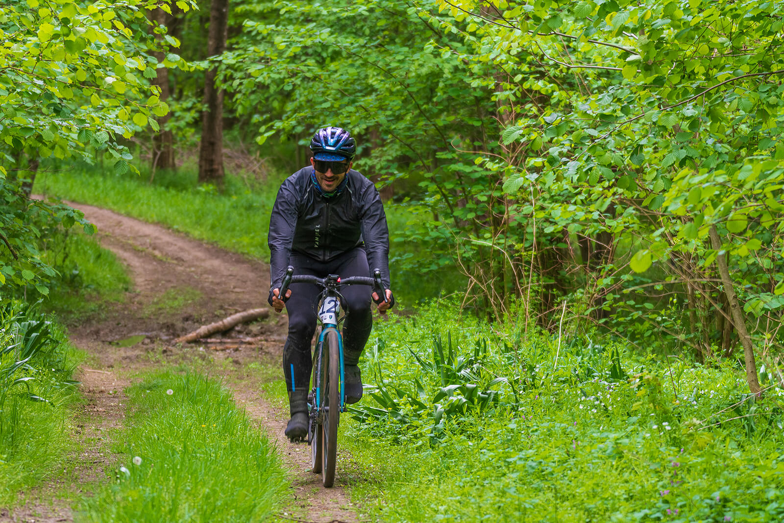
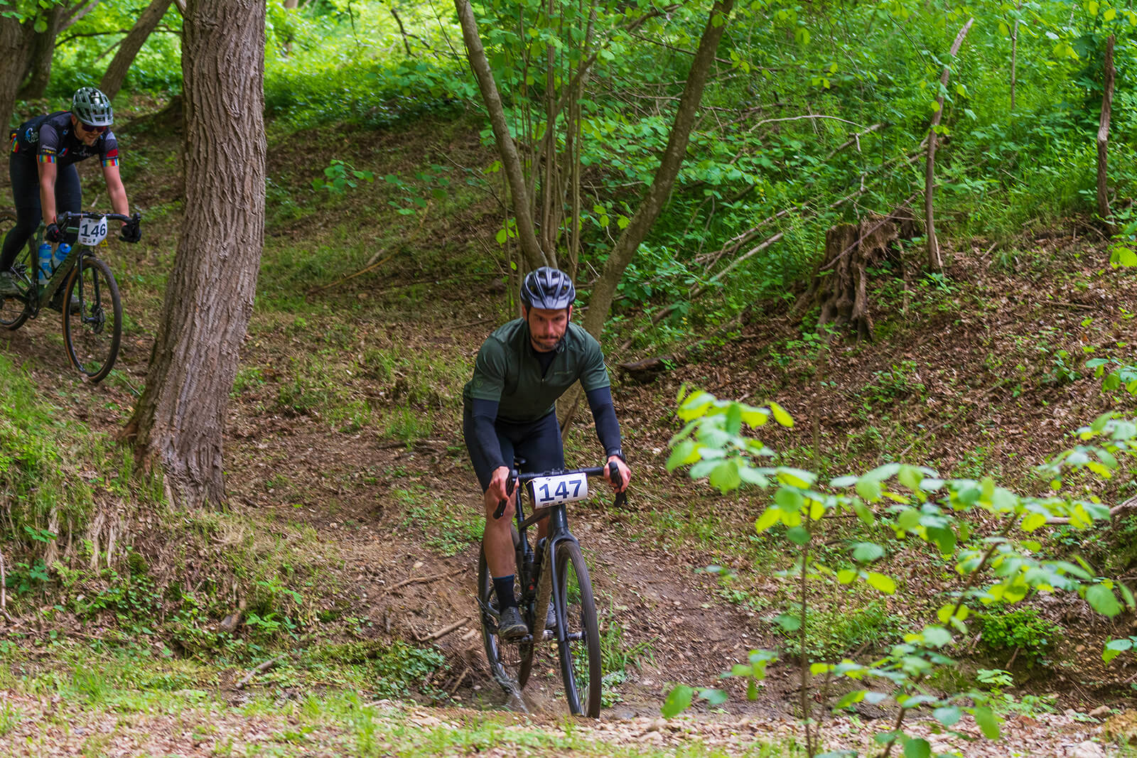
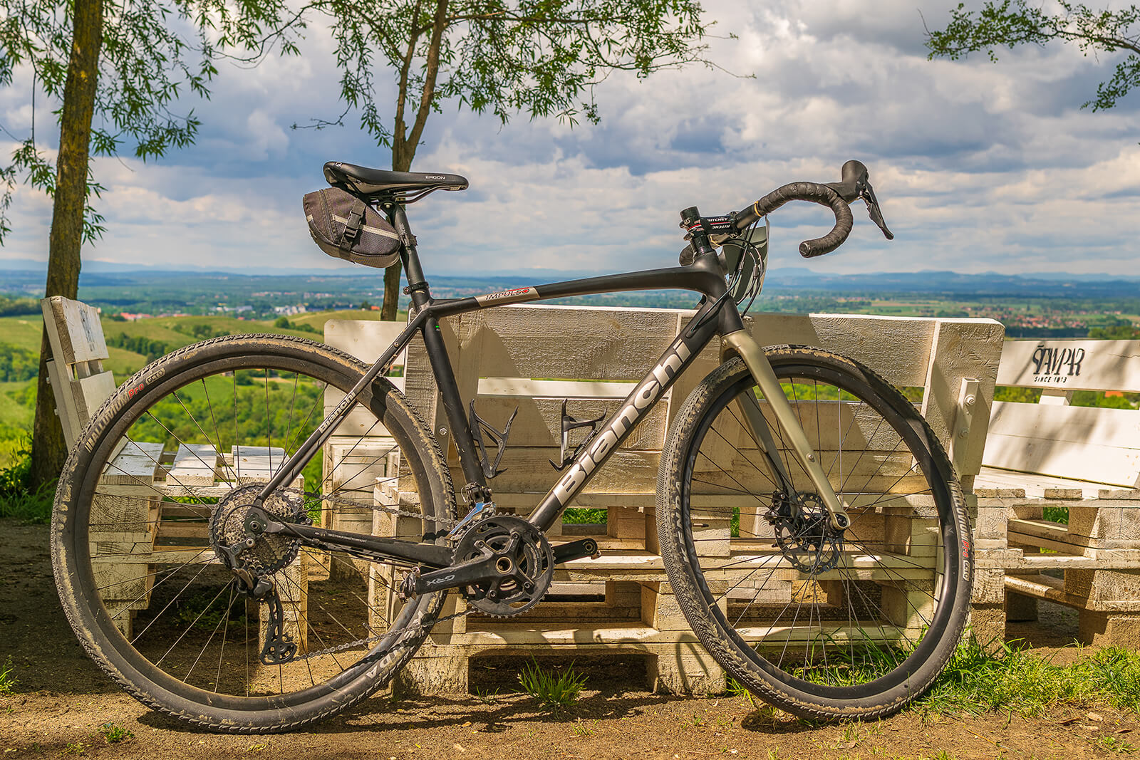
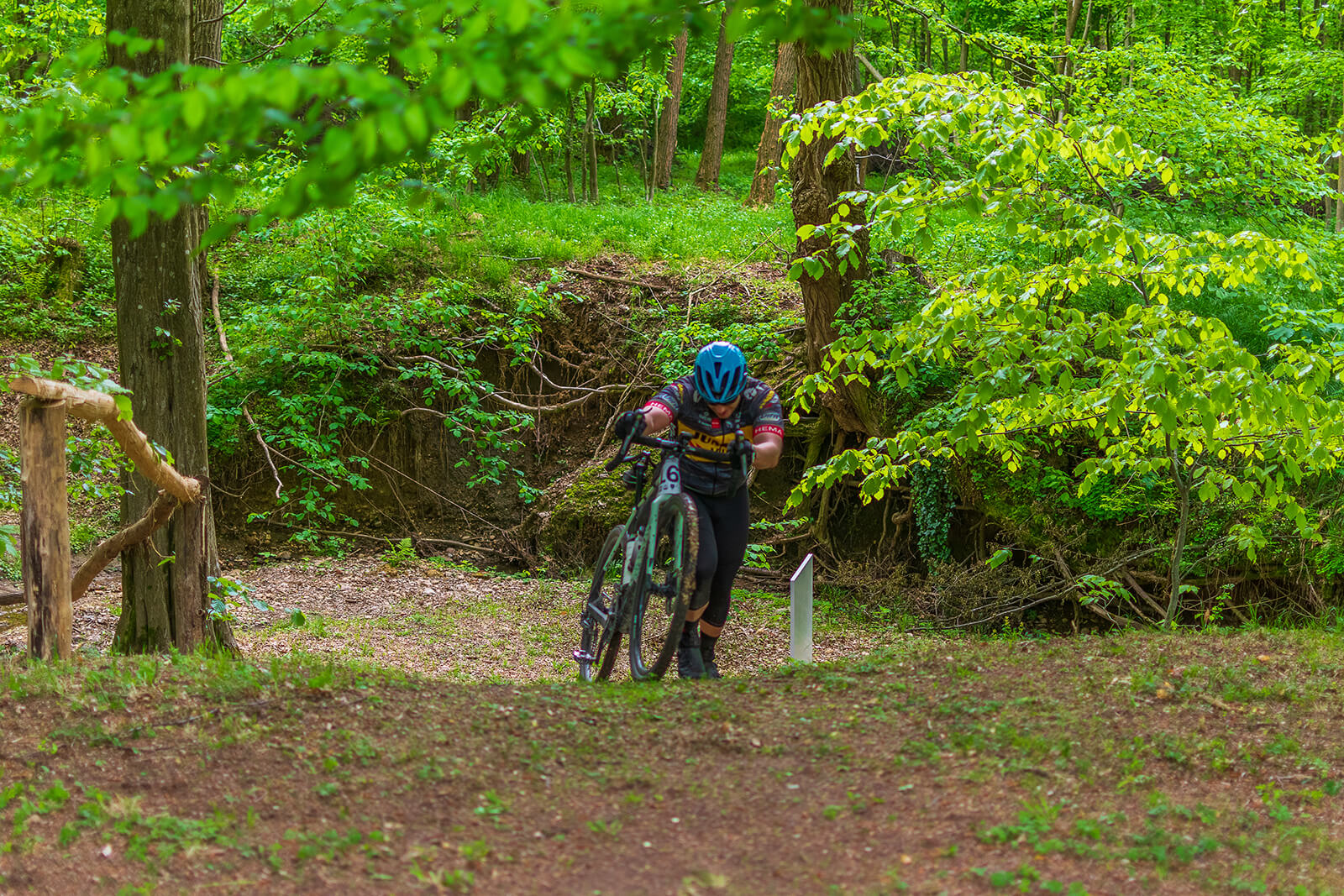
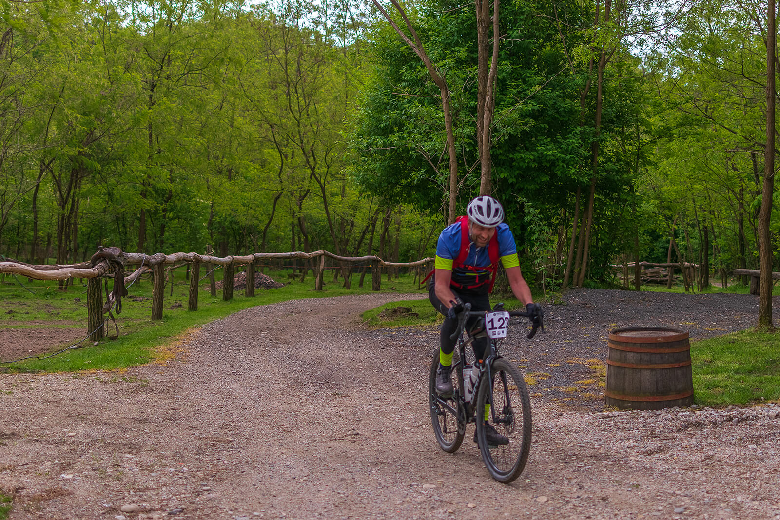
Path: 100 km with all types of surfaces: asphalt, forest road, field road, macadam road, dirt trail, forest trail, hunting trail, stone fortification, gravel trail, grass trail, sandy canyon.
Altitude profile: 1212 altitude meters.
Controls: – 3 control points: 2 along the course and the final one at the finish line.
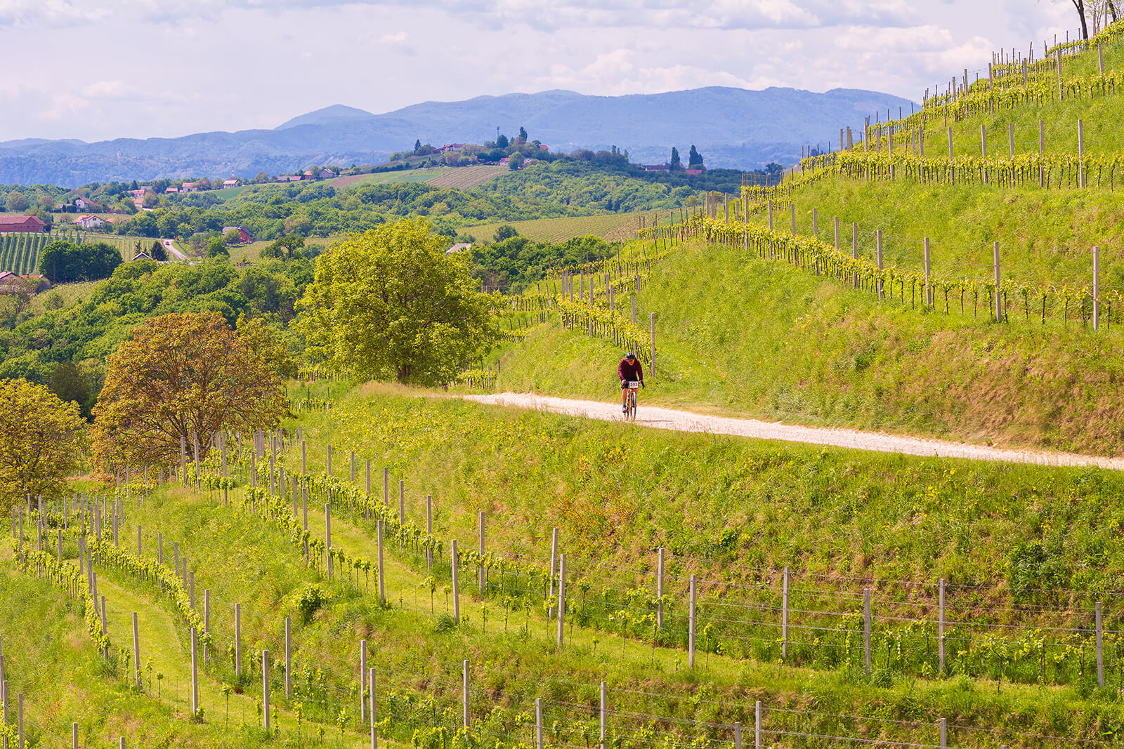
Coast to coast 2024 shorter track
Path: 75 km with all types of surfaces: asphalt, forest road, field road, macadam road, dirt trail, forest trail, hunting trail, stone fortification, gravel trail, grass trail, sandy canyon.
Altitude profile: 940 altitude meters.
Controls: – 3 control points: 2 along the course and the final one at the finish line.

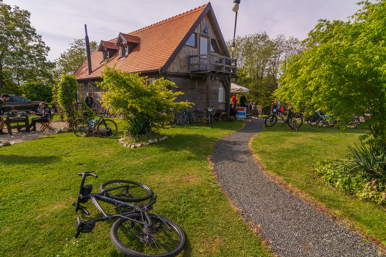
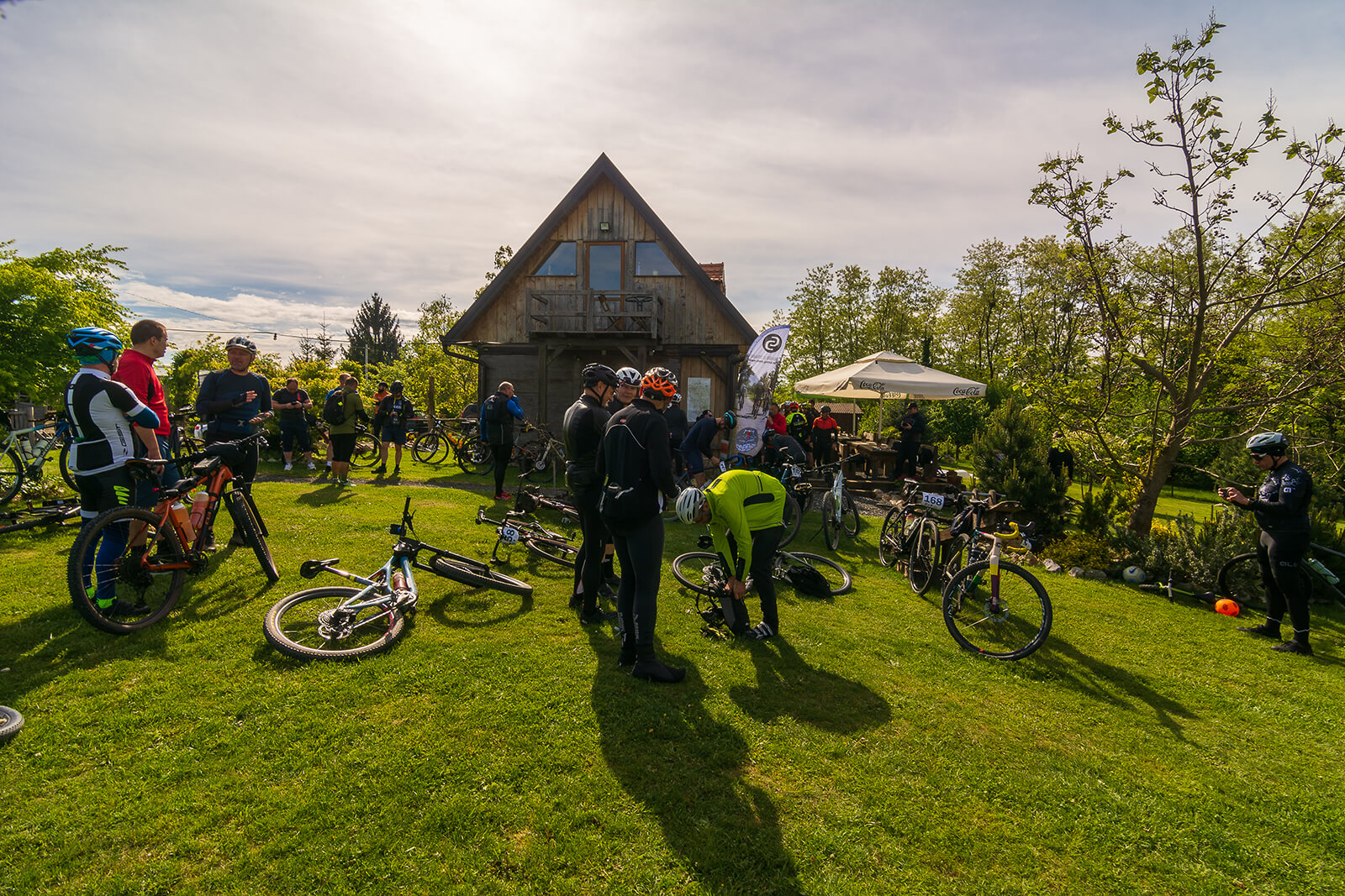
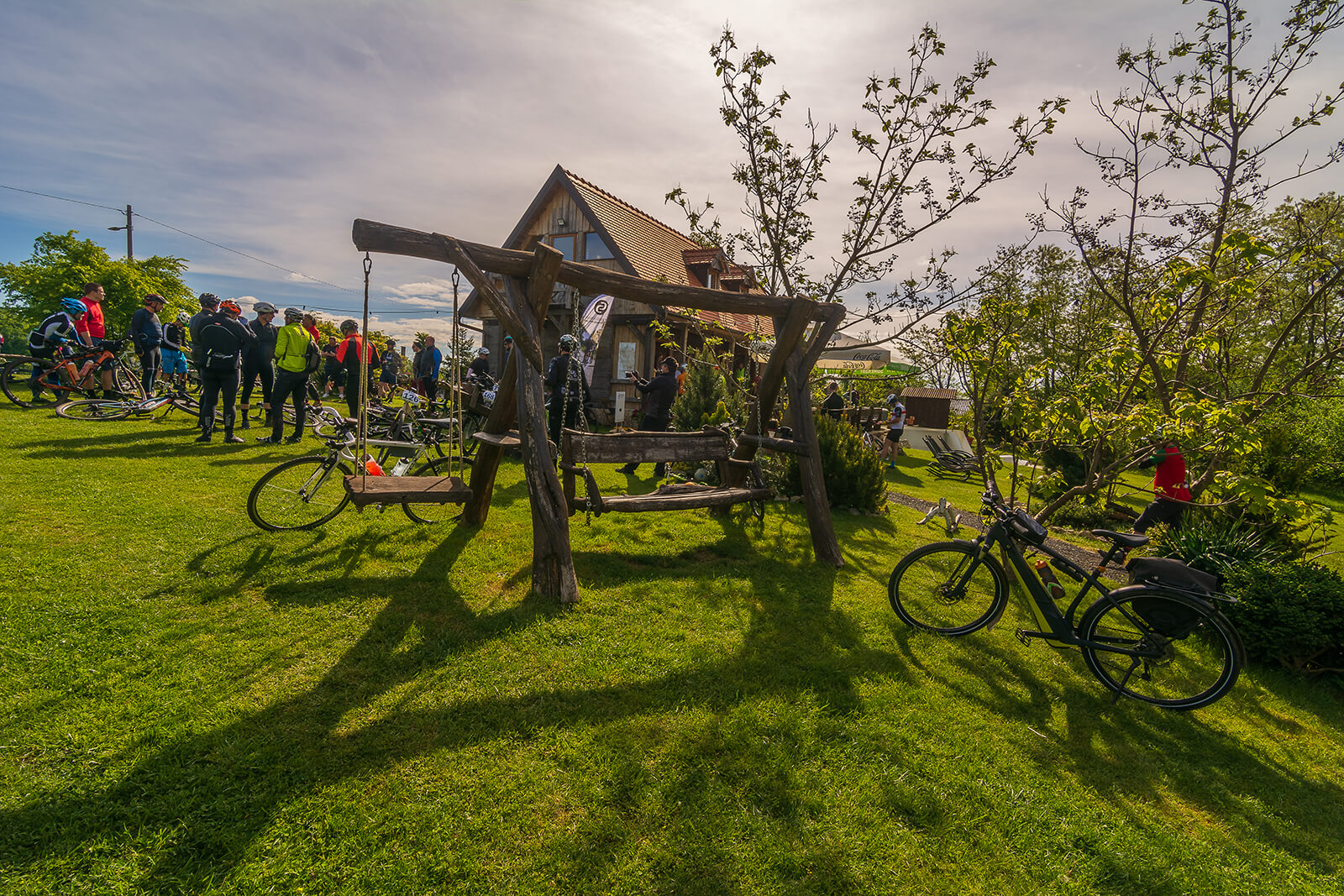
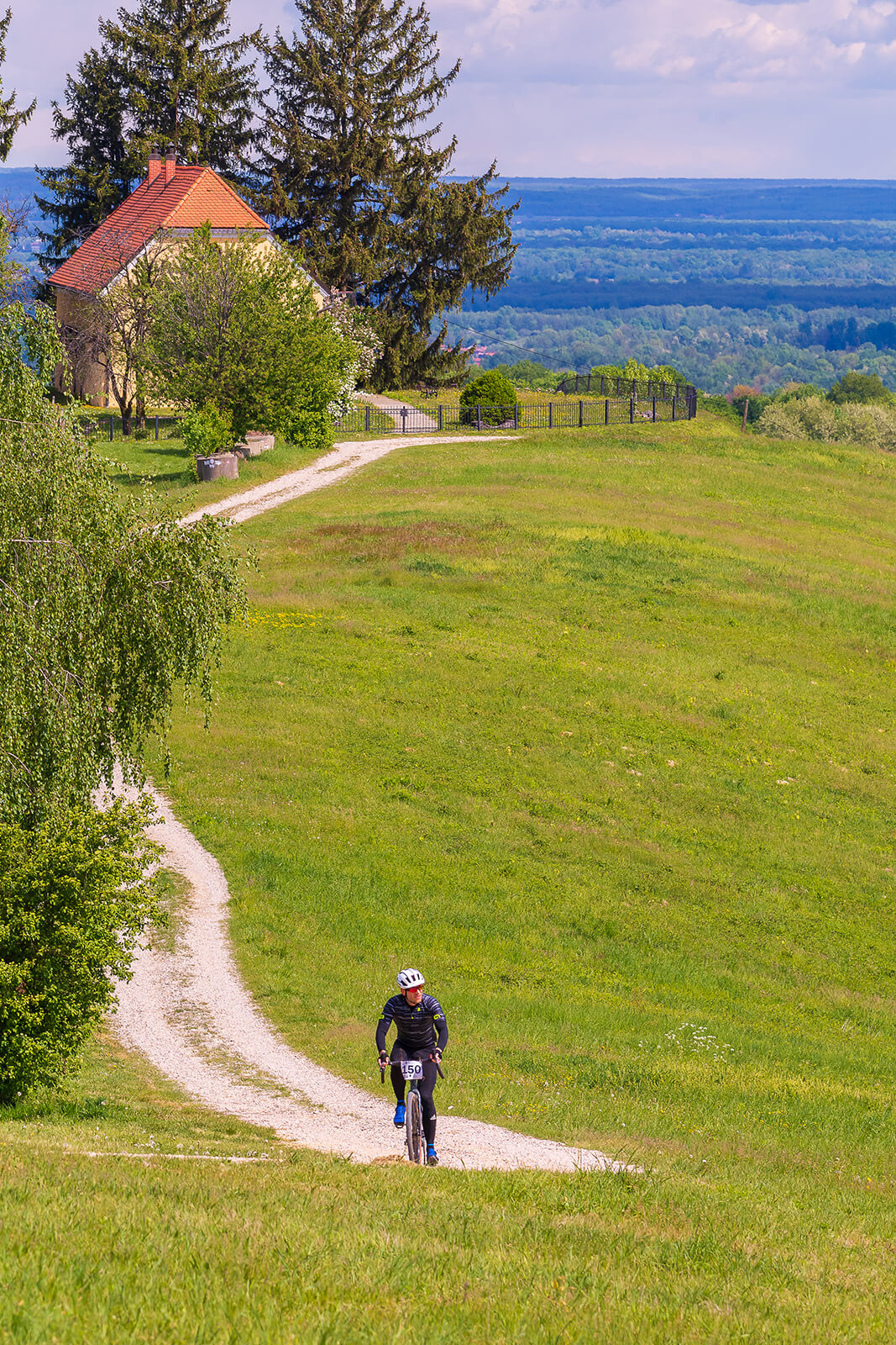
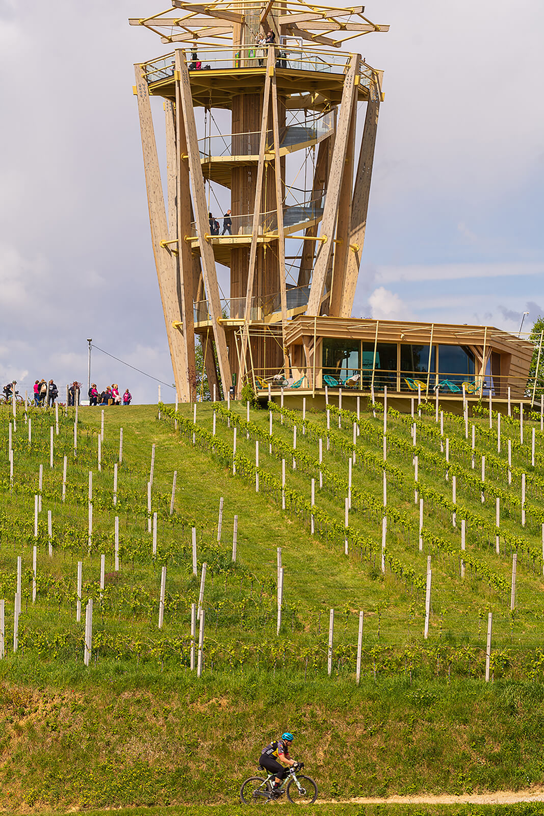
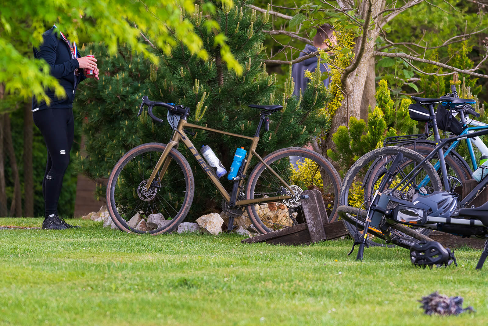
THE LOCATION
Ranch Curek, Pleškovec, 10 km from the center of Čakovec, Međimurje, Croatia

VIDEO
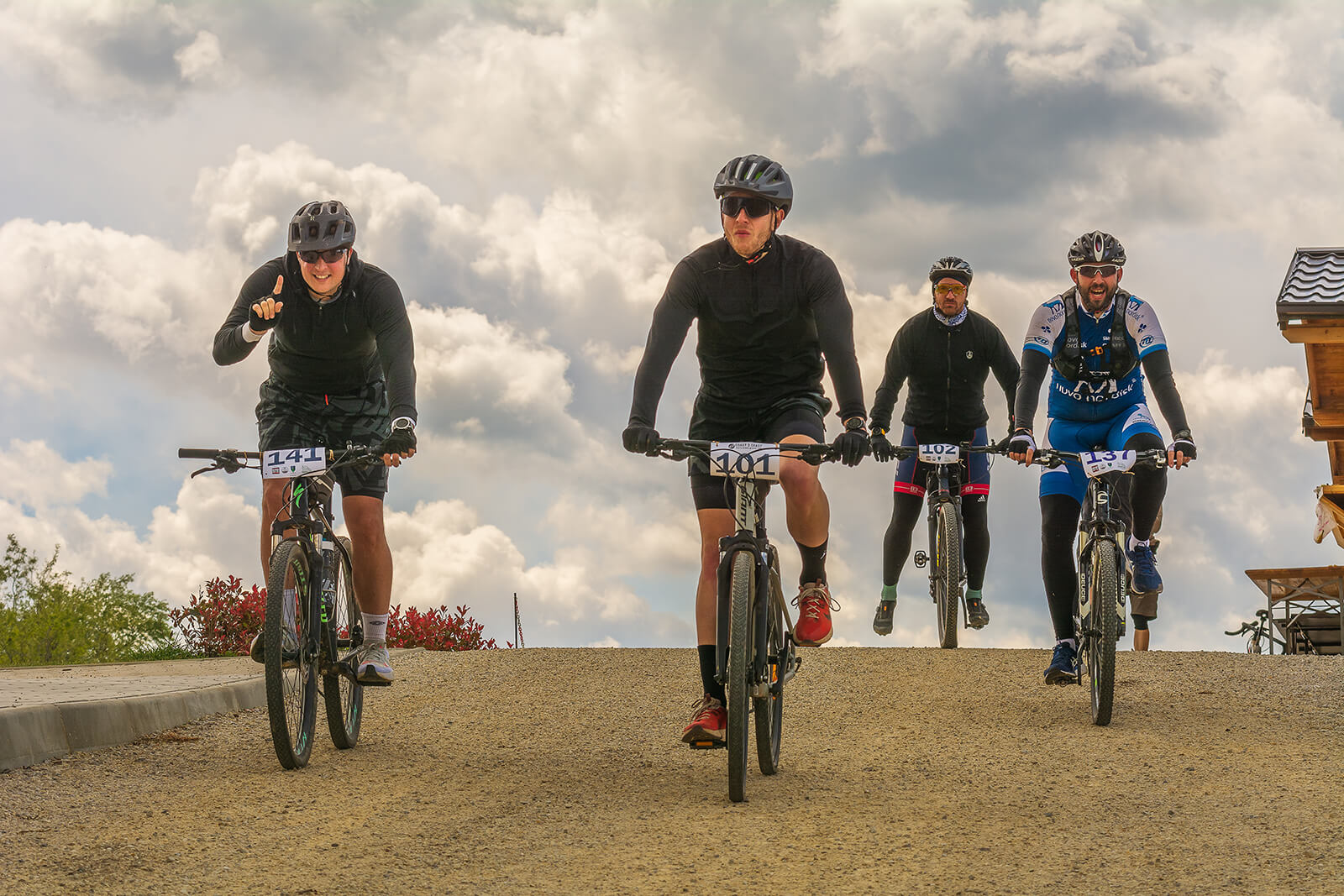
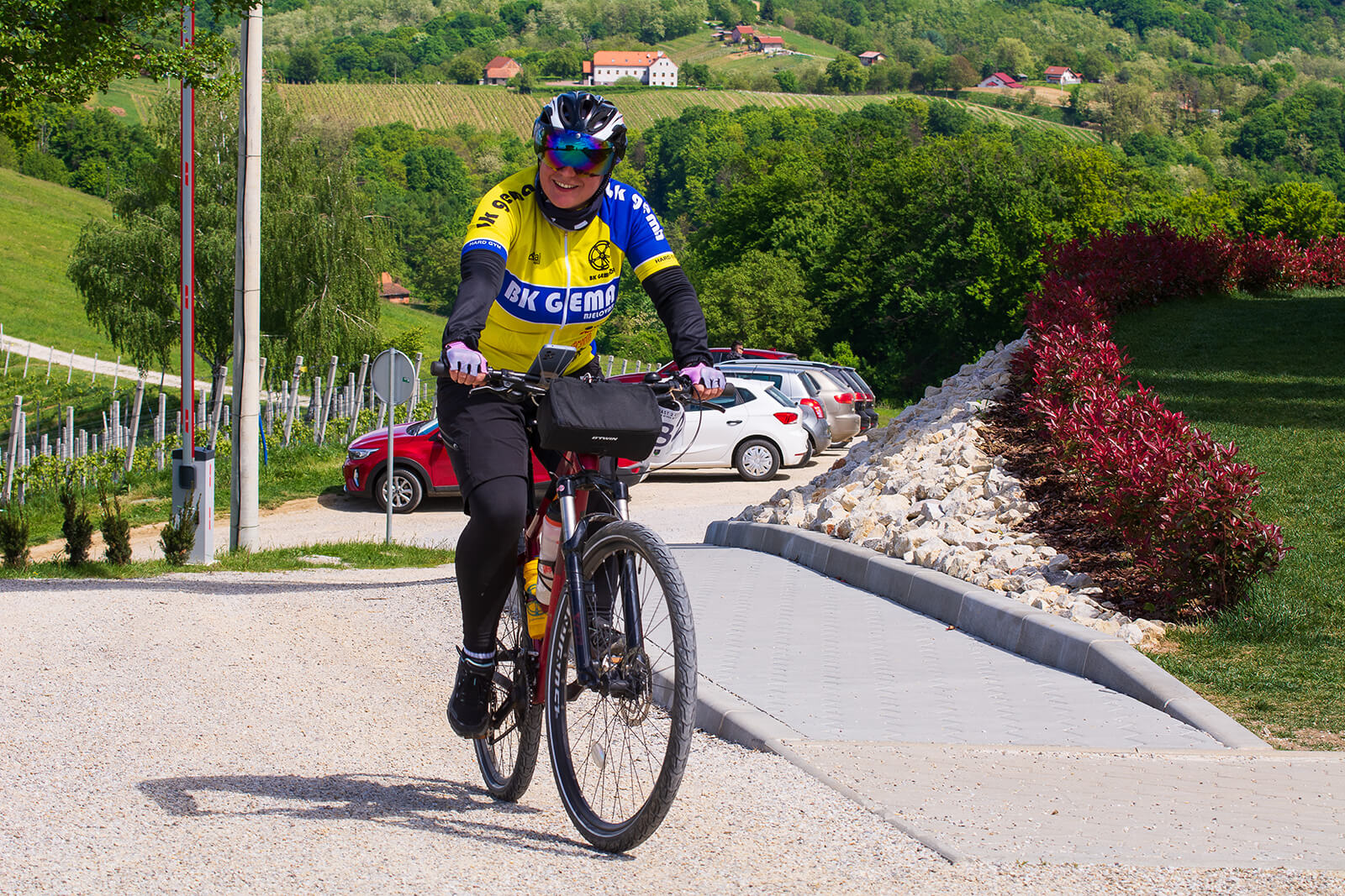
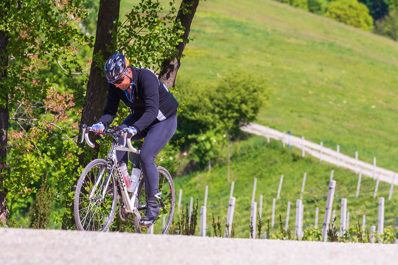
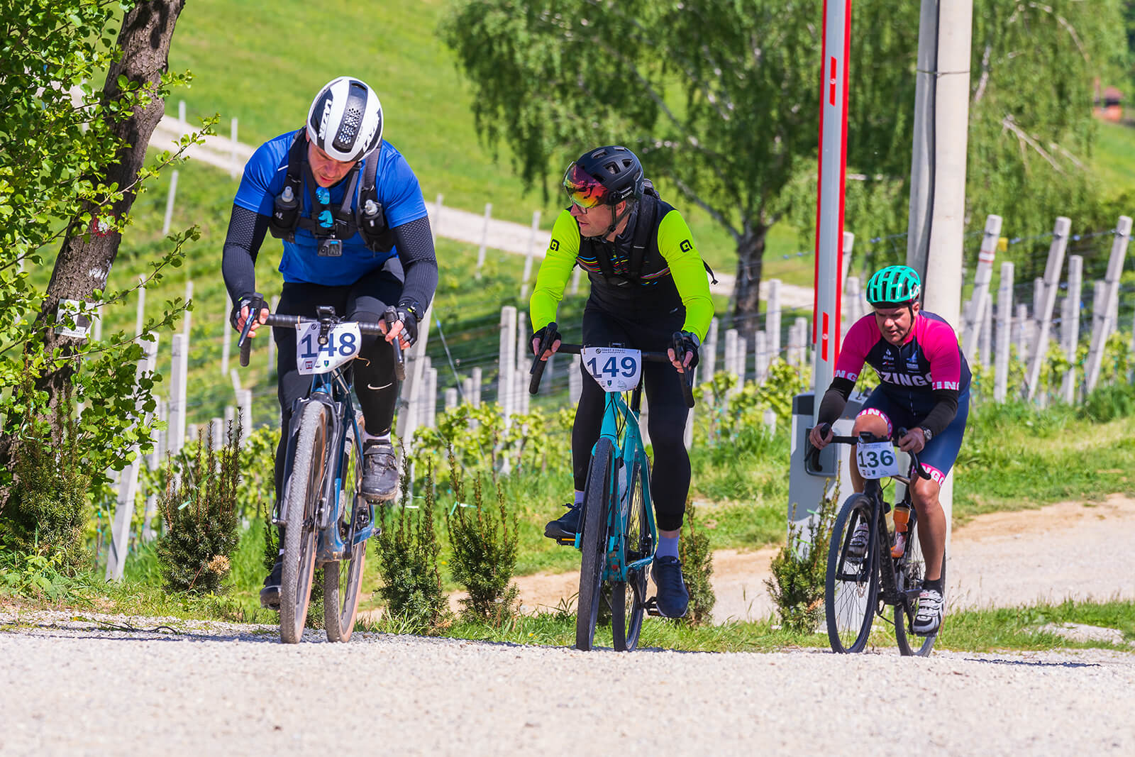
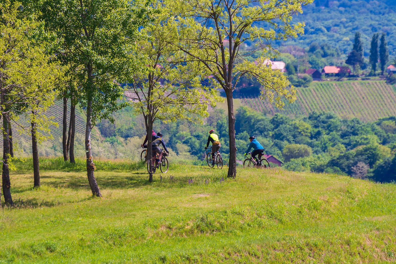
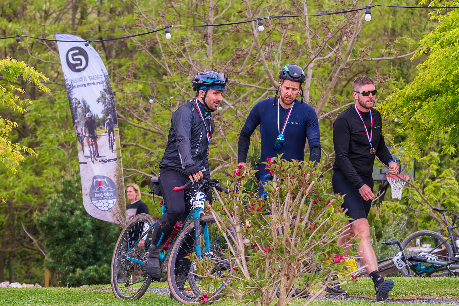
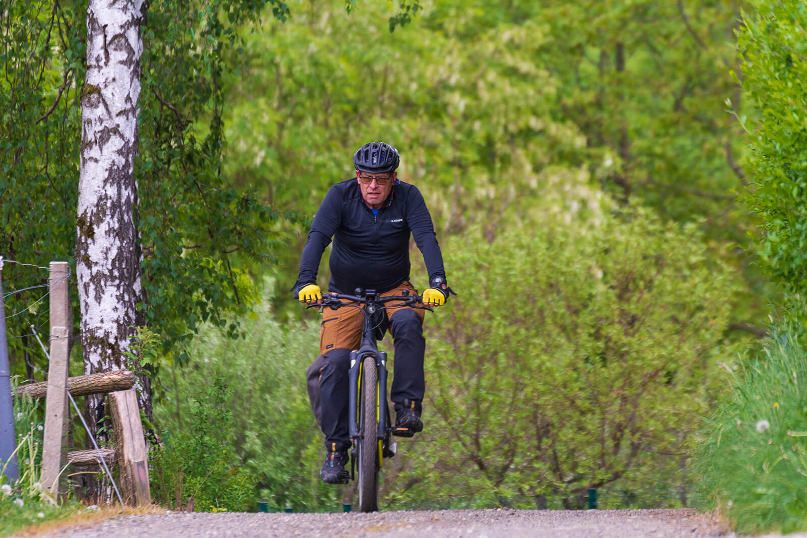
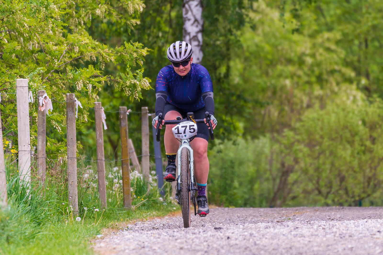
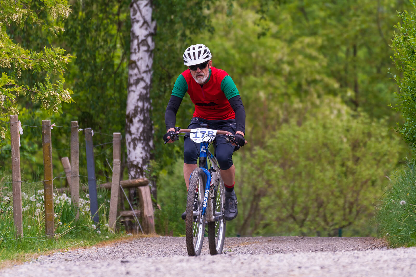
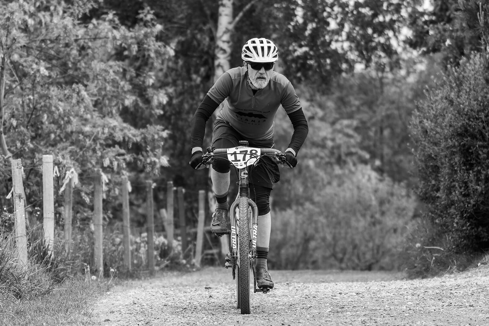
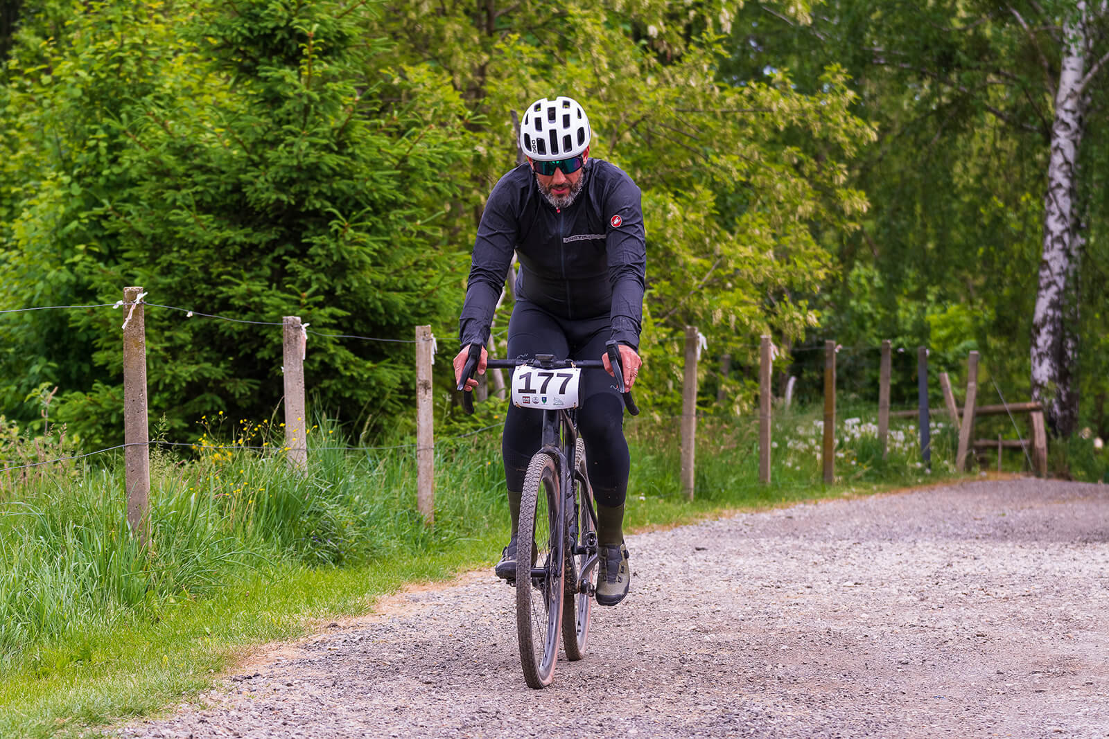
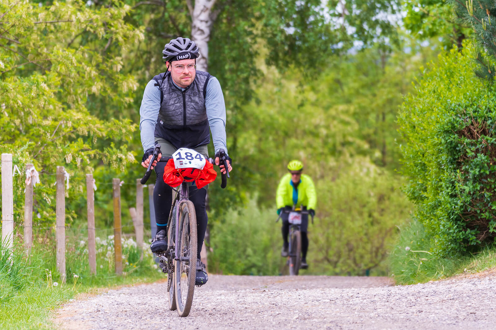
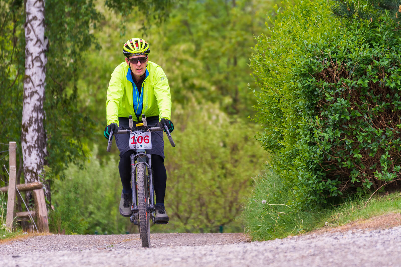
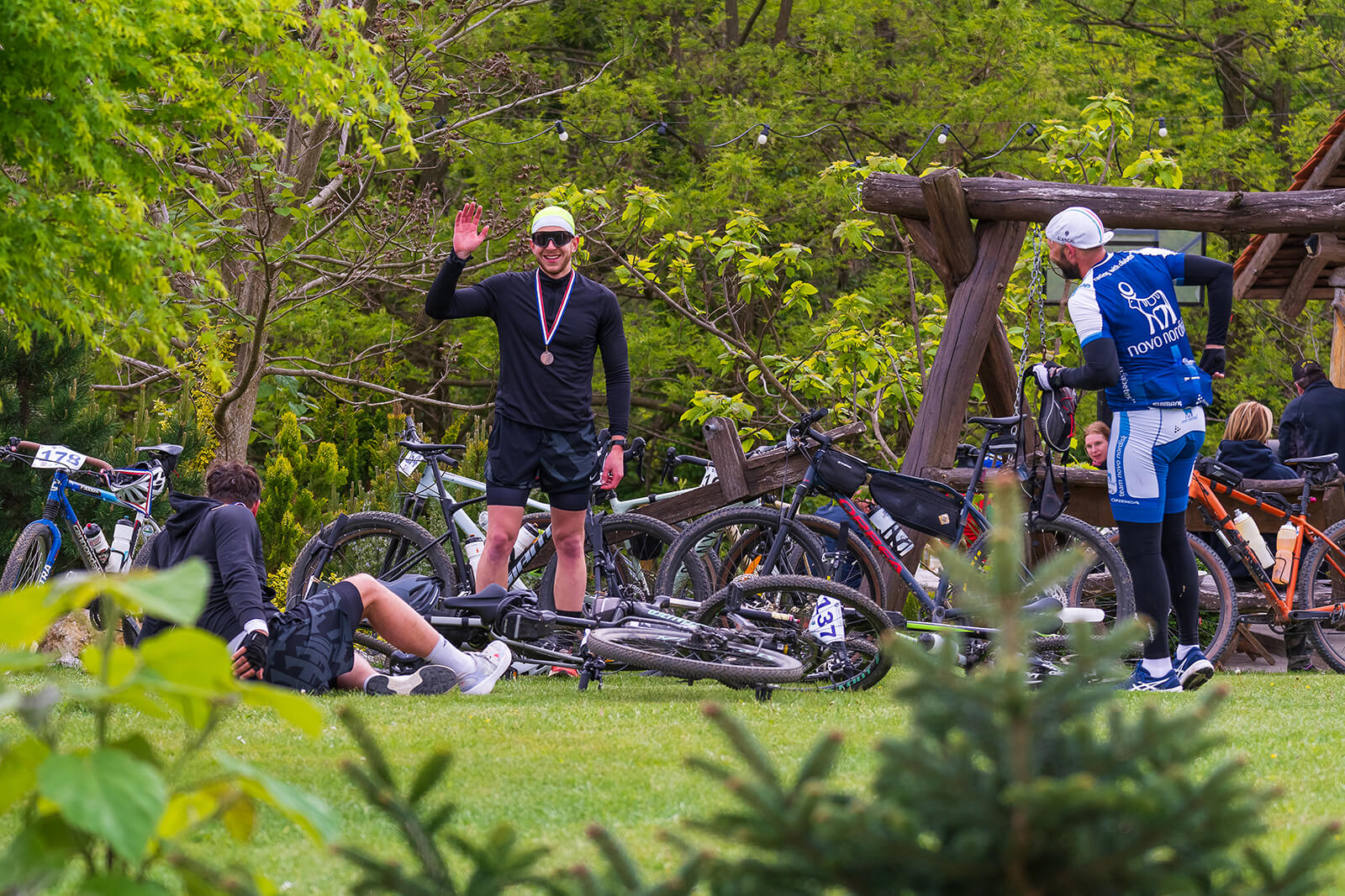
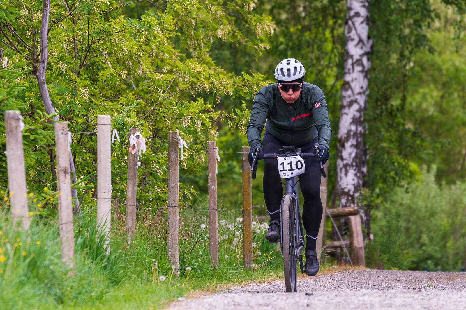
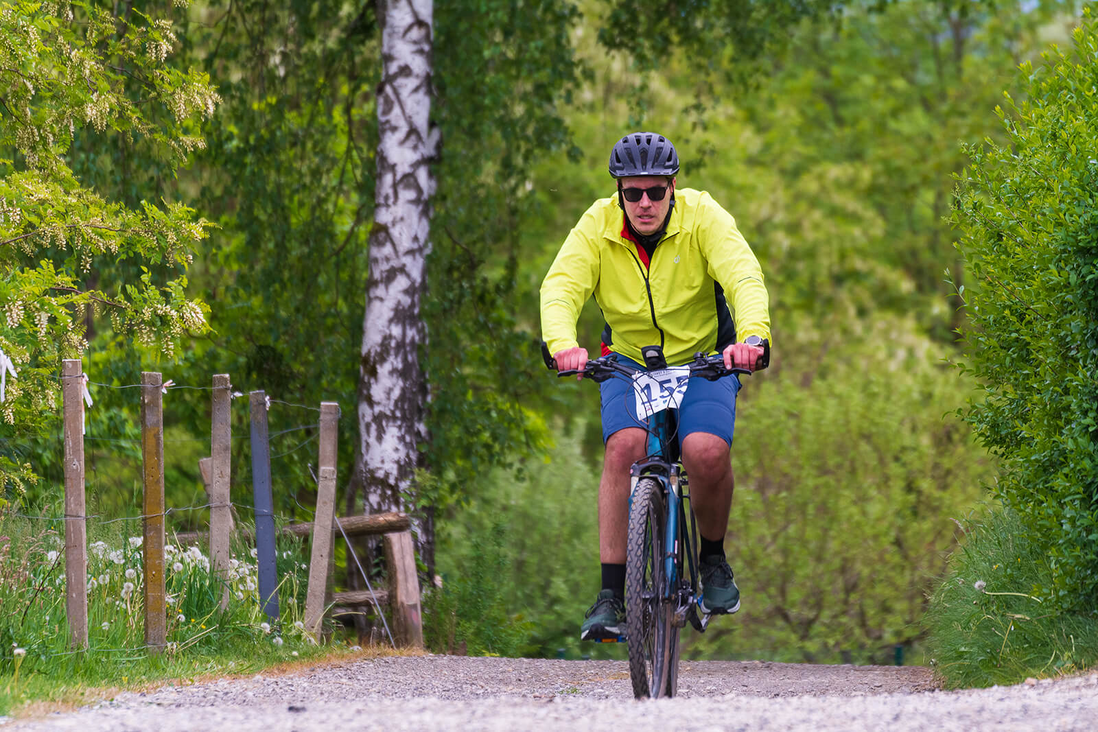
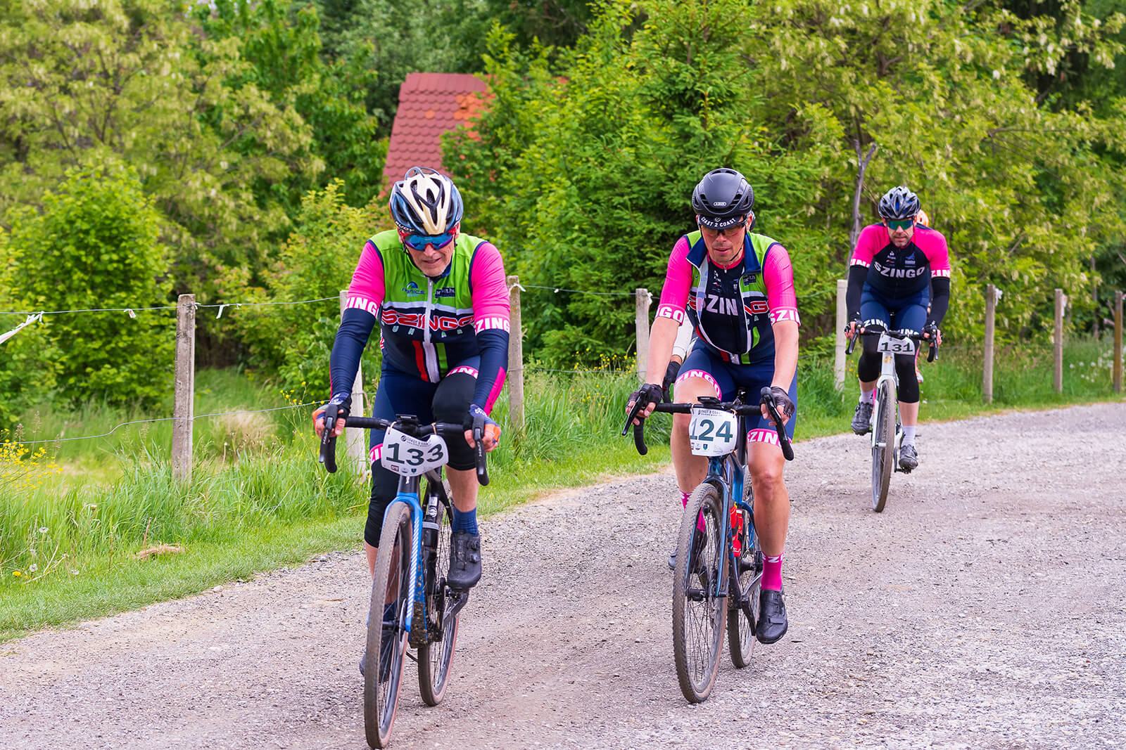
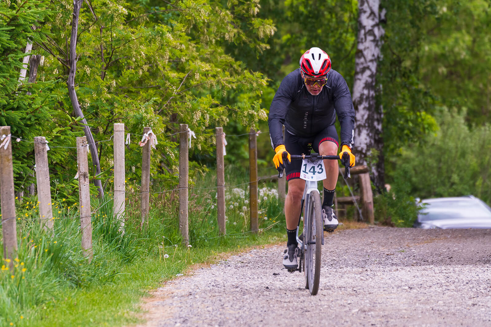
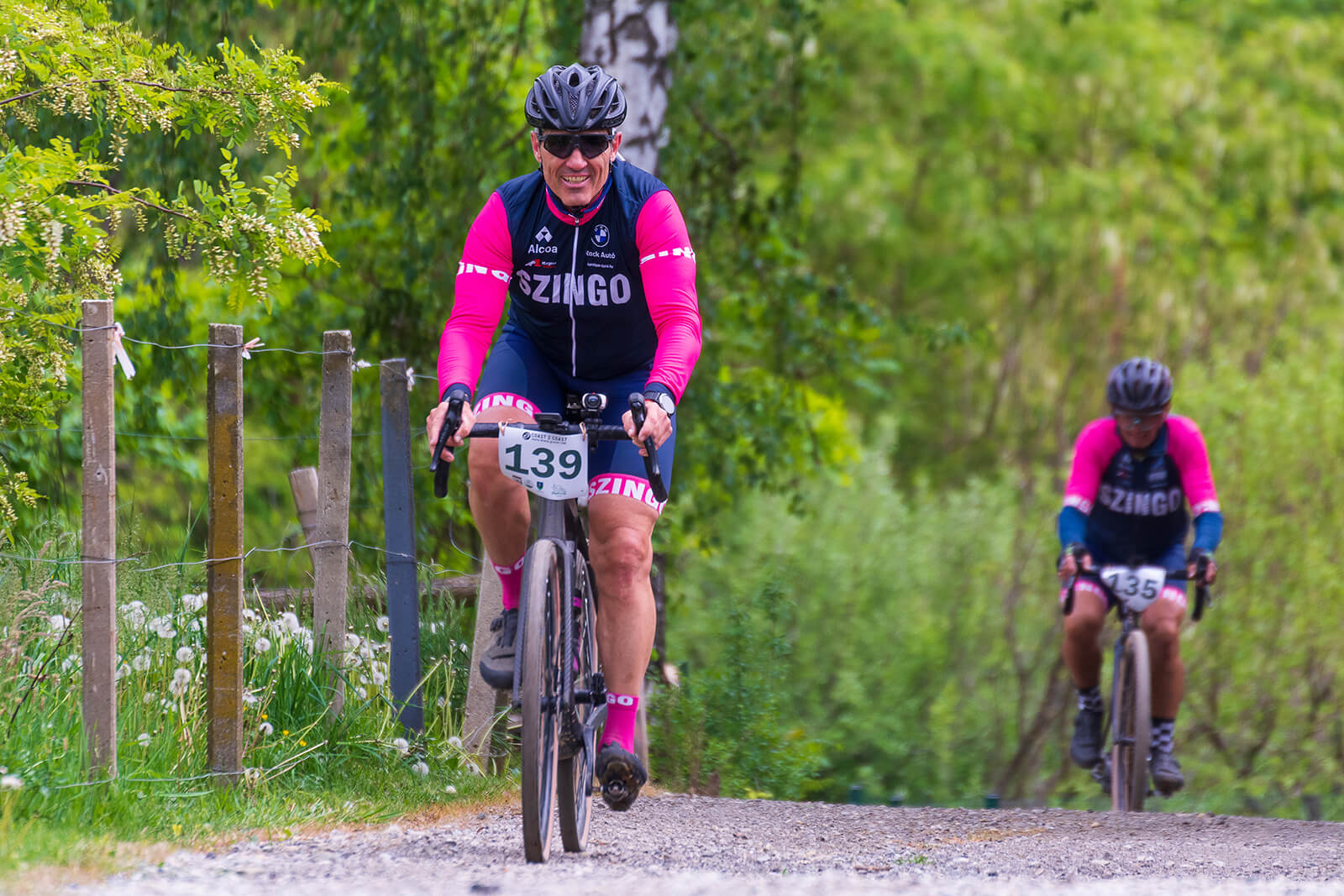
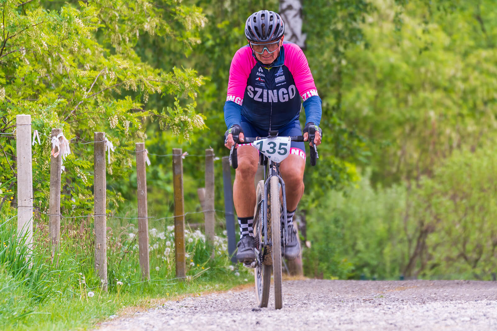
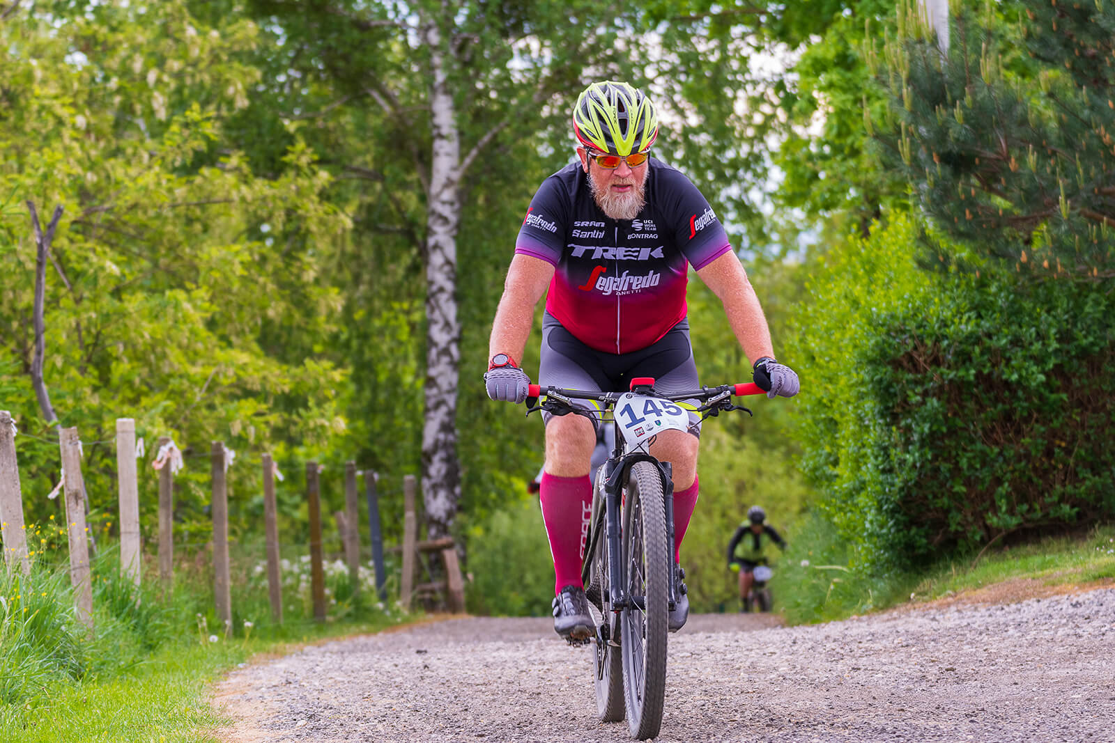
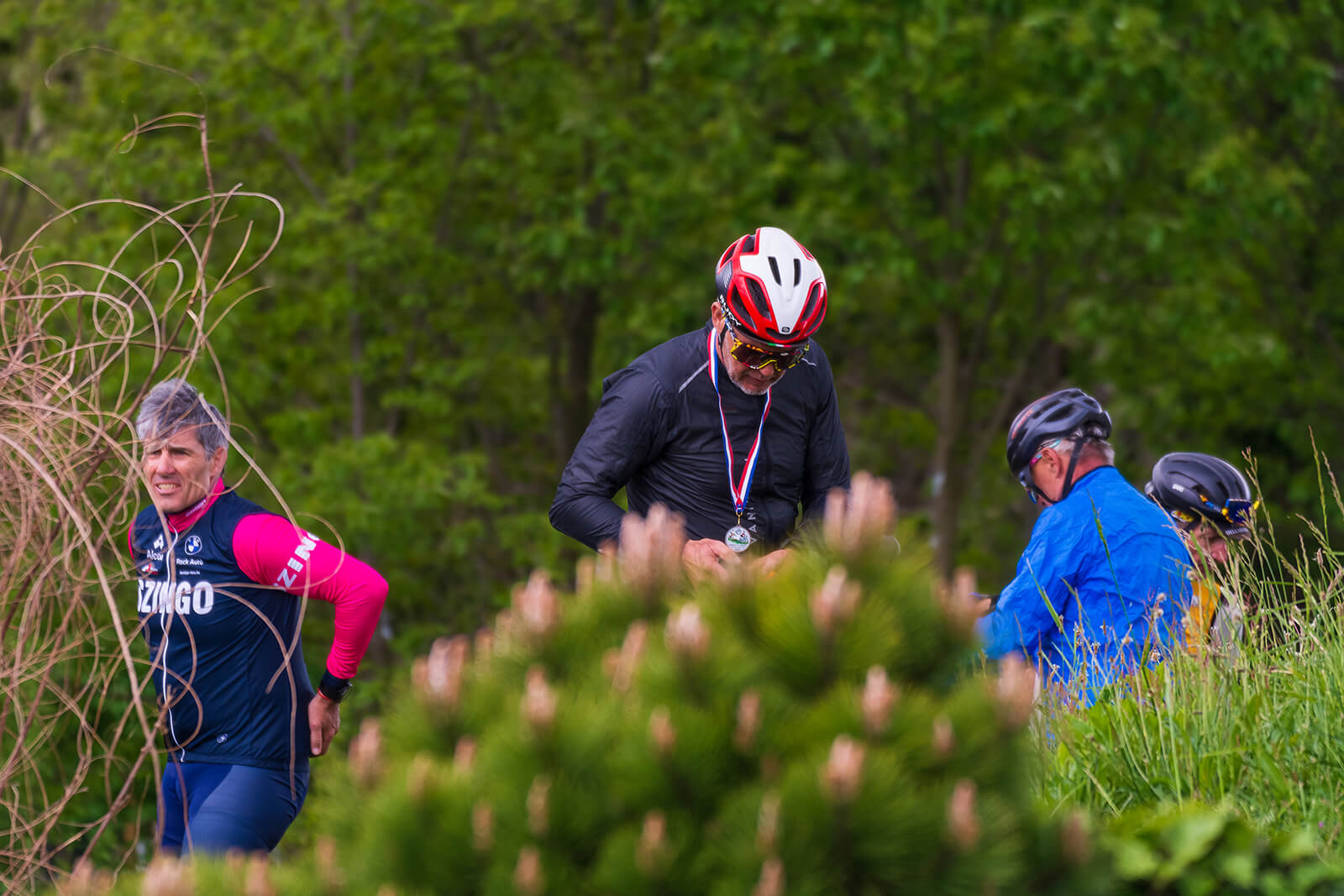
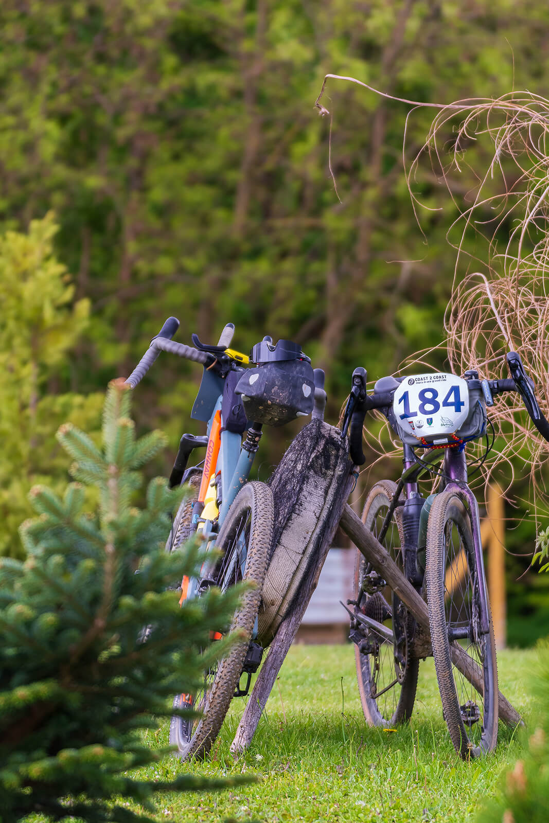
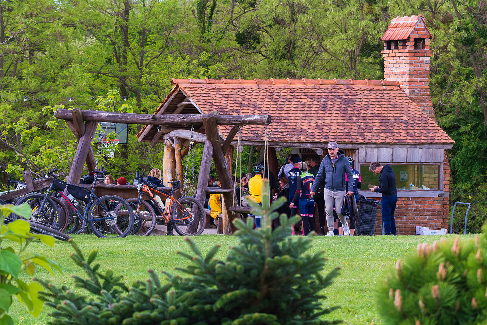
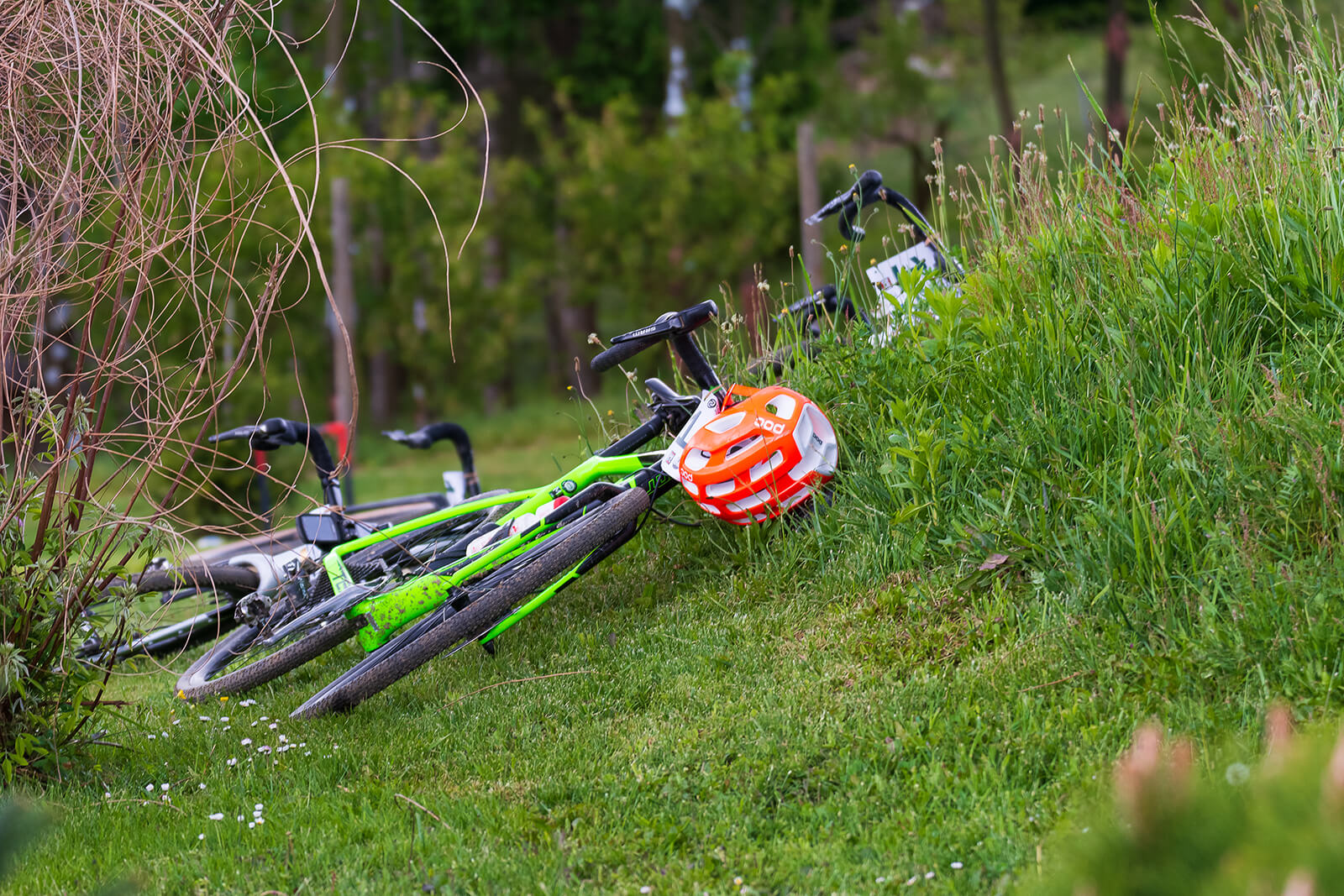
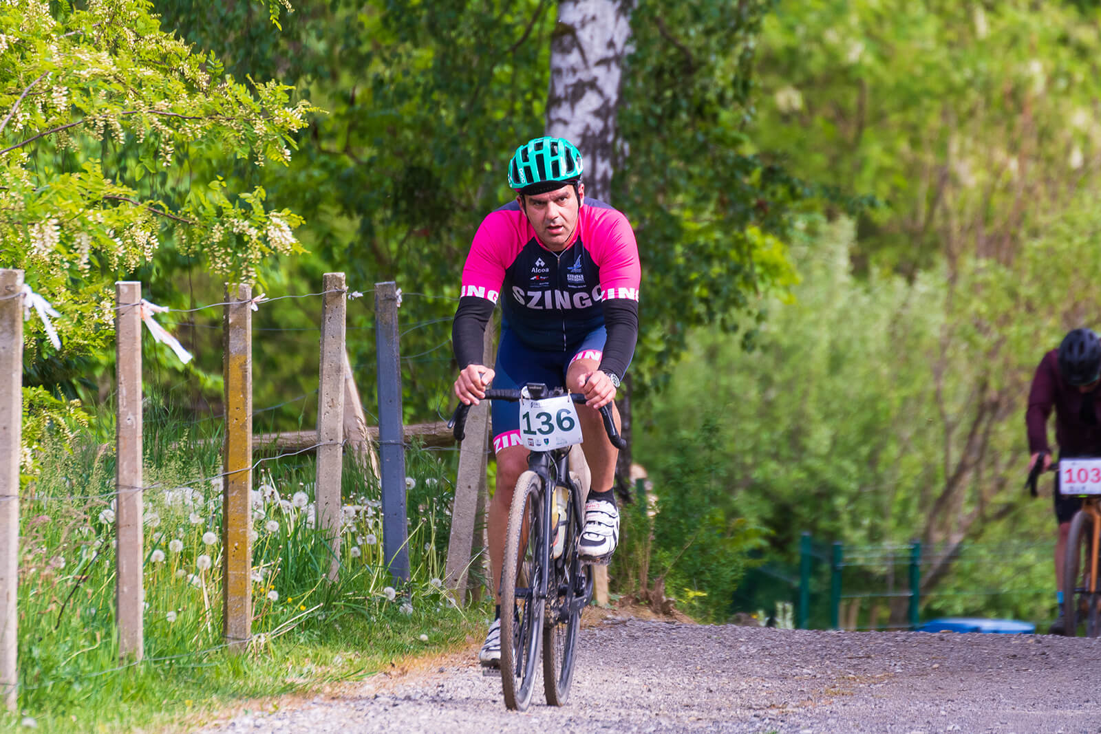
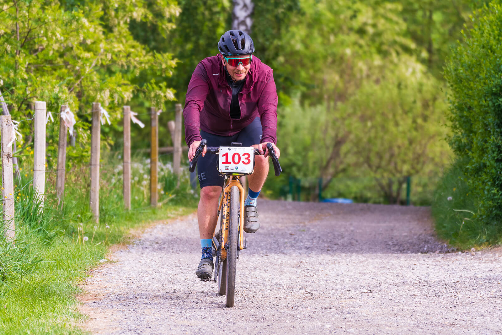
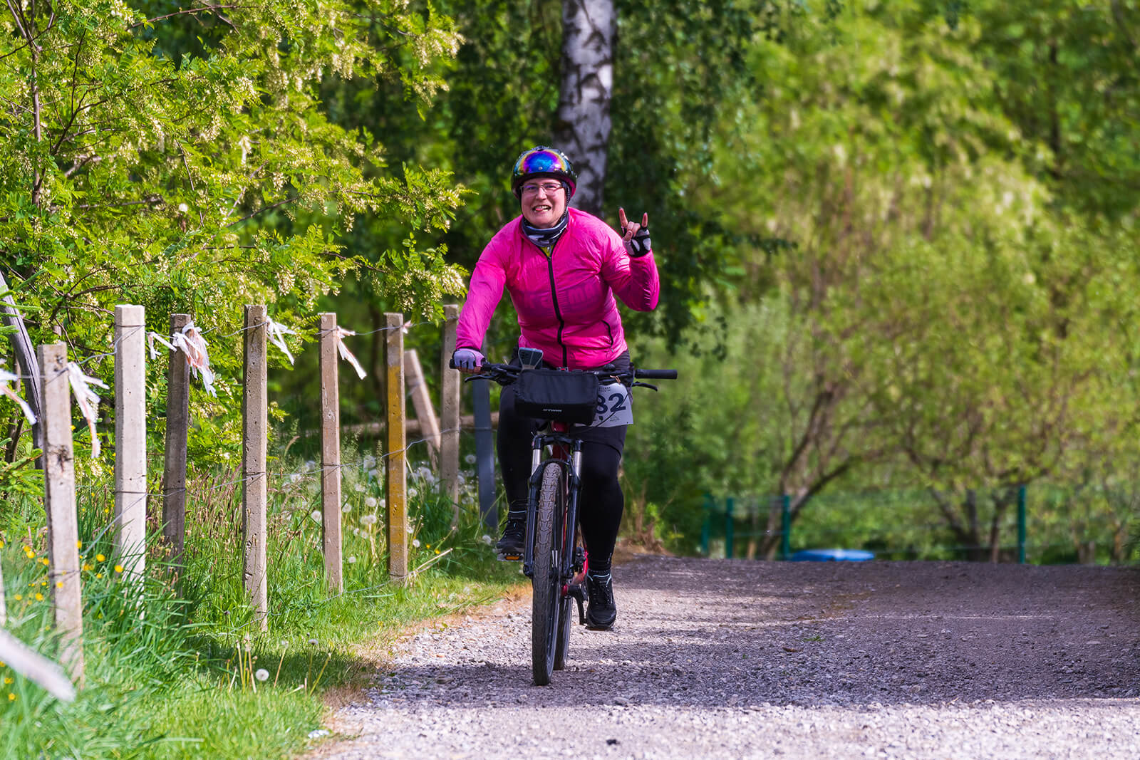
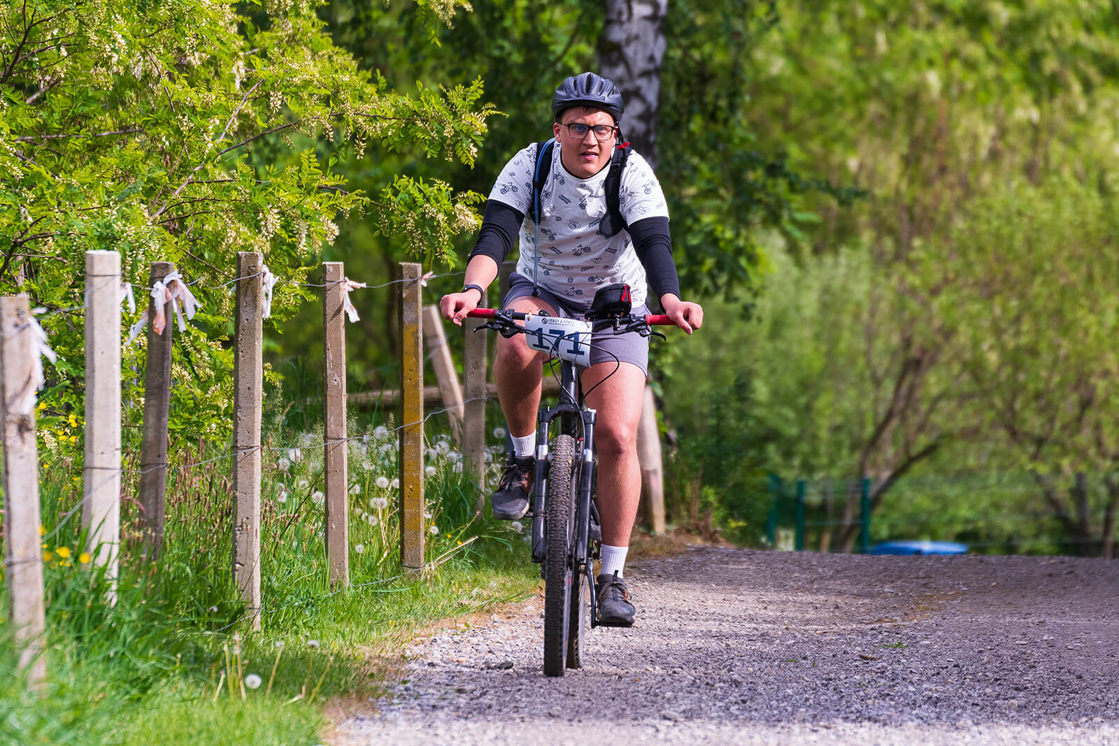
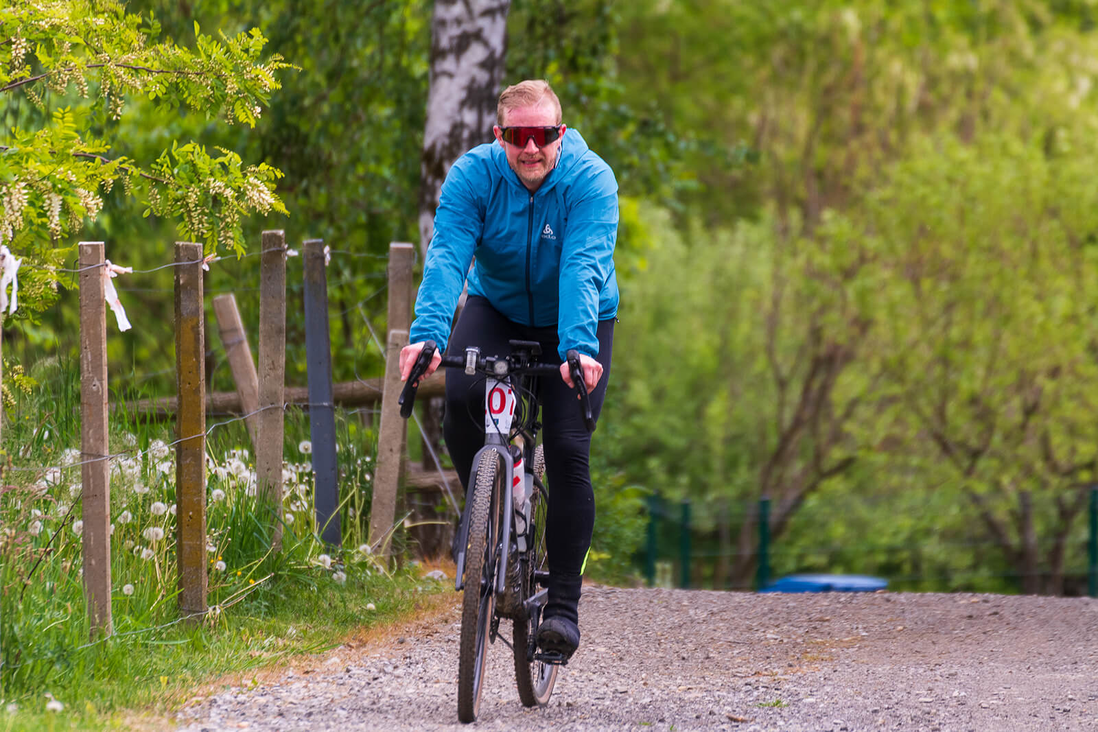
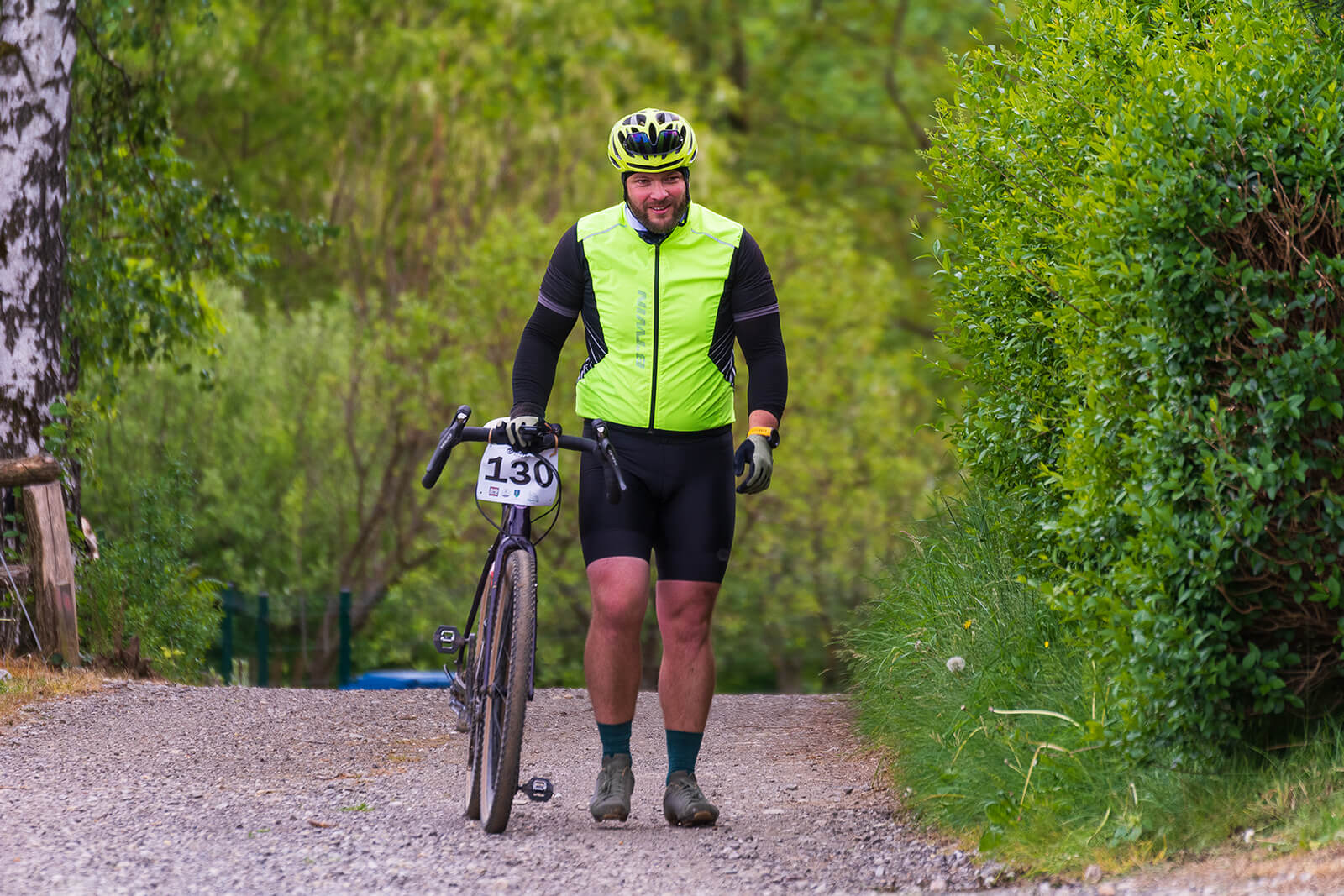
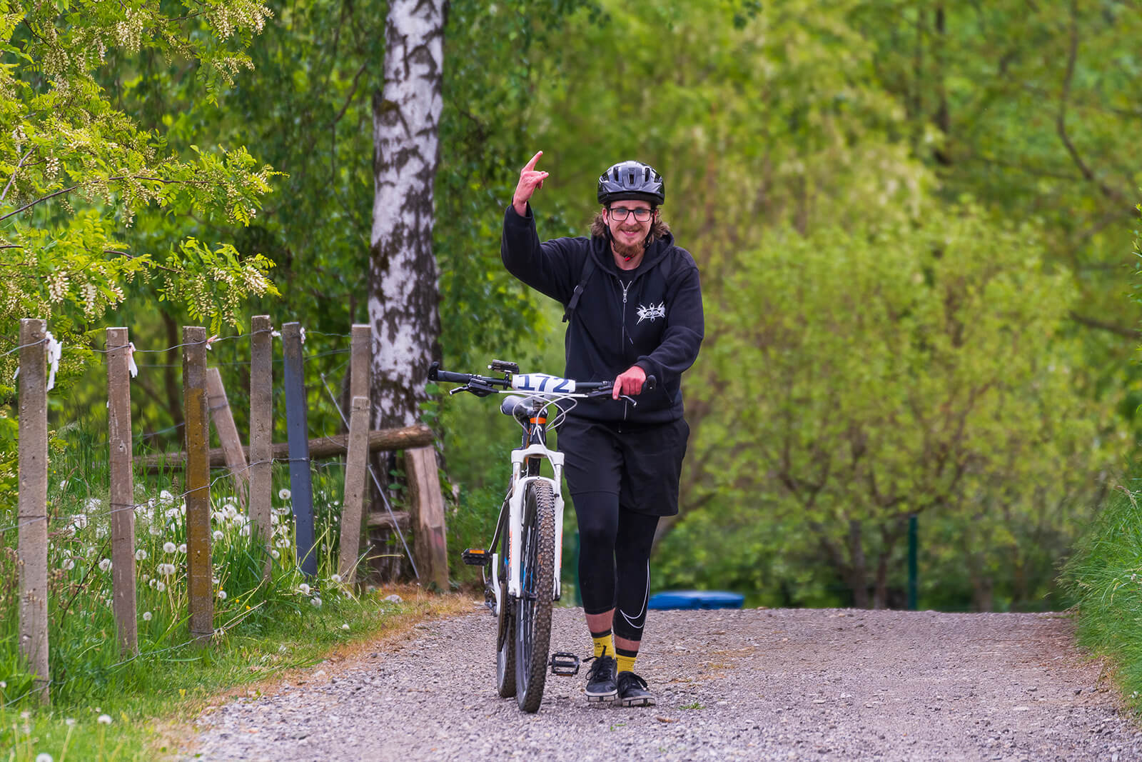
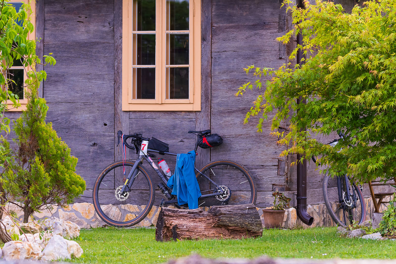
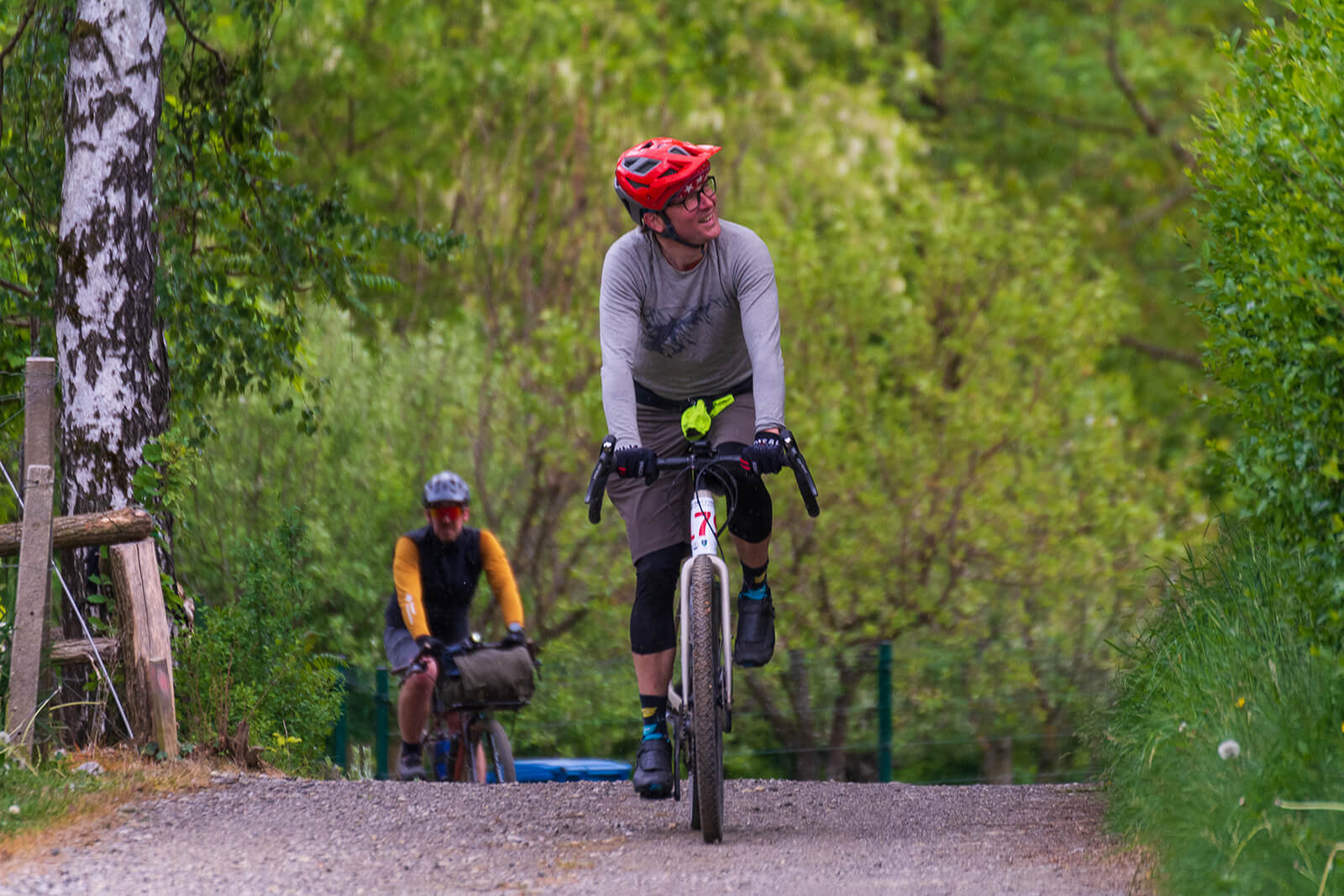
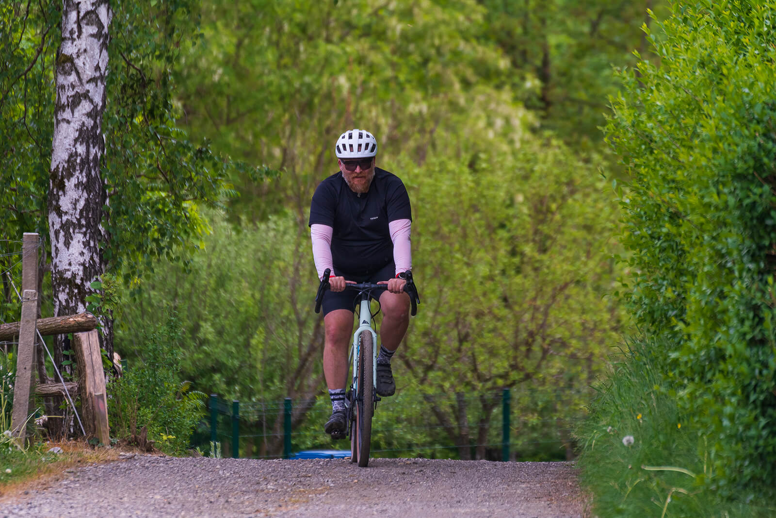
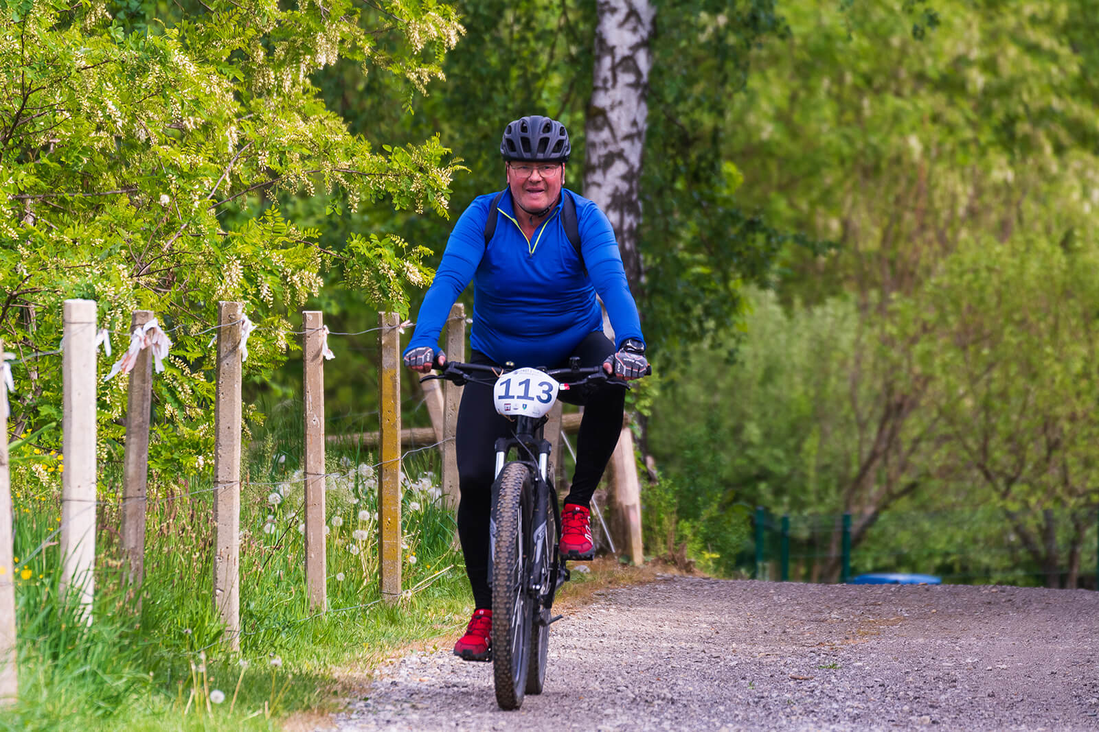
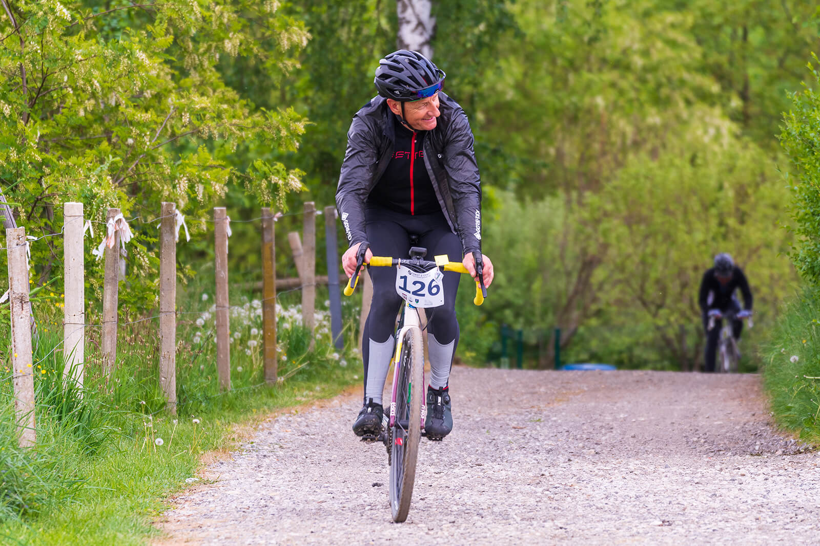
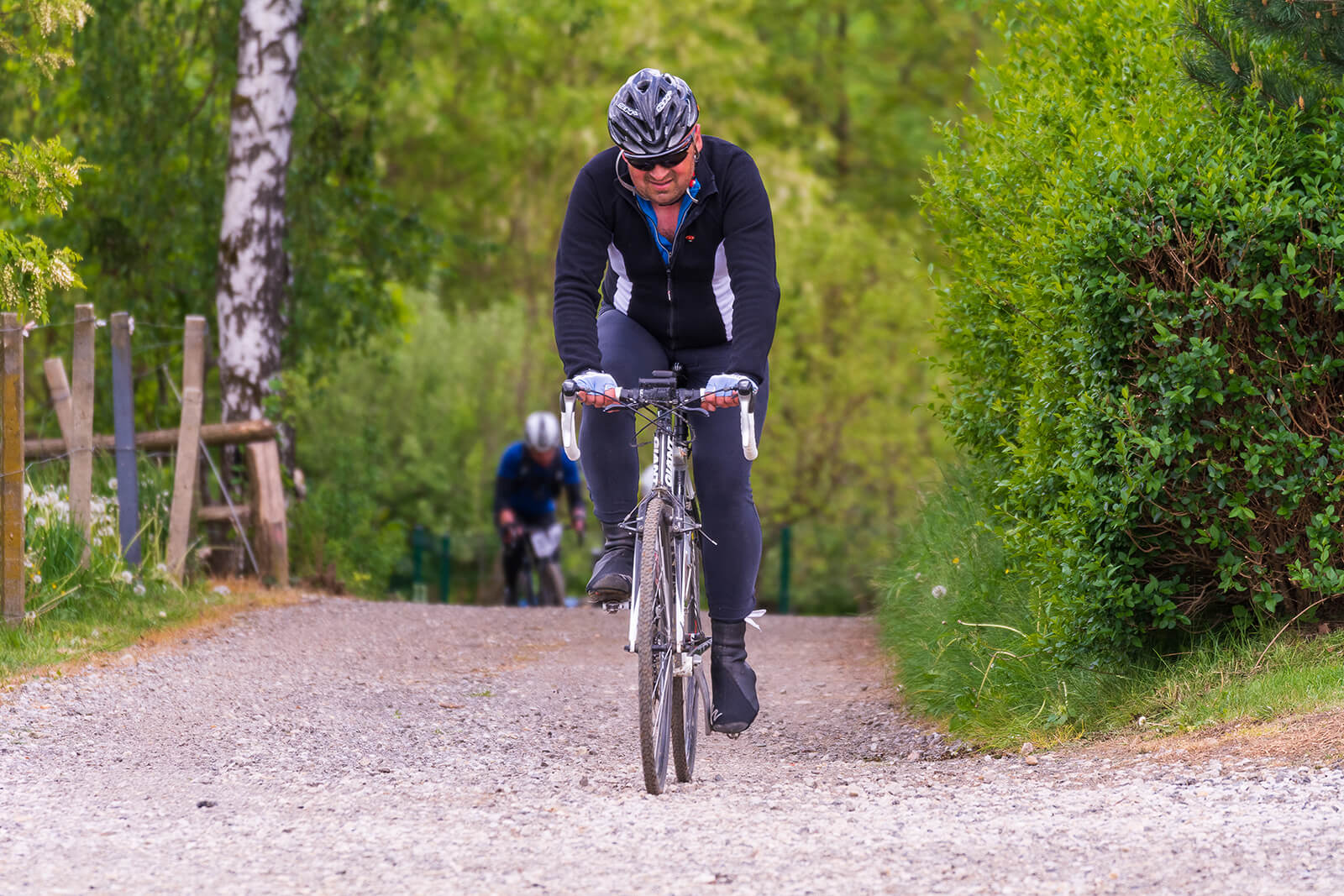
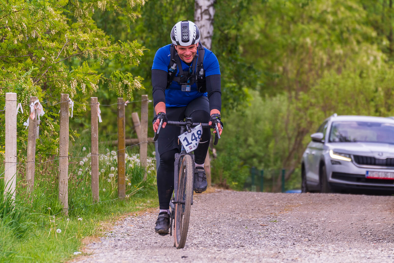
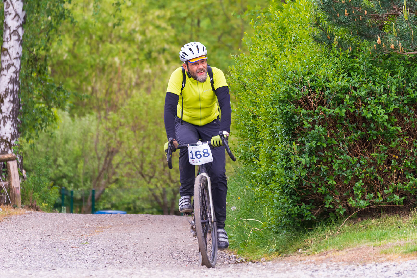
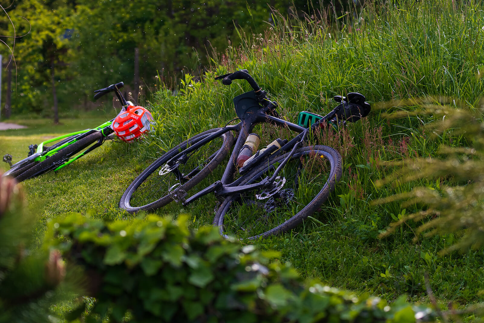
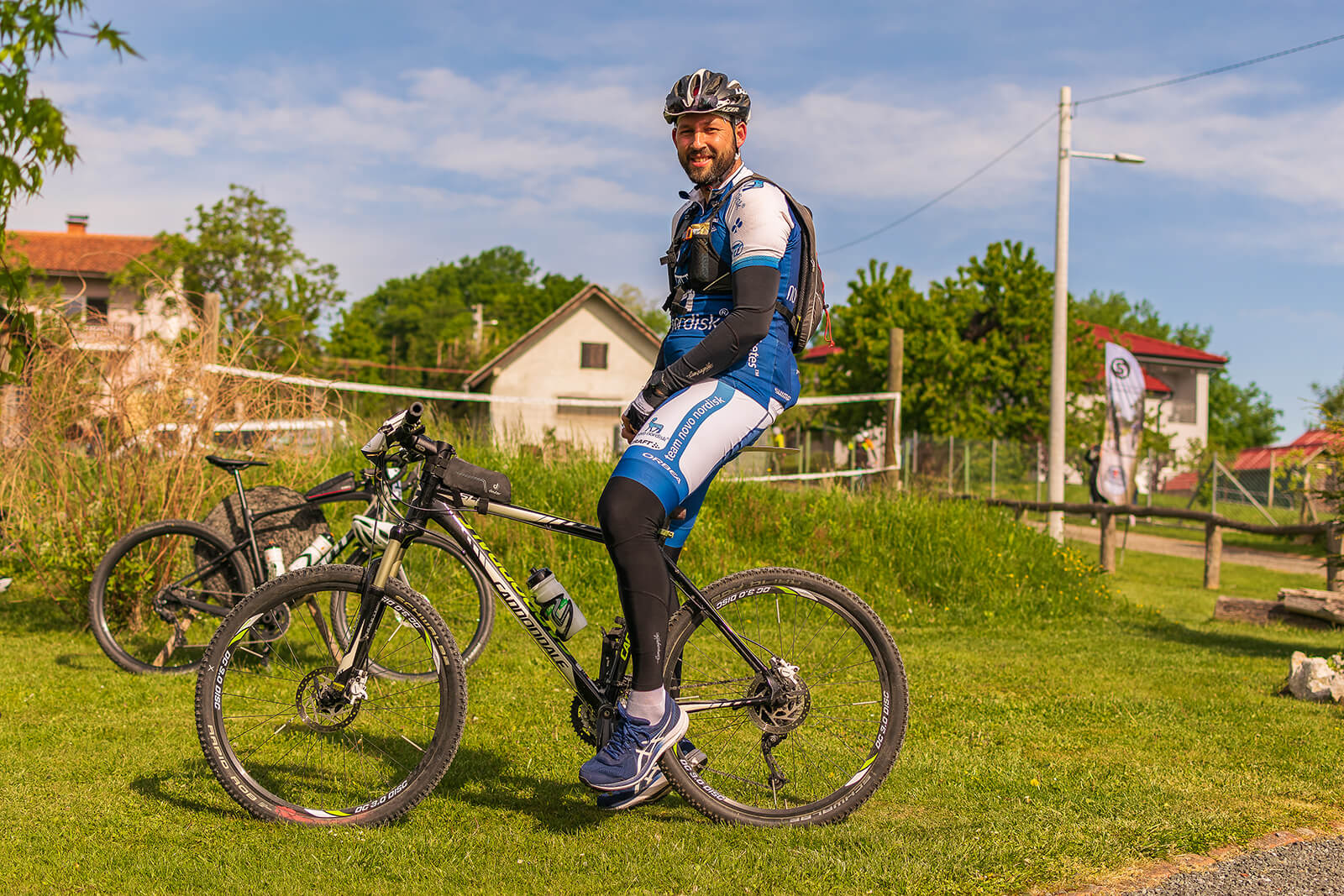
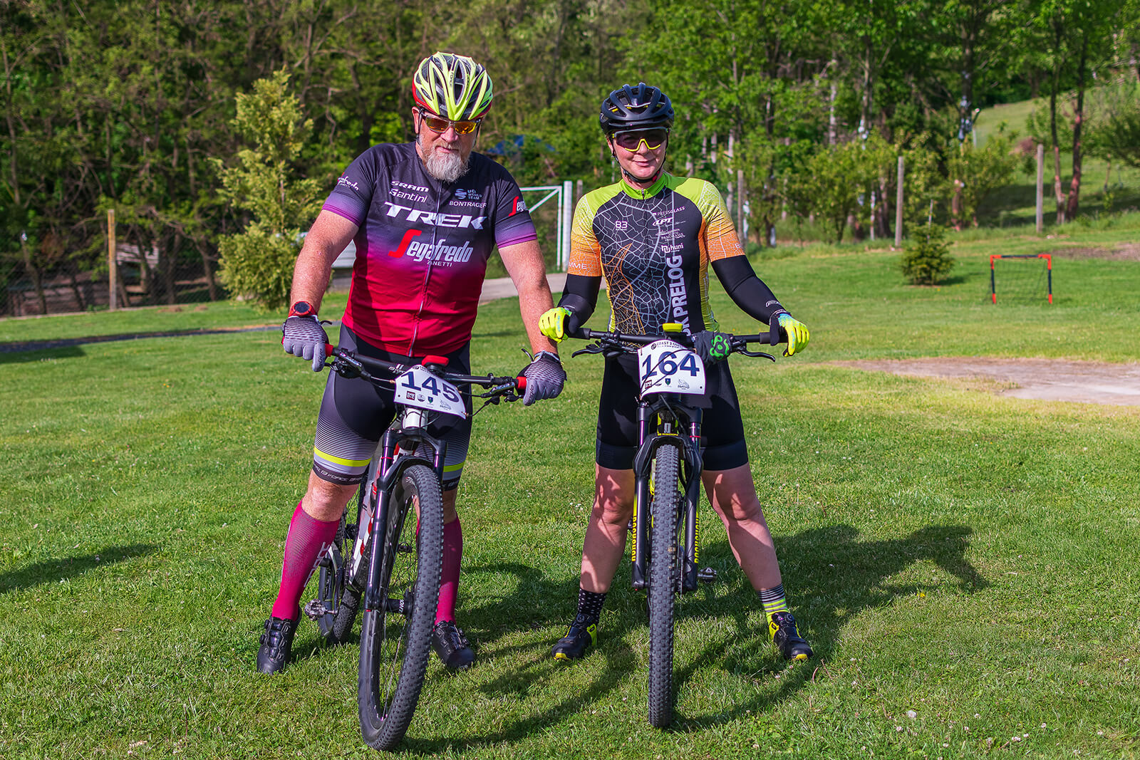
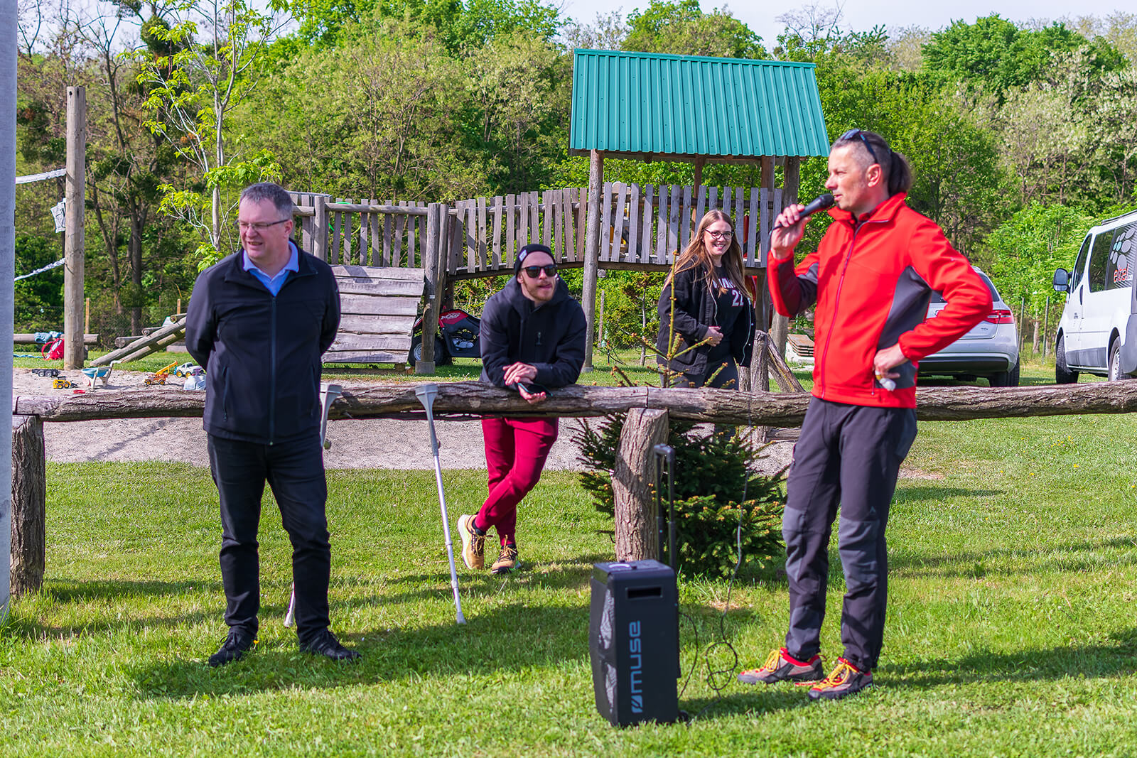
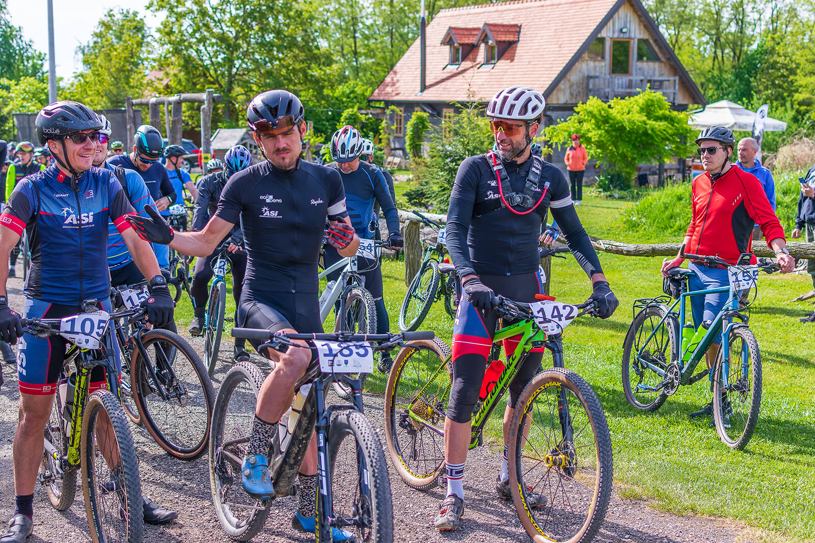
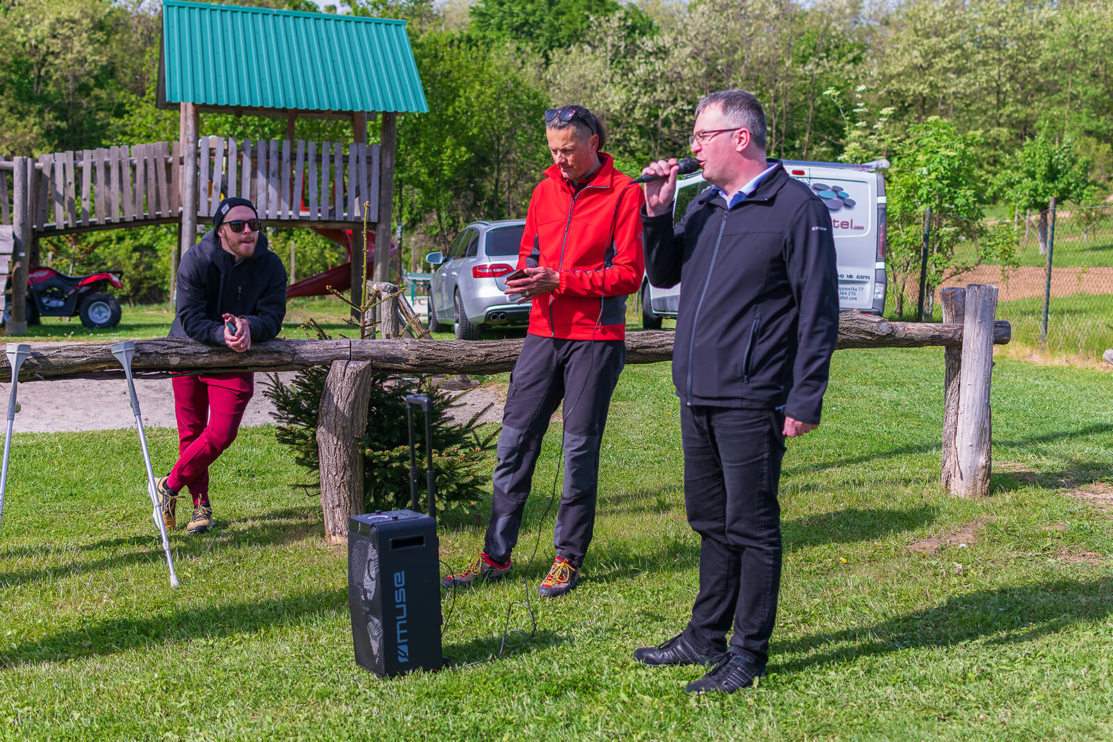
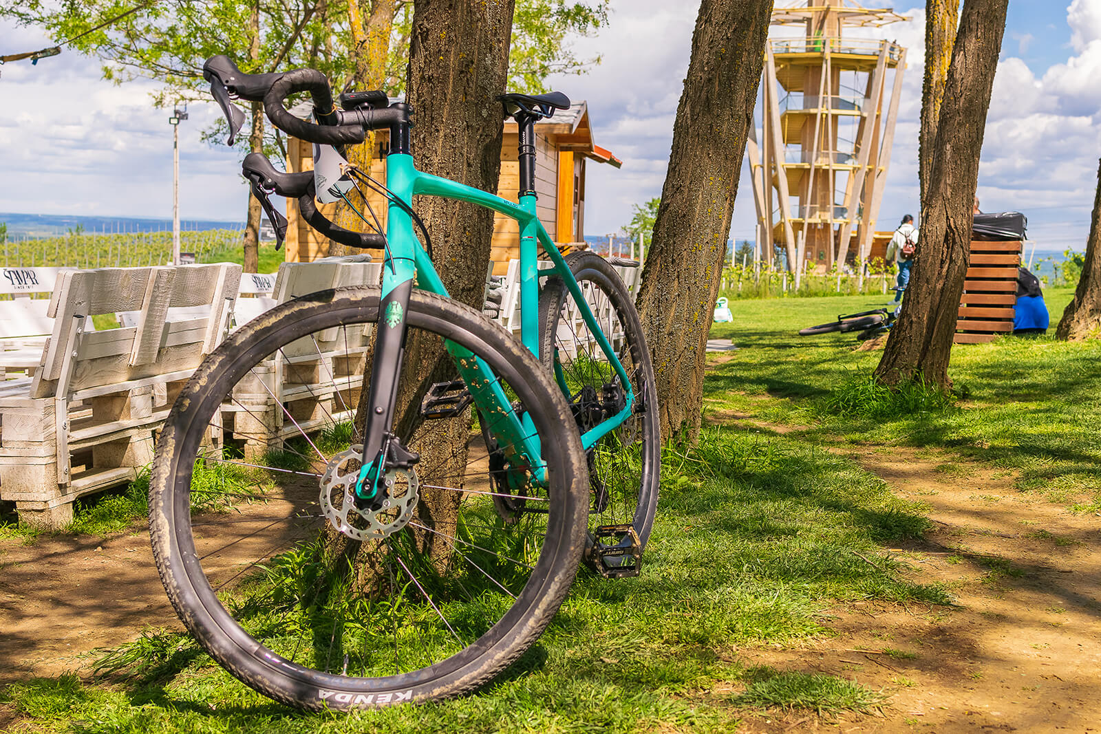
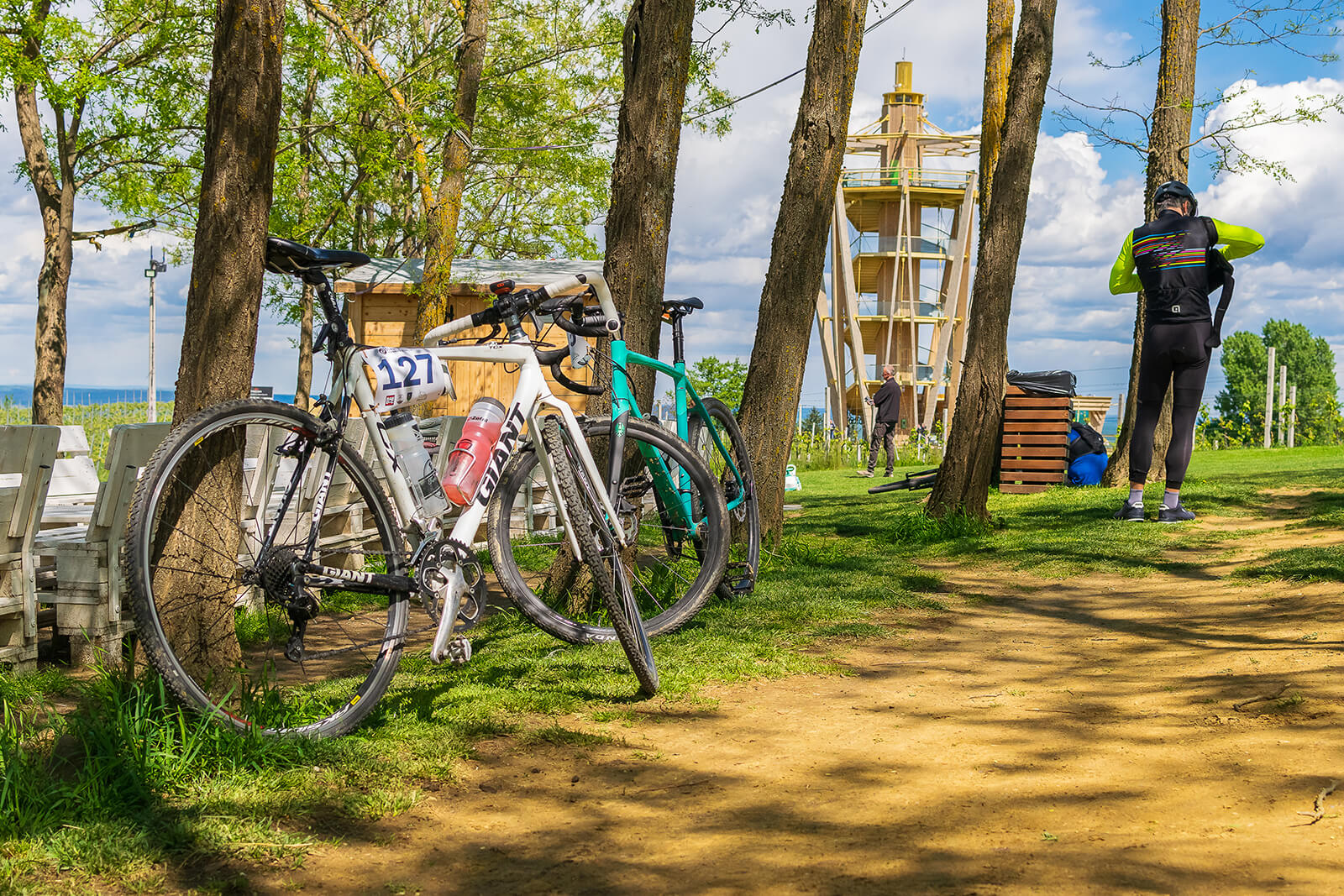
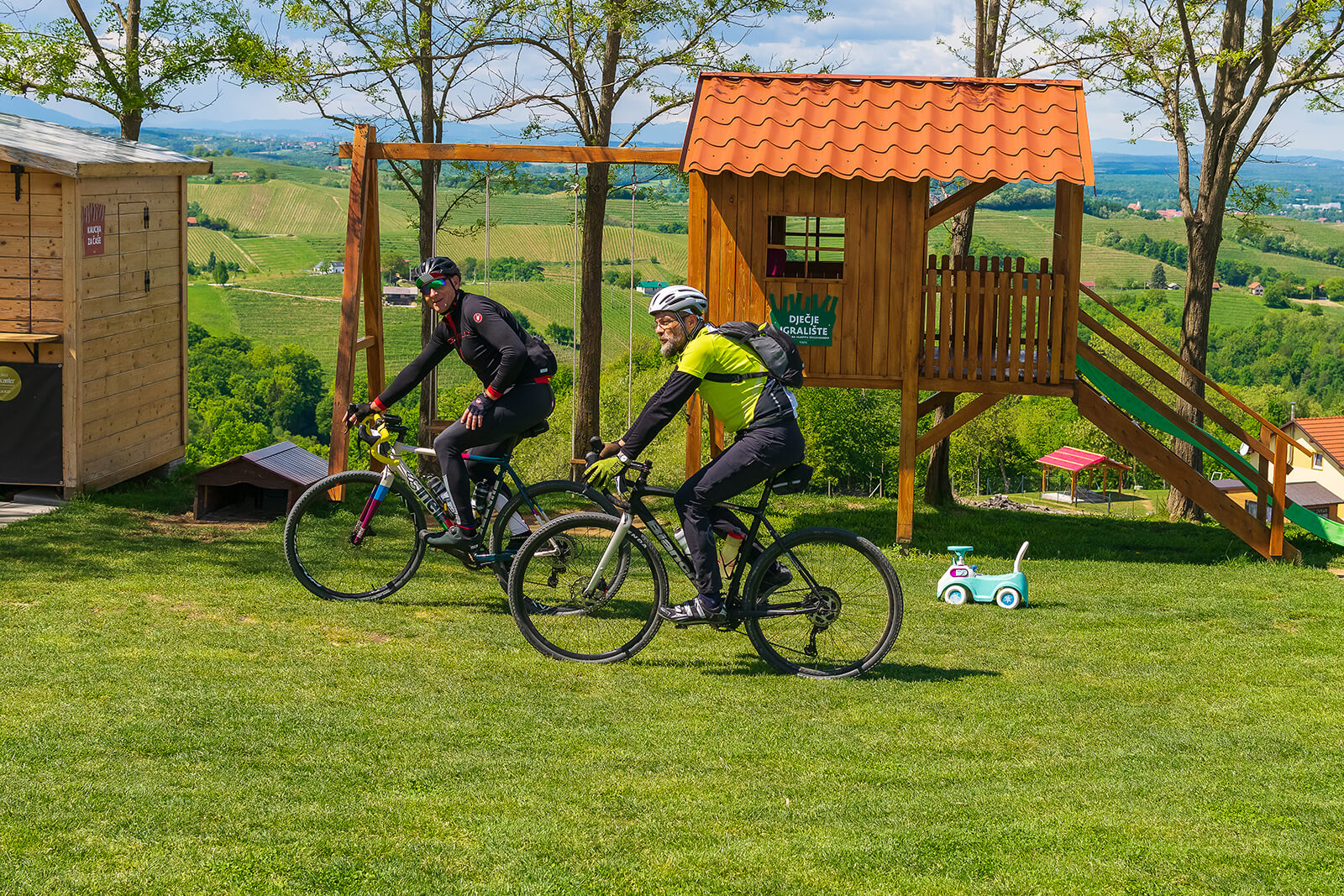
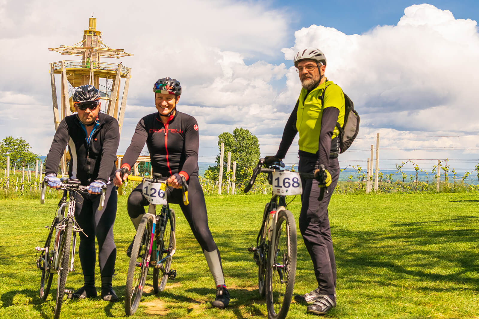
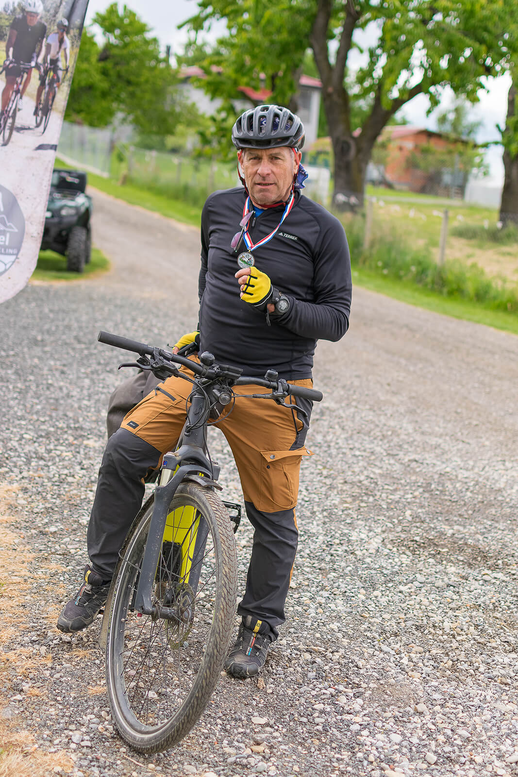
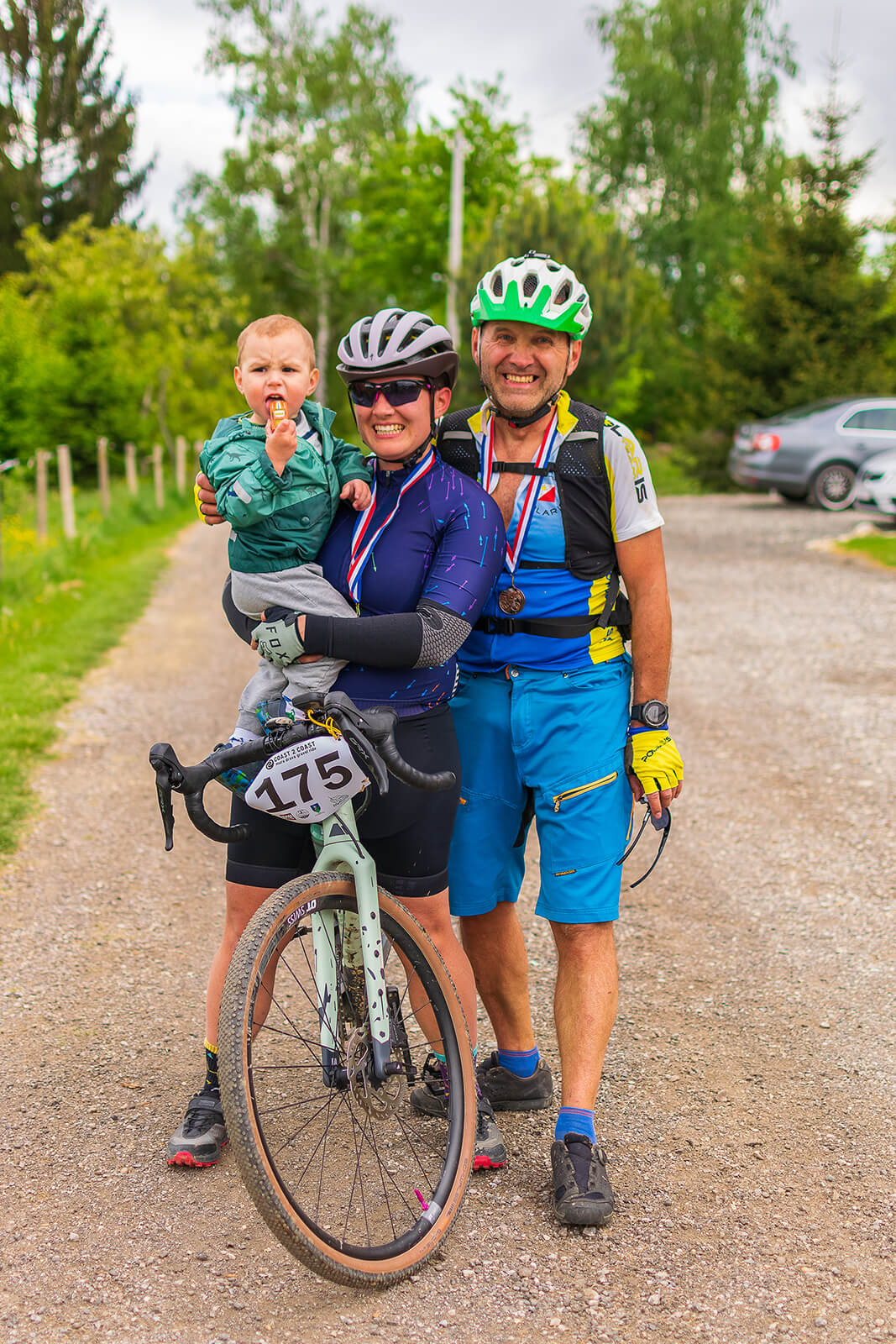
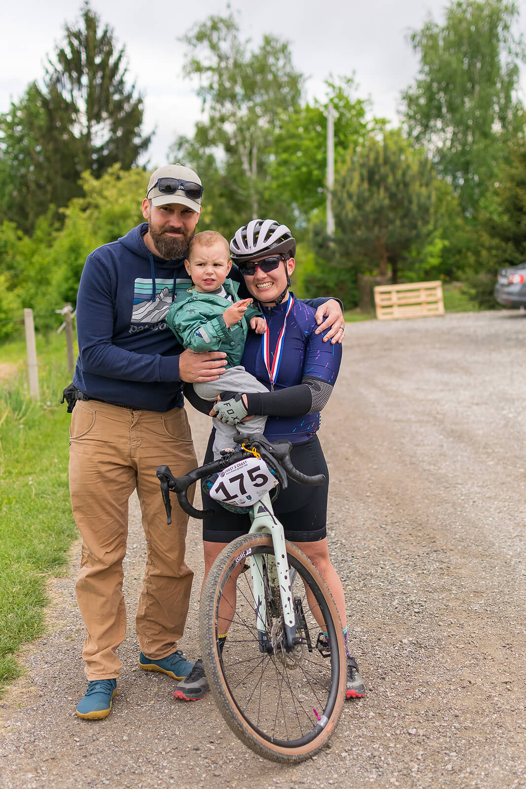
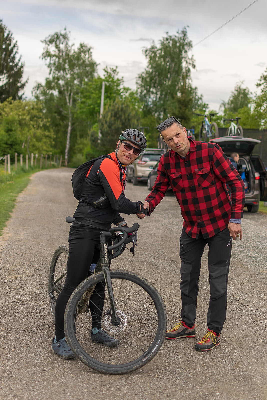
Picture gallery


ORDINANCE
- The organizer of Coast to coast gravel is the company RAM DC d.o.o.
- The meeting place and start of the gravel marathon is at the Ranch Curek, Pleškovec, 40311 Lopatinec (HR).
- By registering for the C2C Gravel marathon, the participant confirms that he is familiar with and fully agrees with the below-mentioned provisions of the Terms of Use and Rules of the C2C gravel event.
- By applying, paying the entry fee and registering for C2C gravel, the participant acquires the right to perform at the C2C gravel event, which will be held on April 20th, 2024 in Međimurje County. Without the above, it is not allowed to perform or ride together with registered participants.
- The entire C2C gravel event is of a voluntary and recreational nature and the right to register is open to all persons over the age of 18.
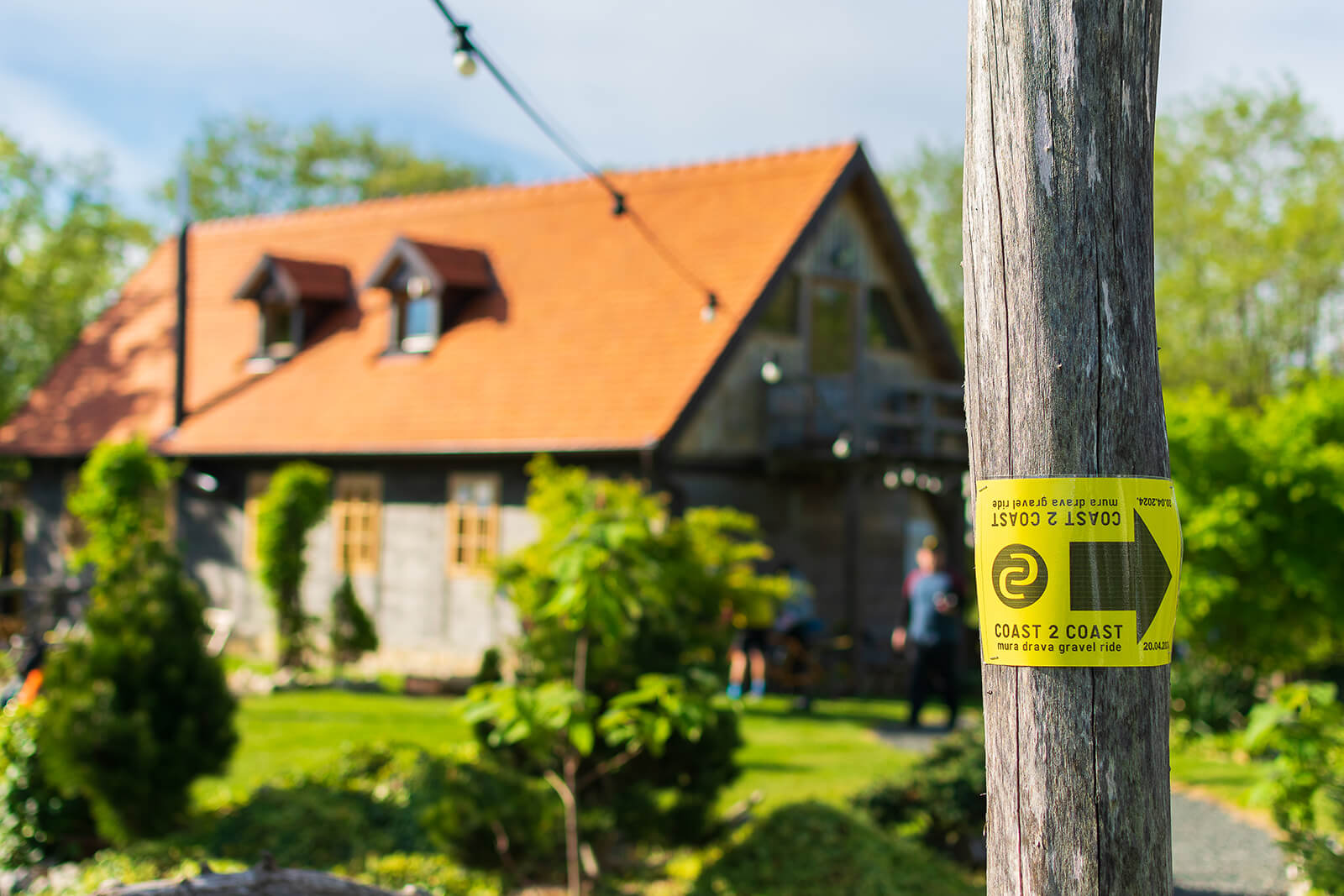
- The C2C marathon course is NOT marked with signposts. Each participant has a gpx file of the route available for download via the web.
- It is mandatory to drive along the given route.
- The track is not closed to traffic and it is necessary to follow ZoSPC traffic regulations and the instructions of stewards or volunteers.
- Registration is personal and can not be transferred to other persons.
- The C2C gravel marathon is time-limited to 7 hours for the sake of the organization, and upon expiry of the maximum estimated driving time, all rights and benefits that the participant could have used along the route during the ride cease to be valid.
- The organizer reserves the right to deny the right to start the race to all participants who have purchased an entry fee and have not registered at the scheduled time for registration, without the obligation to return the paid entry fee at the time of registration.
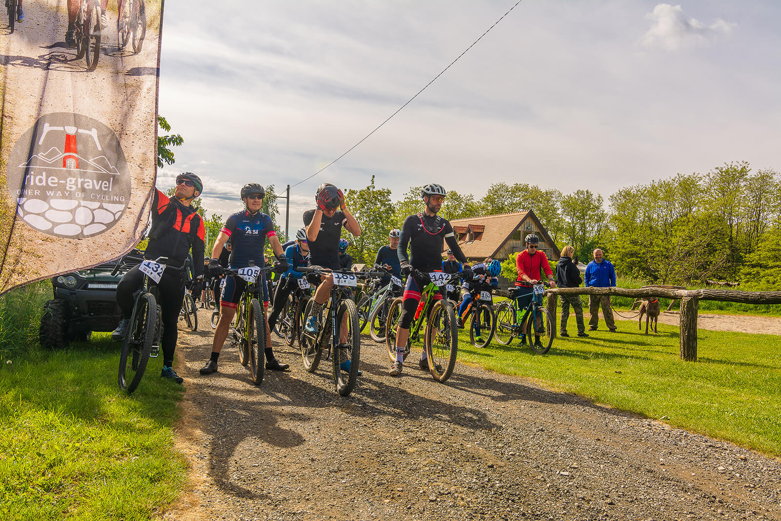
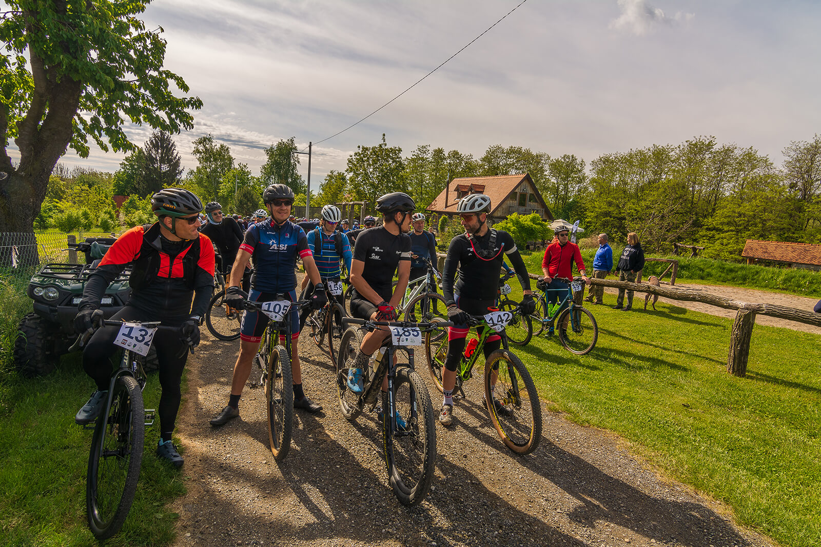
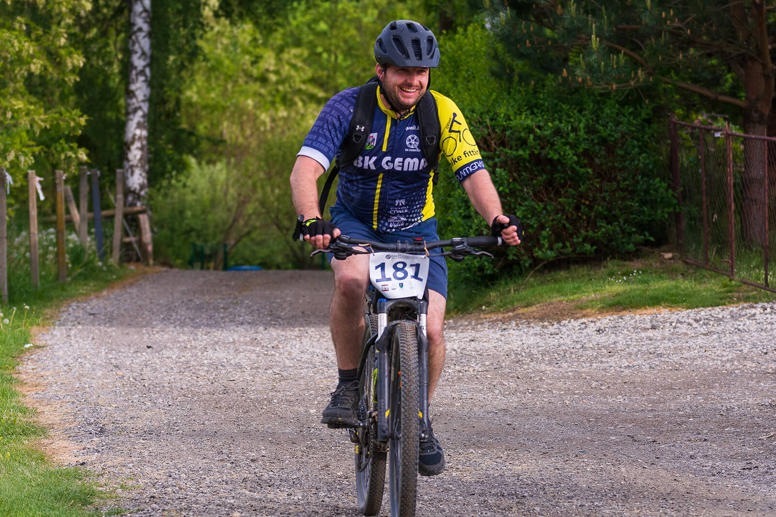
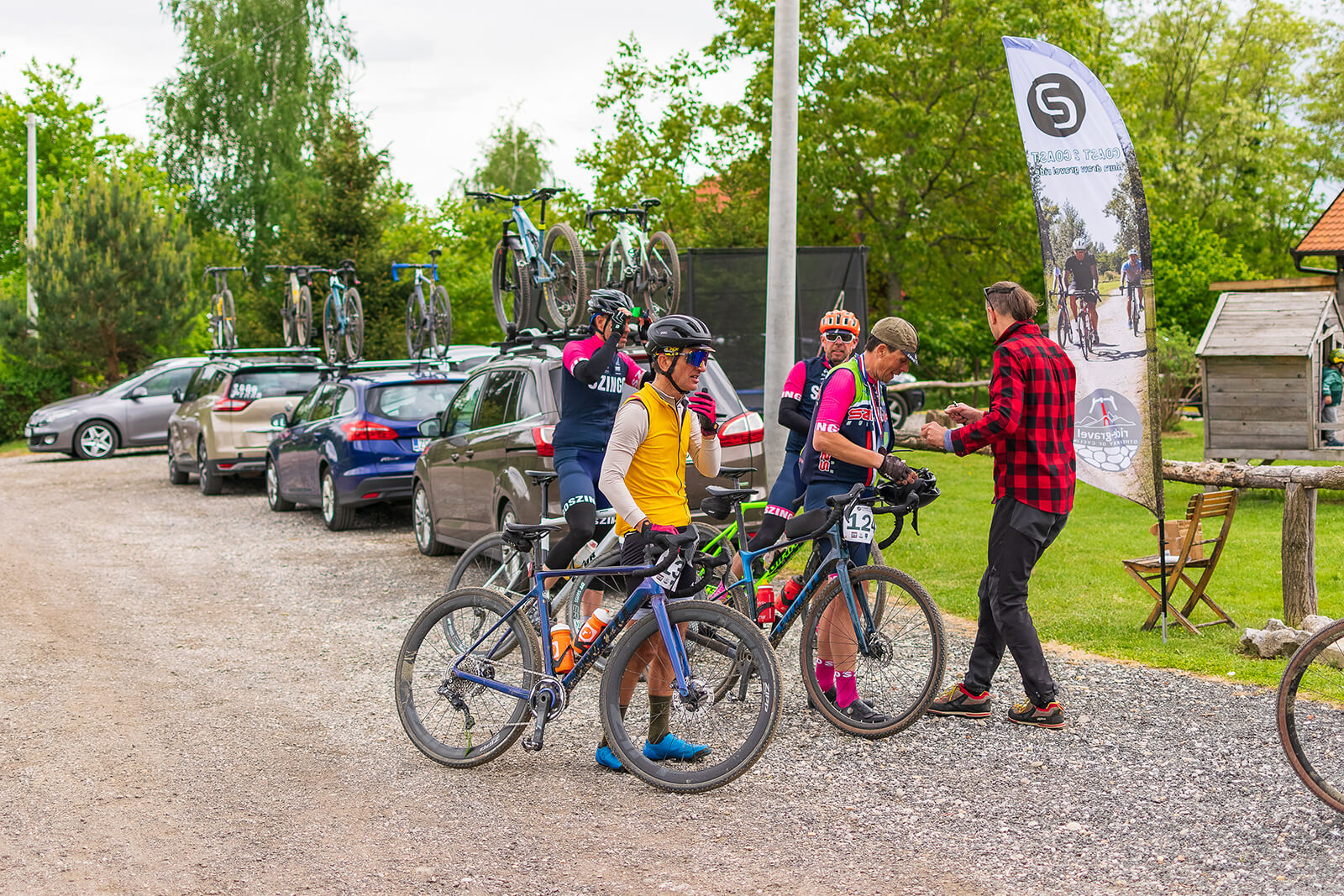
SCHEDULE – April 20th, 2024.
- Saturday, April 20th, 2024. from 08:30 a.m. to 09:45 a.m. gathering, registration in the start list, breakfast, preparations for the marathon and photo shoot
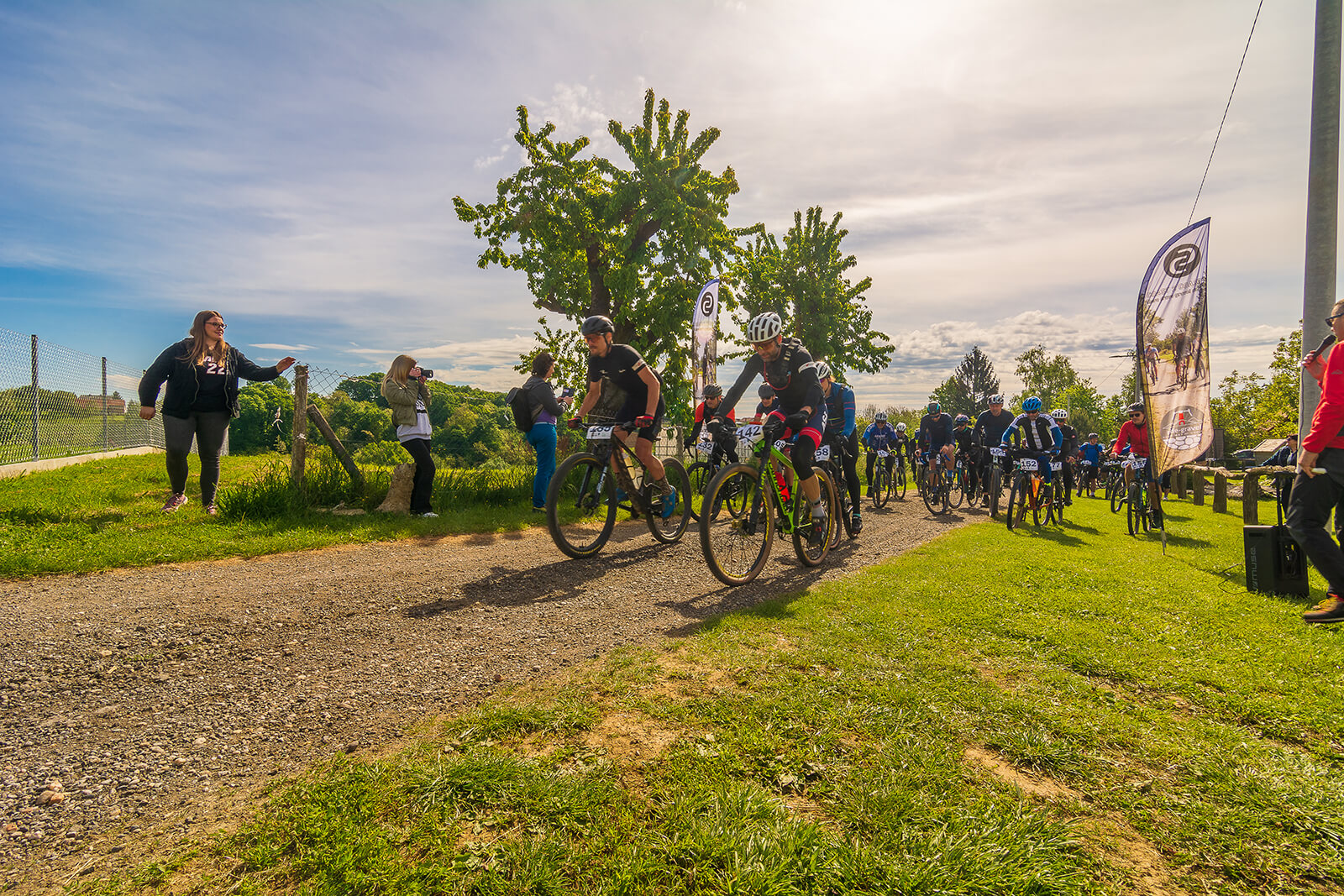
- 10:00 a.m. Start
- 10:00 a.m. – 5:00 p.m. Coast to Coast gravel marathon ride
- 1:00 p.m. – 5:00 p.m. arrival of participants at the finish line from both tracks
- 2:00 p.m. – 6:00 p.m. meal at the finish line and socializing
- 6:00 p.m. – end of the event
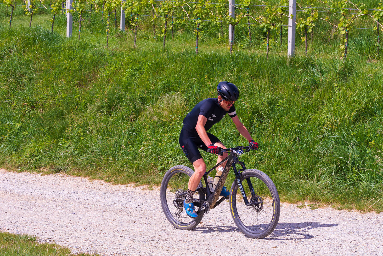
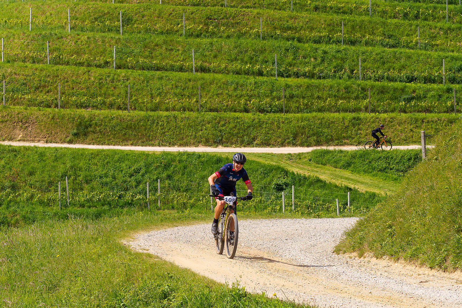
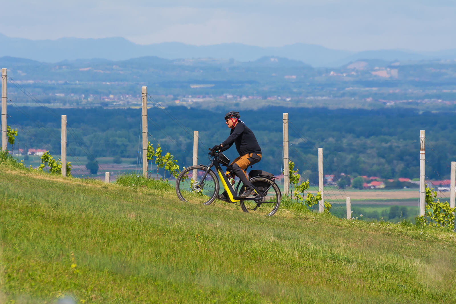
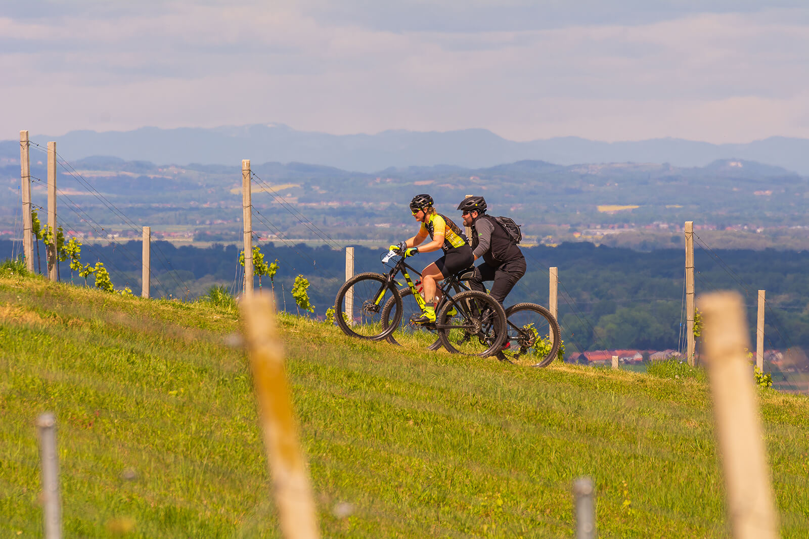
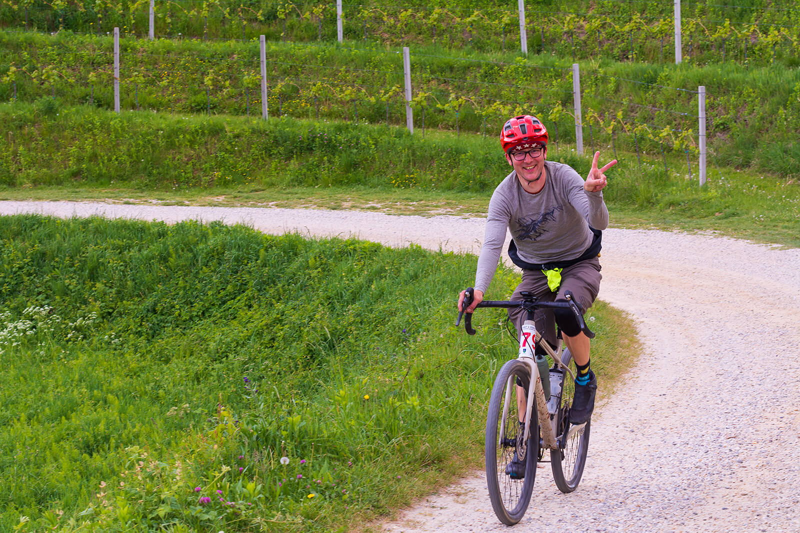
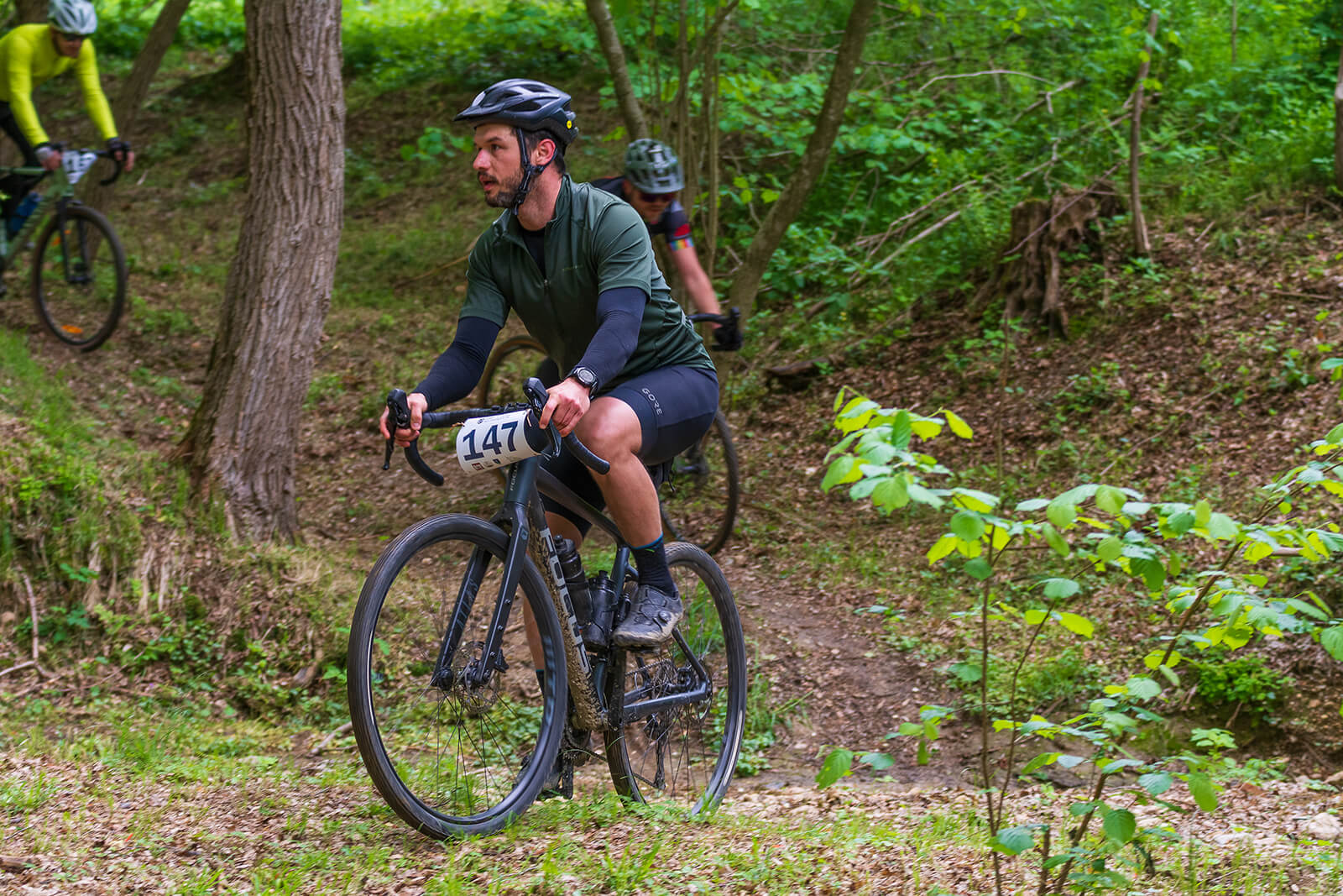
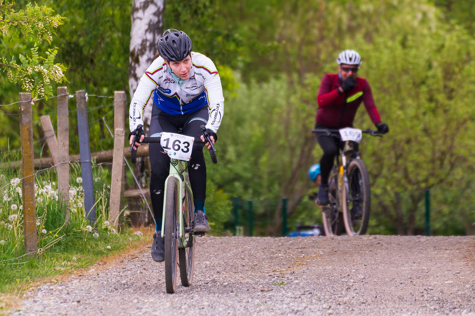
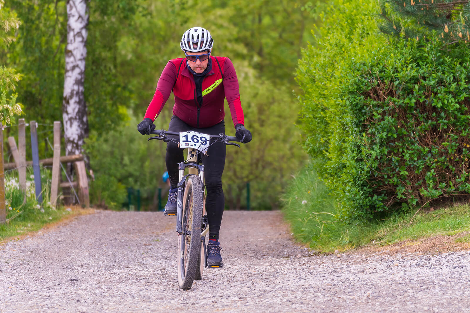
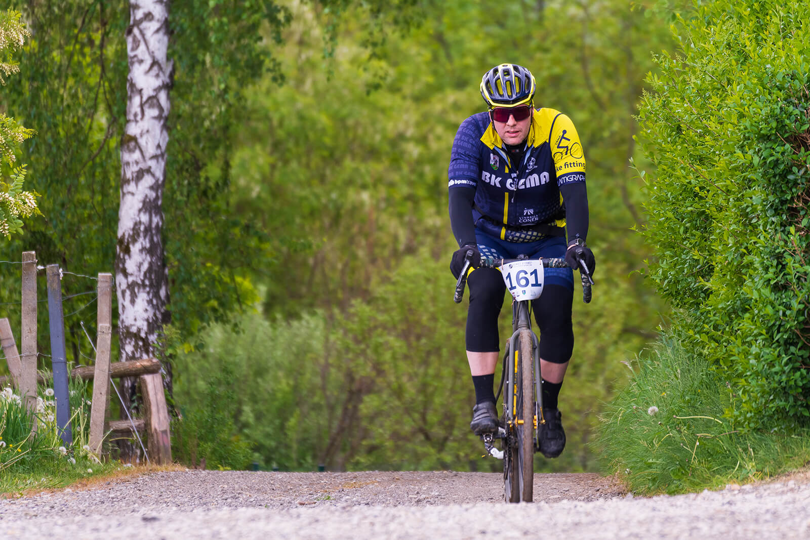
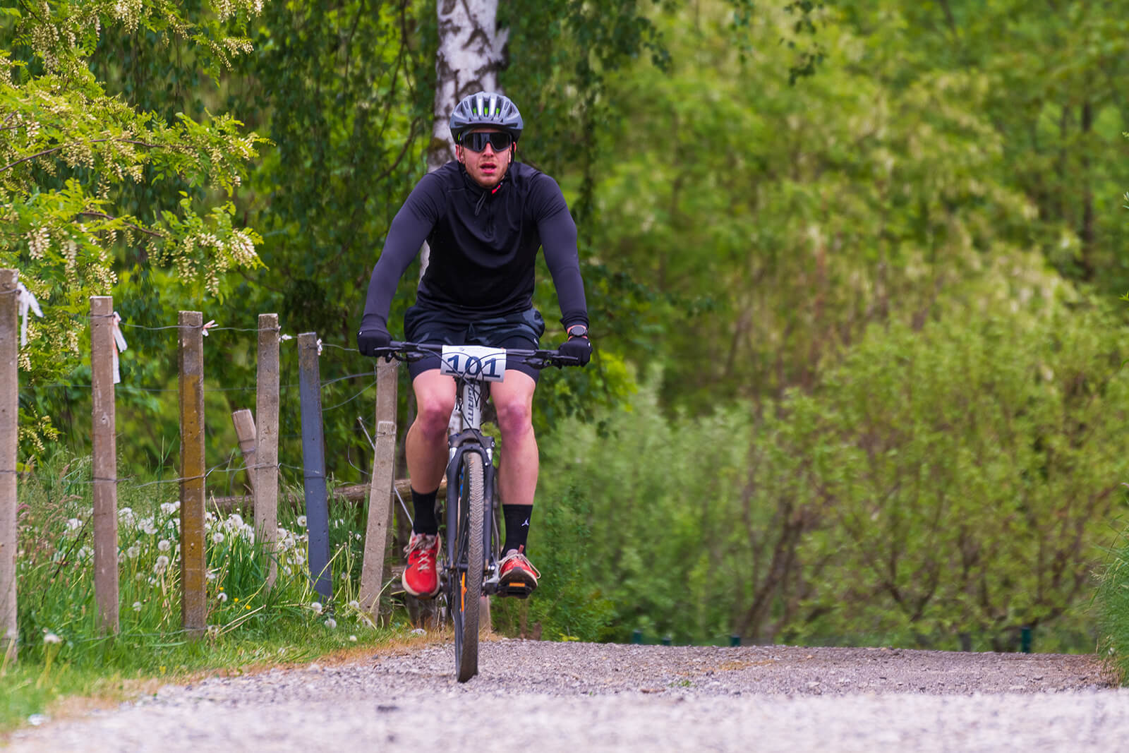
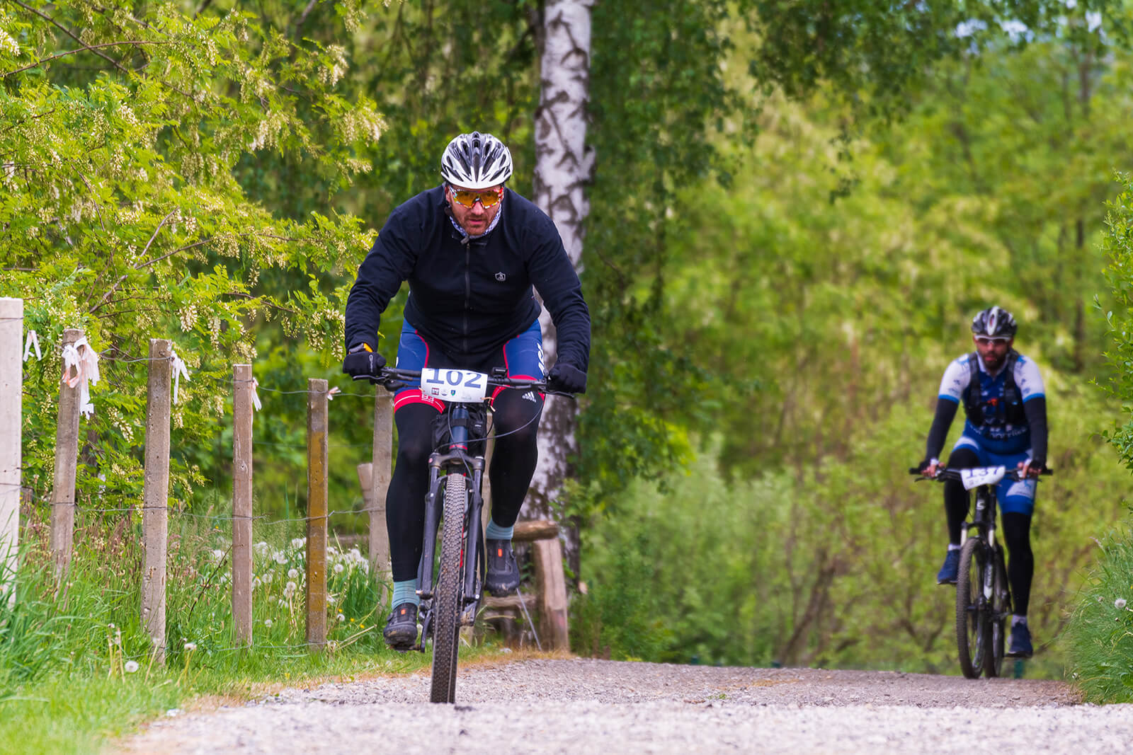
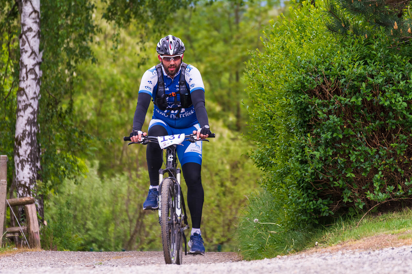
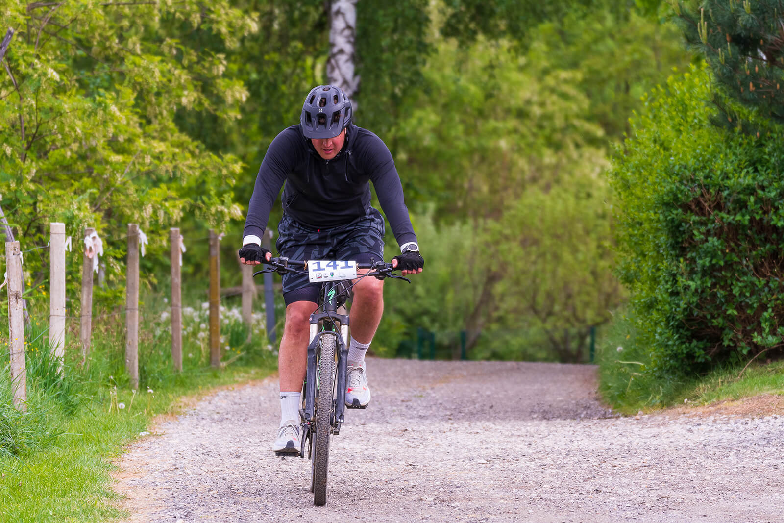
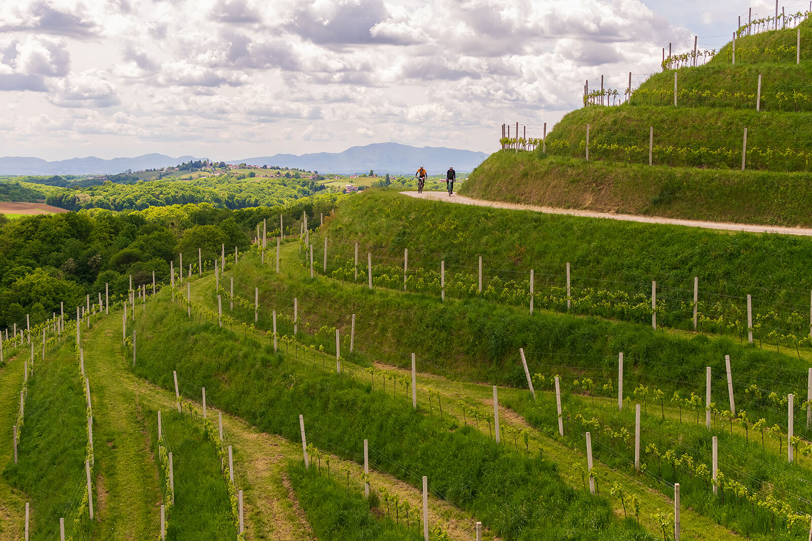
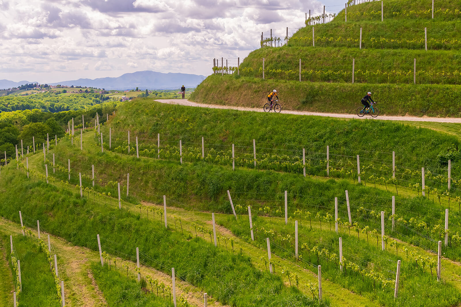
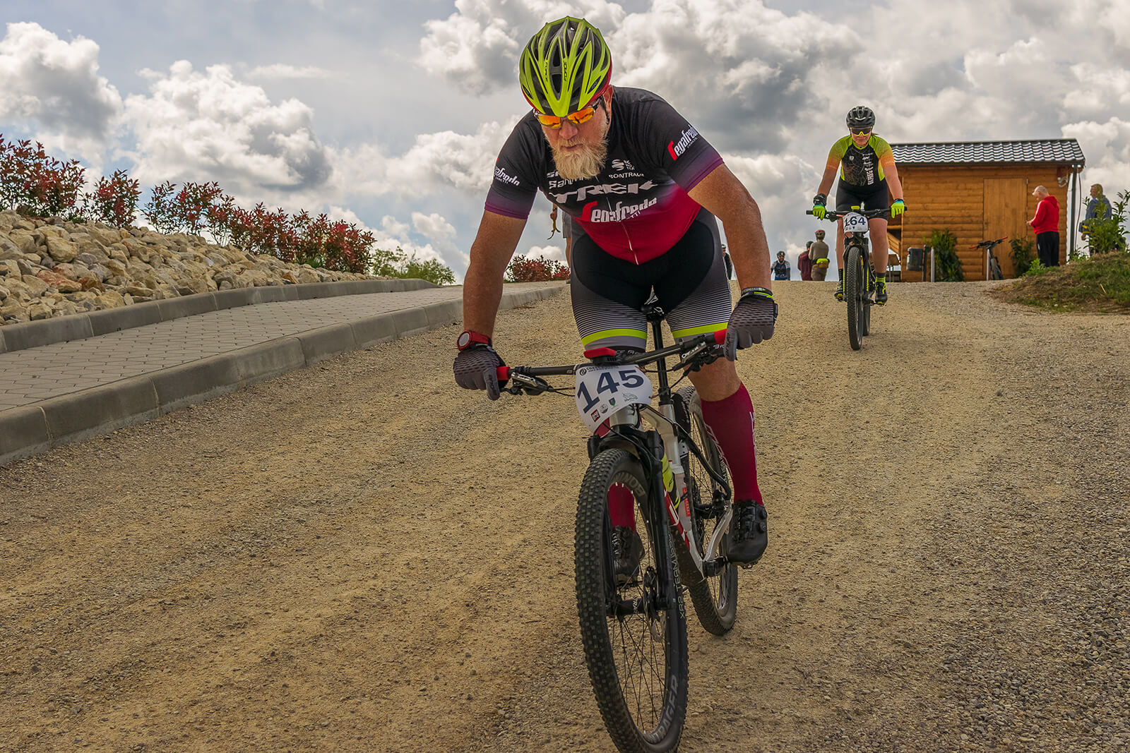
ROUTES
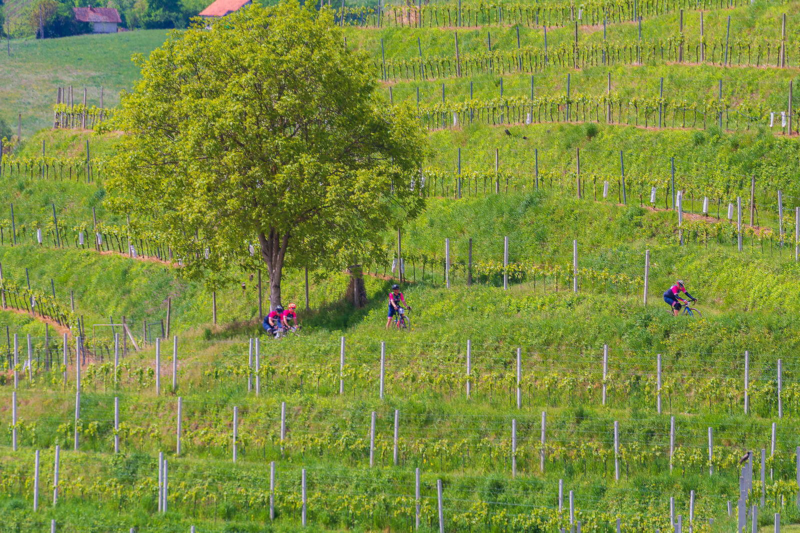
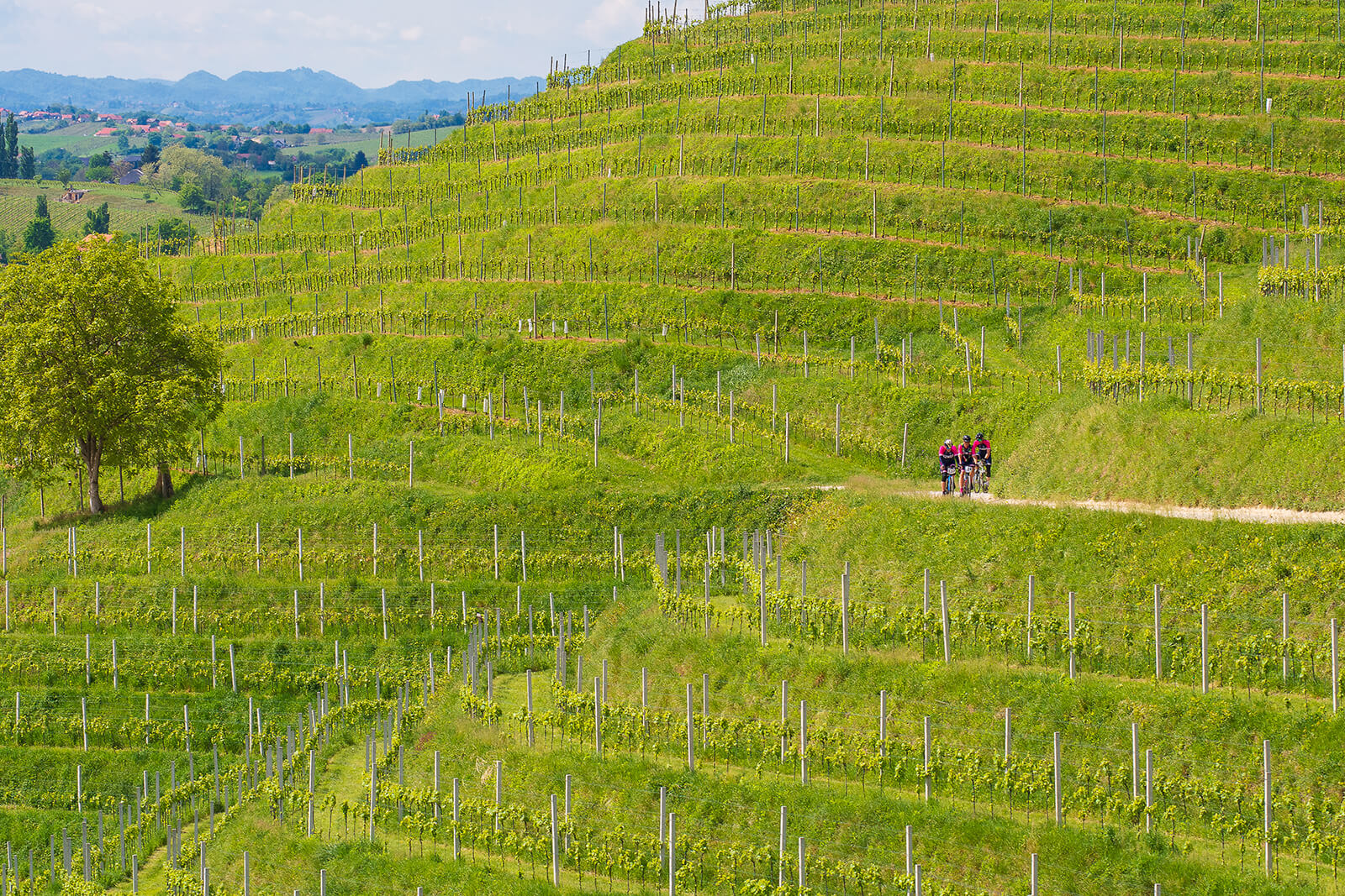
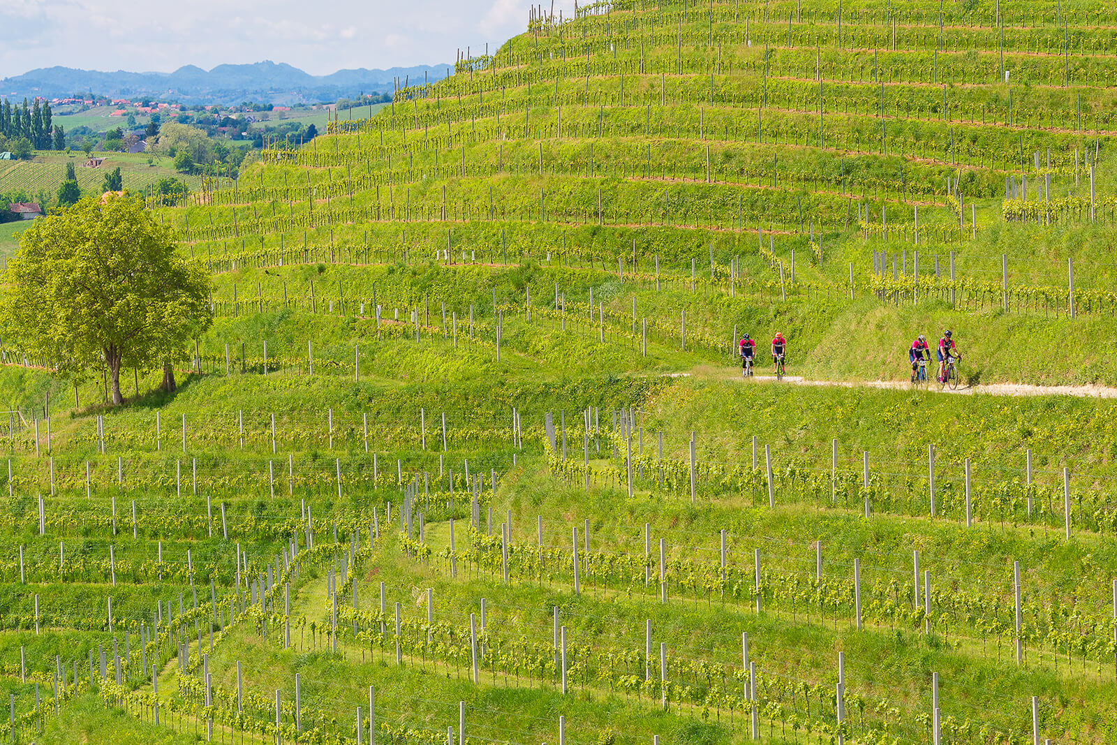
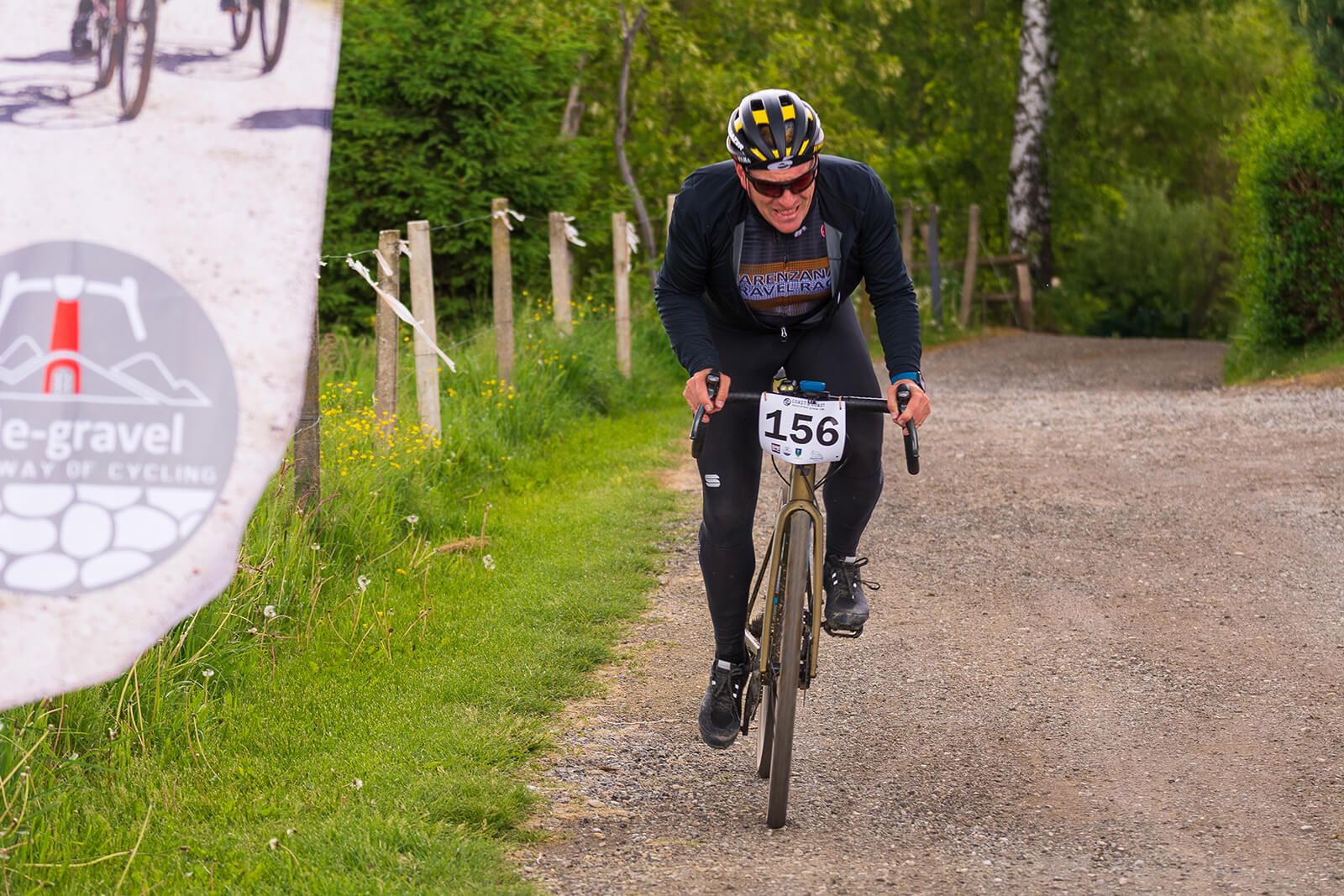
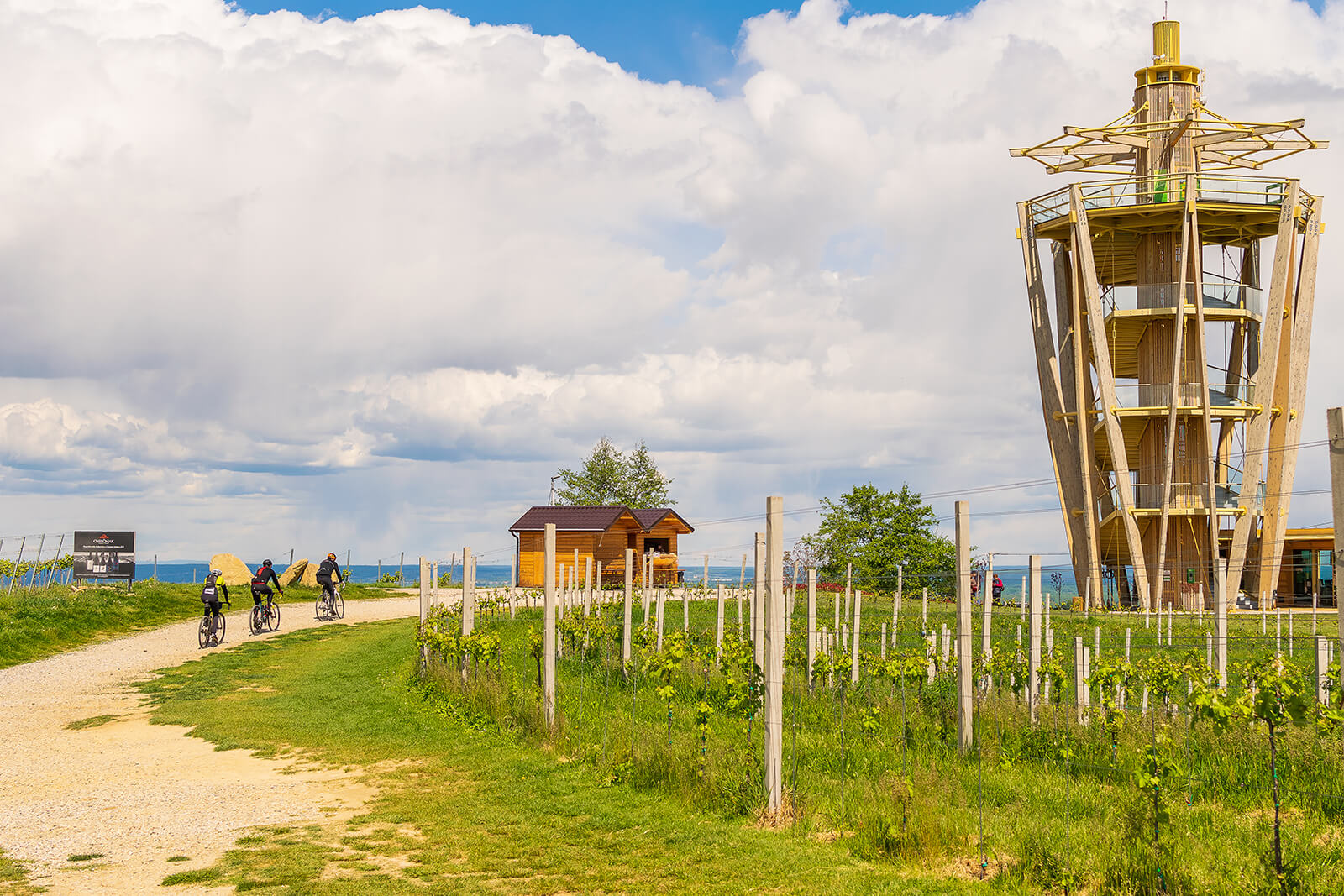
Gravel marathon C2C – 75 km and 100 km between Mura and Drava, along the upper Međimurje, with an equal ratio of flat and hilly parts, mostly outside public traffic areas, on almost all types of surface.
The trail is not signposted.
PARTICIPATION TICKET FOR C2C 2024
The ticket price is €25.
Payment is made to the bank account of the organizer. Upon receipt of the application, the organizer sends a return e-mail with payment information.
START PACKAGE – in the ticket price is included:
- right to start on C2C
- Packet pickups with gifts
- morning buffet before the start
- manual timing (without chip)
- start number with laces for attaching to the bicycle frame
- printed route plan on the map
- GPX route navigation
- drinks (water, juice) and snacks (fruit, pastries) at feed zones
- mountain rescue service on parts of the route
- meal and drink at the finish line
- finisher bike sticker
- publication of the event after the marathon in the media
REGISTRATION AND ACCOMMODATION
Applications, accommodation and booking are made via the application form, from January 29th 2024.